Summary
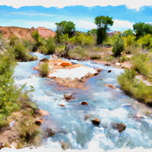
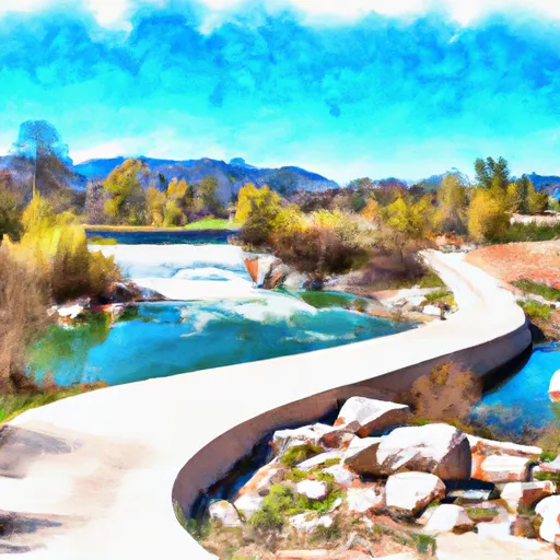
It is a concrete boat ramp that provides easy access to the Jordanelle Reservoir, a large artificial lake that spans over 3,000 acres.
The Rock Cliff Boat Ramp is a double lane ramp that is 30 feet wide, making it ideal for launching and retrieving boats of various sizes. It also has a large parking lot that can accommodate up to 200 vehicles and boat trailers, making it a popular destination for boaters and anglers.
The Jordanelle Reservoir is a popular destination for boating and fishing enthusiasts, with a variety of fish species including rainbow trout, brown trout, and smallmouth bass. The reservoir is open to boats of all kinds, including motorized and non-motorized boats, sailboats, and personal watercraft.
In terms of amenities, the Rock Cliff Boat Ramp offers restroom facilities, picnic areas, and a fishing dock. The ramp is maintained by the State of Utah and is open year-round, weather permitting.
Overall, the Rock Cliff Boat Ramp is a well-maintained and popular boat launch site that provides easy access to the Jordanelle Reservoir for boating and fishing activities.
°F
°F
mph
Wind
%
Humidity
15-Day Weather Outlook
5-Day Hourly Forecast Detail
Area Streamflow Levels
| PROVO RIVER NEAR HAILSTONE | 120cfs |
| PROVO RIVER AT RIVER ROAD BRIDGE | 136cfs |
| PROVO RIVER NEAR CHARLESTON | 173cfs |
| PROVO RIVER NEAR WOODLAND | 61cfs |
| SNAKE CREEK NEAR CHARLESTON | 35cfs |
| WEBER RIVER NEAR PEOA | 63cfs |

 Rock Cliff Boat Ramp
 Middle Provo (Jordanelle to Deer Creek)
 Source To Nf Boundary
 Trial Lake To U35 Bridge
 Yellow Pine, Upper
 White Pine Lake
 Silver Lake