Rockport Reservoir Reservoir Report
Last Updated: February 21, 2026
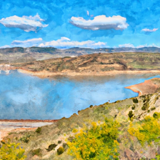
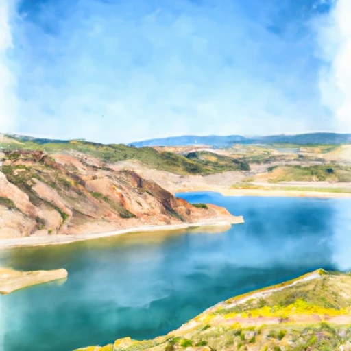
Rockport Reservoir is a man-made lake in Summit County, Utah, which was created in the 1950s by the construction of Wanship Dam.
Summary
It is situated at an elevation of 6,050 feet and has a surface area of 1,080 acres. The reservoir's primary source of water is the Weber River, which is fed by snowmelt from the Wasatch Mountains. The reservoir provides water for irrigation, municipal, and industrial uses, and also offers recreational activities like fishing, boating, and camping. The reservoir's water level is regulated by the Weber Basin Water Conservancy District, which manages the snowpack providers and surface flow of the reservoir. The reservoir provides a crucial water source for agriculture and municipal uses in the surrounding area, contributing to the local economy and enhancing the quality of life for residents.
°F
°F
mph
Wind
%
Humidity
15-Day Weather Outlook
Reservoir Details
| Storage 24hr Change | 0.07% |
| Percent of Normal | 98% |
| Minimum |
11,387.0 acre-ft
2001-10-08 |
| Maximum |
65,272.42 acre-ft
1996-06-17 |
| Average | 35,788 acre-ft |
Seasonal Comparison
Storage Levels
Storage Levels
Pool Elevation Levels
Total Release Levels
Inflow Levels
5-Day Hourly Forecast Detail
Nearby Streamflow Levels
Dam Data Reference
Condition Assessment
SatisfactoryNo existing or potential dam safety deficiencies are recognized. Acceptable performance is expected under all loading conditions (static, hydrologic, seismic) in accordance with the minimum applicable state or federal regulatory criteria or tolerable risk guidelines.
Fair
No existing dam safety deficiencies are recognized for normal operating conditions. Rare or extreme hydrologic and/or seismic events may result in a dam safety deficiency. Risk may be in the range to take further action. Note: Rare or extreme event is defined by the regulatory agency based on their minimum
Poor A dam safety deficiency is recognized for normal operating conditions which may realistically occur. Remedial action is necessary. POOR may also be used when uncertainties exist as to critical analysis parameters which identify a potential dam safety deficiency. Investigations and studies are necessary.
Unsatisfactory
A dam safety deficiency is recognized that requires immediate or emergency remedial action for problem resolution.
Not Rated
The dam has not been inspected, is not under state or federal jurisdiction, or has been inspected but, for whatever reason, has not been rated.
Not Available
Dams for which the condition assessment is restricted to approved government users.
Hazard Potential Classification
HighDams assigned the high hazard potential classification are those where failure or mis-operation will probably cause loss of human life.
Significant
Dams assigned the significant hazard potential classification are those dams where failure or mis-operation results in no probable loss of human life but can cause economic loss, environment damage, disruption of lifeline facilities, or impact other concerns. Significant hazard potential classification dams are often located in predominantly rural or agricultural areas but could be in areas with population and significant infrastructure.
Low
Dams assigned the low hazard potential classification are those where failure or mis-operation results in no probable loss of human life and low economic and/or environmental losses. Losses are principally limited to the owner's property.
Undetermined
Dams for which a downstream hazard potential has not been designated or is not provided.
Not Available
Dams for which the downstream hazard potential is restricted to approved government users.
Area Campgrounds
| Location | Reservations | Toilets |
|---|---|---|
 Old Church Campground
|
||
 Cedar Point Boat-in Campground
|
||
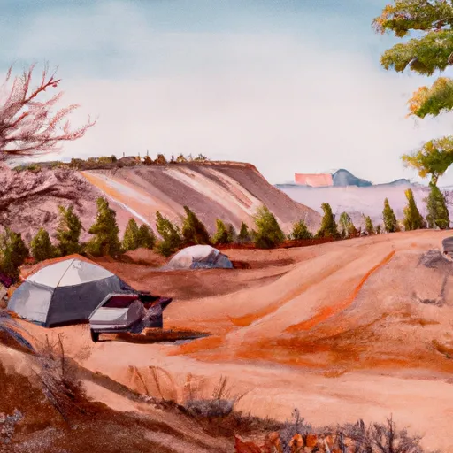 Cedar Point Campground
|
||
 Rockport State Park
|
||
 Lariat Loop Group Site
|
||
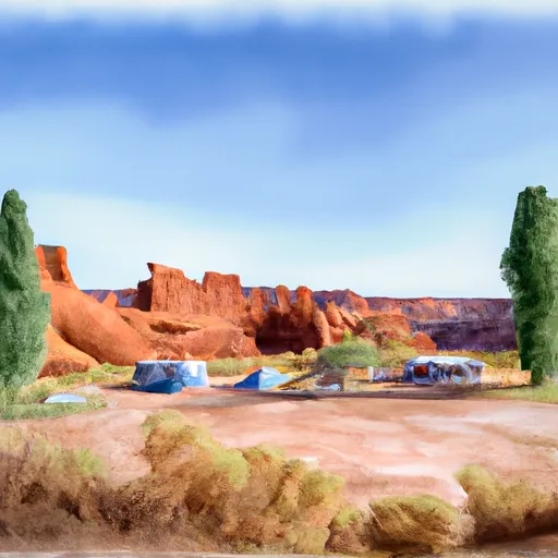 Twin Coves Campground
|

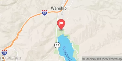

 Wanship
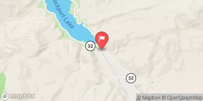
 Rockport Reservoir
 Echo Reservoir
 South Fork Confluence to Below the Narrows