Upper Stillwater Reservoir Reservoir
As of July 20, 2026, Upper Stillwater Reservoir is holding 23,955 acre-ft of water — 305% of normal storage for this date. Storage data refreshed throughout the day.

Upper Stillwater Reservoir
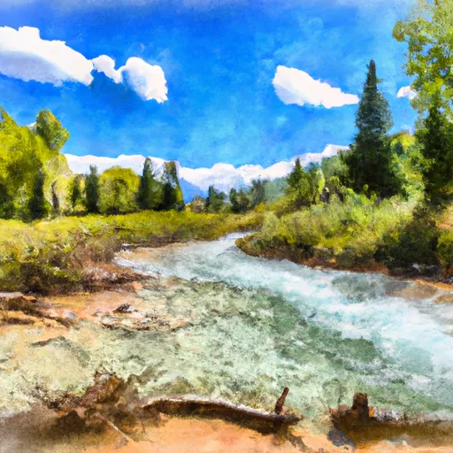
Upper Stillwater Reservoir is a man-made lake located in the Uinta Mountains of northeastern Utah. The reservoir was created in the 1980s to store water for irrigation, municipal, and industrial purposes. The reservoir is fed by snowmelt from the surrounding mountains and by surface flows from local creeks and streams. It has a capacity of 18,500 acre-feet and a surface area of approximately 600 acres. The primary users of water from the reservoir are agricultural producers and municipalities in the area. The reservoir also provides opportunities for recreational activities, such as fishing and boating, and serves as a popular destination for outdoor enthusiasts. The reservoir is managed by the Upper Stillwater Dam and Canal Company, which oversees the operation and maintenance of the dam and associated infrastructure.
Daily levels at Upper Stillwater Reservoir
Storage volume, pool elevation, and total release plotted from the operating agency's daily observations.
Storage
acre-ft · code 17
Inflow
cfs · code 29
Pool Elevation
ft · code 49
Total Release
cfs · code 42
Plan around the weather
Same NOAA / yr.no feed Snoflo's iOS app uses. Watch the precipitation column on the meteogram -- rain on the basin upstream typically lifts inflow 24-72 hours later.
Next 5 days, hour by hour
Temperature line with weather symbols on top, snow + rain accumulation as columns, humidity as a dotted line.
5-day forecast table
Every 3 hours, broken out across temperature, snow, rain, humidity, and wind. Each cell is colour-coded relative to the column min/max.
| Time | Condition | Temp (°F) | Snow (in) | Rain (in) | Humidity (%) | Wind (mps) | Wind dir |
|---|---|---|---|---|---|---|---|
| Loading detailed forecast… | |||||||
15-day temperature & precipitation
Daily temperatures, snow, and rain projected over the next two weeks.
Nearby streamflow gauges
USGS streamgauges around Upper Stillwater Reservoir -- inflows here typically show up in storage 24-72 hours later.
| Streamgauge | Discharge | View |
|---|---|---|
| Rock Creek Near Mountain Home | 90 cfs | → |
| Lake Fork River Ab Moon Lake | 73 cfs | → |
| Lake Fork River Bl Moon Lake Nr Mountain Home | 64 cfs | → |
| Duchesne River Near Tabiona | 74 cfs | → |
| Yellowstone River Near Altonah | 152 cfs | → |
| Yellowstone R. At Bridge Campgrnd | 127 cfs | → |


About Upper Stillwater Reservoir
Where does the data for Upper Stillwater Reservoir come from?
Daily storage, pool elevation, and release rates are sourced from USGS, USBR, and USACE monitoring stations. Weather forecast comes from NOAA / yr.no -- the same feed Snoflo's iOS app uses.
How often is the report updated?
Storage observations are updated daily by the operating agency. The 15-day weather forecast refreshes throughout the day. Snoflo caches and renders the most recent observation -- check the "as of" timestamp on the storage card.
What does the Hazard hazard rating mean?
The Corps of Engineers' hazard potential classification grades probable consequences if the dam fails: High = probable loss of human life; Significant = no probable loss of human life but possible economic loss / environmental damage; Low = no probable loss of human life, only minor economic / environmental losses. See the Dam Data Reference card below for the full definitions.
What's "% of normal"?
The current storage value compared to the historical average storage on this calendar day. 100% = right on average; values above 100% mean above-normal storage (wet year); values below mean below-normal (dry year or drought).
Can I get alerts when storage crosses a threshold?
Yes -- alerts are managed in the Snoflo iOS app. Favorite this reservoir, set a threshold, and you'll get a push the moment conditions cross.