Calder (Zelph) Reservoir Report
Nearby: Crouse Warner (Matt)
Last Updated: February 12, 2026
Calder (Zelph) is a state-owned dam located in Uintah, Utah, with a primary purpose of irrigation.
Summary
Completed in 1989, this earth dam stands at a hydraulic height of 45 feet and a structural height of 50 feet, with a total length of 374 feet. It has a storage capacity of 2600 acre-feet, with a normal storage level of 1600 acre-feet, serving a drainage area of 35 square miles.
Managed by the Utah Division of Water Rights, Calder (Zelph) is subject to state regulation, permitting, inspection, and enforcement. With a significant hazard potential, the dam undergoes inspections every two years, the last one being in September 2019. While its condition is marked as "Not Rated," the dam remains a crucial structure in the region for water resource management.
Situated along Pot Creek and under the jurisdiction of the Omaha District, Calder (Zelph) plays a vital role in supporting agricultural activities in the area. With its strategic location and operational efficiency, the dam serves as a key component in the water infrastructure network of Utah, ensuring sustainable irrigation practices and water resource utilization for the community.
°F
°F
mph
Wind
%
Humidity
15-Day Weather Outlook
Year Completed |
1989 |
Dam Length |
374 |
River Or Stream |
POT CREEK |
Primary Dam Type |
Earth |
Hydraulic Height |
45 |
Drainage Area |
35 |
Nid Storage |
2600 |
Structural Height |
50 |
Hazard Potential |
Significant |
Nid Height |
50 |
Seasonal Comparison
5-Day Hourly Forecast Detail
Nearby Streamflow Levels
 Green River Near Greendale
|
841cfs |
 Big Brush Creek Abv Red Fleet Res
|
8cfs |
 Green River Near Jensen
|
1430cfs |
 Ashley Cr Abv Sp Nr Vernal Ut
|
4cfs |
 Ashley Creek Near Vernal
|
17cfs |
 Henrys Fork Near Manila
|
49cfs |
Dam Data Reference
Condition Assessment
SatisfactoryNo existing or potential dam safety deficiencies are recognized. Acceptable performance is expected under all loading conditions (static, hydrologic, seismic) in accordance with the minimum applicable state or federal regulatory criteria or tolerable risk guidelines.
Fair
No existing dam safety deficiencies are recognized for normal operating conditions. Rare or extreme hydrologic and/or seismic events may result in a dam safety deficiency. Risk may be in the range to take further action. Note: Rare or extreme event is defined by the regulatory agency based on their minimum
Poor A dam safety deficiency is recognized for normal operating conditions which may realistically occur. Remedial action is necessary. POOR may also be used when uncertainties exist as to critical analysis parameters which identify a potential dam safety deficiency. Investigations and studies are necessary.
Unsatisfactory
A dam safety deficiency is recognized that requires immediate or emergency remedial action for problem resolution.
Not Rated
The dam has not been inspected, is not under state or federal jurisdiction, or has been inspected but, for whatever reason, has not been rated.
Not Available
Dams for which the condition assessment is restricted to approved government users.
Hazard Potential Classification
HighDams assigned the high hazard potential classification are those where failure or mis-operation will probably cause loss of human life.
Significant
Dams assigned the significant hazard potential classification are those dams where failure or mis-operation results in no probable loss of human life but can cause economic loss, environment damage, disruption of lifeline facilities, or impact other concerns. Significant hazard potential classification dams are often located in predominantly rural or agricultural areas but could be in areas with population and significant infrastructure.
Low
Dams assigned the low hazard potential classification are those where failure or mis-operation results in no probable loss of human life and low economic and/or environmental losses. Losses are principally limited to the owner's property.
Undetermined
Dams for which a downstream hazard potential has not been designated or is not provided.
Not Available
Dams for which the downstream hazard potential is restricted to approved government users.
Area Campgrounds
| Location | Reservations | Toilets |
|---|---|---|
 Rye Grass Campsite
|
||
 Big Tree Campsite
|
||
 Little Swallow Campsite 2
|
||
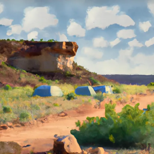 Little Swallow Campsite 1
|
||
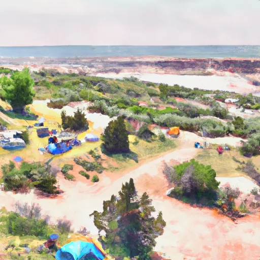 Island View Campsite
|
||
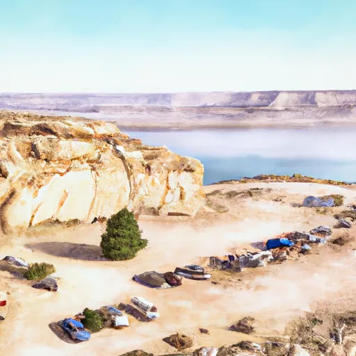 Lone Tree Campsite and Boat Ramp
|

 Calder (Zelph)
 Little Swallow Overlook Daggett County
 Swallow Canyon Boat Ramp
 Indian Crossing Boat Ramp
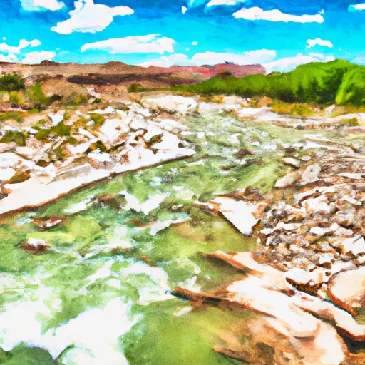 Upper Green River
 Swallow Canyon to Lodore