Summary
It is situated at latitude 40.84433231700007 and longitude -109.08240118999998. The boat ramp provides access to the Flaming Gorge Reservoir, a popular destination for boating, fishing, and other water-based activities.
The Swallow Canyon Boat Ramp is a concrete boat ramp that is suitable for launching and retrieving most types of boats. It is relatively wide, with a total width of approximately 35 feet, which makes it easy to maneuver boats in and out of the water. The ramp is also equipped with a dock, which allows boaters to tie up their boats while they load or unload gear.
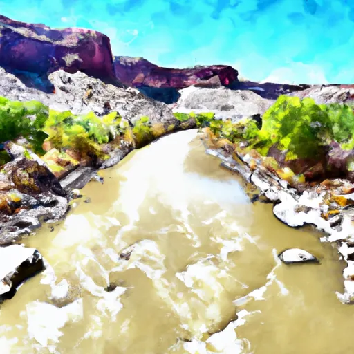
The Flaming Gorge Reservoir is a large body of water that spans over 42,000 acres. It is located on the Green River, which runs through Wyoming and Utah. The reservoir is known for its stunning red rock formations, deep blue waters, and excellent fishing opportunities. Anglers can catch a variety of fish, including trout, kokanee salmon, and smallmouth bass.
The Swallow Canyon Boat Ramp is open to a variety of watercraft, including motorized boats, kayaks, canoes, and paddleboards. However, boaters should be aware that some areas of the reservoir may be off-limits to certain types of watercraft. For example, there are designated "no-wake zones" where motorized boats are not allowed to exceed a certain speed.
In conclusion, the Swallow Canyon Boat Ramp is a concrete boat ramp located in northeastern Utah that provides access to the Flaming Gorge Reservoir. It is suitable for most types of boats and is equipped with a dock for loading and unloading gear. The reservoir is open to a variety of watercraft, but boaters should be aware of any restrictions or no-wake zones.
°F
°F
mph
Wind
%
Humidity
15-Day Weather Outlook
5-Day Hourly Forecast Detail
Area Streamflow Levels
| GREEN RIVER NEAR GREENDALE | 847cfs |
| BIG BRUSH CREEK ABV RED FLEET RES | 9cfs |
| GREEN RIVER NEAR JENSEN | 1390cfs |
| HENRYS FORK NEAR MANILA | 49cfs |
| ASHLEY CR ABV SP NR VERNAL UT | 4cfs |
| ASHLEY CREEK NEAR VERNAL | 18cfs |

 Swallow Canyon Boat Ramp
 Swallow Canyon Road Daggett County
 Bridgeport Boat Ramp
 Swallow Canyon to Lodore
 Upper Green River