Summary
Completed in 1965, this earth dam serves primarily for recreation purposes, including fish and wildlife pond management. With a height of 33 feet and a hydraulic height of 25 feet, the dam holds a maximum storage capacity of 52 acre-feet and covers a surface area of 3 acres.
Despite its significant hazard potential, Lake Oowah Dam (Fs) is currently assessed as being in poor condition, with a last inspection date in July 2019. The dam's spillway type is uncontrolled, with a width of 5 feet, and it is associated with the South Fork Mill Creek. In 1989, the dam underwent modifications to its foundation to ensure its structural integrity.
Located within the Sacramento District, Lake Oowah Dam (Fs) is managed by the Forest Service and has a moderate risk assessment rating. While the dam's risk management measures and emergency action plan details are not specified, its critical role in providing recreational opportunities and managing local fish and wildlife populations underscores the importance of ensuring its continued safe operation and maintenance.
°F
°F
mph
Wind
%
Humidity
15-Day Weather Outlook
Years Modified |
1989 - Foundation |
Year Completed |
1965 |
Dam Length |
170 |
Dam Height |
33 |
River Or Stream |
SO FORK MILL CREEK |
Primary Dam Type |
Earth |
Surface Area |
3 |
Hydraulic Height |
25 |
Drainage Area |
4 |
Nid Storage |
52 |
Structural Height |
38 |
Outlet Gates |
Uncontrolled |
Hazard Potential |
Significant |
Foundations |
Soil |
Nid Height |
38 |
Seasonal Comparison
5-Day Hourly Forecast Detail
Nearby Streamflow Levels
Dam Data Reference
Condition Assessment
SatisfactoryNo existing or potential dam safety deficiencies are recognized. Acceptable performance is expected under all loading conditions (static, hydrologic, seismic) in accordance with the minimum applicable state or federal regulatory criteria or tolerable risk guidelines.
Fair
No existing dam safety deficiencies are recognized for normal operating conditions. Rare or extreme hydrologic and/or seismic events may result in a dam safety deficiency. Risk may be in the range to take further action. Note: Rare or extreme event is defined by the regulatory agency based on their minimum
Poor A dam safety deficiency is recognized for normal operating conditions which may realistically occur. Remedial action is necessary. POOR may also be used when uncertainties exist as to critical analysis parameters which identify a potential dam safety deficiency. Investigations and studies are necessary.
Unsatisfactory
A dam safety deficiency is recognized that requires immediate or emergency remedial action for problem resolution.
Not Rated
The dam has not been inspected, is not under state or federal jurisdiction, or has been inspected but, for whatever reason, has not been rated.
Not Available
Dams for which the condition assessment is restricted to approved government users.
Hazard Potential Classification
HighDams assigned the high hazard potential classification are those where failure or mis-operation will probably cause loss of human life.
Significant
Dams assigned the significant hazard potential classification are those dams where failure or mis-operation results in no probable loss of human life but can cause economic loss, environment damage, disruption of lifeline facilities, or impact other concerns. Significant hazard potential classification dams are often located in predominantly rural or agricultural areas but could be in areas with population and significant infrastructure.
Low
Dams assigned the low hazard potential classification are those where failure or mis-operation results in no probable loss of human life and low economic and/or environmental losses. Losses are principally limited to the owner's property.
Undetermined
Dams for which a downstream hazard potential has not been designated or is not provided.
Not Available
Dams for which the downstream hazard potential is restricted to approved government users.
Area Campgrounds
| Location | Reservations | Toilets |
|---|---|---|
 Oowah
Oowah
|
||
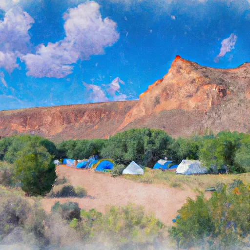 Oowah Campground
|
||
 Warner Lake
|
||
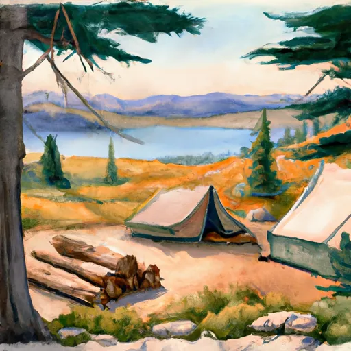 Warner Lake Cabin
|
||
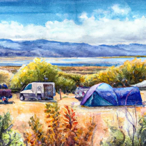 Warner Lake Campground
|
||
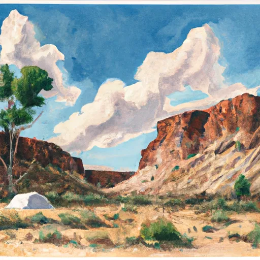 Dakota Crags Camp
|

 Lake Oowah Dam (Fs)
 Mill Creek
 Clark Lake
 Warner Lake
 Blue Lake - La Sals
 Medicine Lake