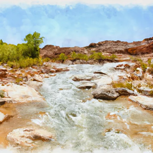
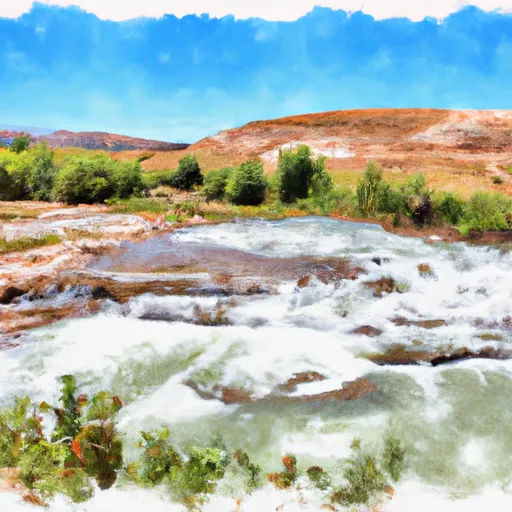
Hansen Dam

Hansen
Hansen, Collin 94-29-71md is a privately owned dam located in Box Elder, Utah, regulated by the Utah Division of Water Rights. Completed in 1994, this earth-type dam stands at a structural height of 9 feet and has a length of 150 feet, providing a storage capacity of 75 acre-feet. Despite being classified as "Undetermined" in terms of hazard potential and "Not Rated" in condition assessment, the dam is subject to regular state inspection, enforcement, and permitting, ensuring its safety and compliance with regulations.
Situated in the Omaha District, Hansen, Collin 94-29-71md serves a primary purpose other than flood control or water supply, with no associated structures and a drainage area of 0. While lacking specific details on spillway type, discharge capacity, or emergency action plan preparedness, the dam's condition and risk management measures remain undisclosed. With its geographical coordinates at 41.58093703 latitude and -112.1779317 longitude in a remote location with no nearby city, the dam continues to be monitored for any potential risks or hazards.
Owned privately and managed by the state of Utah, Hansen, Collin 94-29-71md embodies the complex regulatory framework governing water resources and climate adaptation. As water resource and climate enthusiasts explore the intricacies of dam infrastructure and management, this dam serves as a case study in the ongoing efforts to balance water security, regulatory oversight, and environmental protection. With its history dating back to 1994 and ongoing state supervision, Hansen, Collin 94-29-71md stands as a testament to the importance of sustainable water management practices in an era of changing climate dynamics.
Plan around the weather
Same NOAA / yr.no feed Snoflo's iOS app uses. Watch the precipitation column on the meteogram -- rain on the basin upstream typically lifts inflow 24-72 hours later.
Next 5 days, hour by hour
Temperature line with weather symbols on top, snow + rain accumulation as columns, humidity as a dotted line.
5-day forecast table
Every 3 hours, broken out across temperature, snow, rain, humidity, and wind. Each cell is colour-coded relative to the column min/max.
| Time | Condition | Temp (°F) | Snow (in) | Rain (in) | Humidity (%) | Wind (mps) | Wind dir |
|---|---|---|---|---|---|---|---|
| Loading detailed forecast… | |||||||
15-day temperature & precipitation
Daily temperatures, snow, and rain projected over the next two weeks.
Nearby streamflow gauges
USGS streamgauges around Hansen -- inflows here typically show up in storage 24-72 hours later.
| Streamgauge | Discharge | View |
|---|---|---|
| Bear River Near Corinne | 141 cfs | → |
| Little Bear River At Paradise | 20 cfs | → |
| Weber River Near Plain City | 26 cfs | → |
| Blacksmith Fork Ab U.P.&L. Co | 56 cfs | → |
| Logan River Above State Dam | 98 cfs | → |
| Logan | 74 cfs | → |


About Hansen
Where does the data for Hansen come from?
Structural and regulatory data come from the U.S. Army Corps of Engineers' National Inventory of Dams (NID). Weather forecast comes from NOAA / yr.no -- the same feed Snoflo's iOS app uses.
How often is the report updated?
NID structural data refreshes annually as the Corps publishes updated assessments. The weather forecast refreshes throughout the day.
What does the Undetermined hazard rating mean?
The Corps of Engineers' hazard potential classification grades probable consequences if the dam fails: High = probable loss of human life; Significant = no probable loss of human life but possible economic loss / environmental damage; Low = no probable loss of human life, only minor economic / environmental losses. See the Dam Data Reference card below for the full definitions.
What's "% of normal"?
The current storage value compared to the historical average storage on this calendar day. 100% = right on average; values above 100% mean above-normal storage (wet year); values below mean below-normal (dry year or drought).
Can I get alerts when storage crosses a threshold?
Yes -- alerts are managed in the Snoflo iOS app. Favorite this dam, set a threshold, and you'll get a push the moment conditions cross.
Dam data reference
Condition Assessment
- Satisfactory
- No existing or potential dam safety deficiencies are recognized. Acceptable performance is expected under all loading conditions (static, hydrologic, seismic) in accordance with the minimum applicable state or federal regulatory criteria or tolerable risk guidelines.
- Fair
- No existing dam safety deficiencies are recognized for normal operating conditions. Rare or extreme hydrologic and/or seismic events may result in a dam safety deficiency. Risk may be in the range to take further action.
- Poor
- A dam safety deficiency is recognized for normal operating conditions which may realistically occur. Remedial action is necessary. POOR may also be used when uncertainties exist as to critical analysis parameters which identify a potential dam safety deficiency.
- Unsatisfactory
- A dam safety deficiency is recognized that requires immediate or emergency remedial action for problem resolution.
- Not Rated
- The dam has not been inspected, is not under state or federal jurisdiction, or has been inspected but, for whatever reason, has not been rated.
Hazard Potential Classification
- High
- Dams assigned the high hazard potential classification are those where failure or mis-operation will probably cause loss of human life.
- Significant
- Dams assigned the significant hazard potential classification are those dams where failure or mis-operation results in no probable loss of human life but can cause economic loss, environmental damage, disruption of lifeline facilities, or impact other concerns. Significant hazard potential classification dams are often located in predominantly rural or agricultural areas but could be in areas with population and significant infrastructure.
- Low
- Dams assigned the low hazard potential classification are those where failure or mis-operation results in no probable loss of human life and low economic and/or environmental losses. Losses are principally limited to the owner's property.
- Undetermined
- Dams for which a downstream hazard potential has not been designated or is not provided.