Ashley Valley Flood Control Reservoir Report
Nearby: Herman-Sadlier Steinaker
Last Updated: February 21, 2026
The Ashley Valley Flood Control structure, located in Uintah, Utah, is a privately-owned dam designed to reduce flood risks in the area.
Summary
Regulated by the Utah Division of Water Rights, this earth dam has a hydraulic height of 61 feet and a structural height of 69 feet, providing storage of up to 4100 acre-feet of water. The dam is associated with a tributary to Ashley Creek and serves the primary purpose of flood risk reduction.
With a low hazard potential and a condition assessment that is currently not rated, the Ashley Valley Flood Control structure undergoes inspections every five years to ensure its safety and effectiveness. The last inspection was conducted in August 2017. Although the dam does not have an Emergency Action Plan (EAP) prepared at this time, it meets regulatory guidelines for state jurisdiction and enforcement. The dam's location and design play a crucial role in mitigating flood risks and protecting the surrounding area from potential inundation events.
Overall, the Ashley Valley Flood Control structure stands as a vital asset in managing water resources and climate-related risks in the region. With its capacity for flood risk reduction and storage capabilities, this privately-owned dam plays a key role in safeguarding the community from potential flooding events. As it continues to be regulated and inspected by the appropriate authorities, the dam remains a crucial part of the water infrastructure in Uintah, Utah.
°F
°F
mph
Wind
%
Humidity
15-Day Weather Outlook
River Or Stream |
Tributary to Ahley Creek |
Primary Dam Type |
Earth |
Hydraulic Height |
61 |
Drainage Area |
44 |
Nid Storage |
4100 |
Structural Height |
69 |
Hazard Potential |
Low |
Nid Height |
69 |
Seasonal Comparison
5-Day Hourly Forecast Detail
Nearby Streamflow Levels
 Green River Near Jensen
|
1390cfs |
 Big Brush Creek Abv Red Fleet Res
|
9cfs |
 Ashley Creek Near Vernal
|
18cfs |
 Ashley Cr Abv Sp Nr Vernal Ut
|
4cfs |
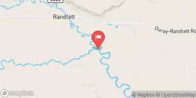 Duchesne River Near Randlett
|
52cfs |
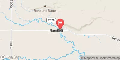 Uinta River At Randlett
|
12cfs |
Dam Data Reference
Condition Assessment
SatisfactoryNo existing or potential dam safety deficiencies are recognized. Acceptable performance is expected under all loading conditions (static, hydrologic, seismic) in accordance with the minimum applicable state or federal regulatory criteria or tolerable risk guidelines.
Fair
No existing dam safety deficiencies are recognized for normal operating conditions. Rare or extreme hydrologic and/or seismic events may result in a dam safety deficiency. Risk may be in the range to take further action. Note: Rare or extreme event is defined by the regulatory agency based on their minimum
Poor A dam safety deficiency is recognized for normal operating conditions which may realistically occur. Remedial action is necessary. POOR may also be used when uncertainties exist as to critical analysis parameters which identify a potential dam safety deficiency. Investigations and studies are necessary.
Unsatisfactory
A dam safety deficiency is recognized that requires immediate or emergency remedial action for problem resolution.
Not Rated
The dam has not been inspected, is not under state or federal jurisdiction, or has been inspected but, for whatever reason, has not been rated.
Not Available
Dams for which the condition assessment is restricted to approved government users.
Hazard Potential Classification
HighDams assigned the high hazard potential classification are those where failure or mis-operation will probably cause loss of human life.
Significant
Dams assigned the significant hazard potential classification are those dams where failure or mis-operation results in no probable loss of human life but can cause economic loss, environment damage, disruption of lifeline facilities, or impact other concerns. Significant hazard potential classification dams are often located in predominantly rural or agricultural areas but could be in areas with population and significant infrastructure.
Low
Dams assigned the low hazard potential classification are those where failure or mis-operation results in no probable loss of human life and low economic and/or environmental losses. Losses are principally limited to the owner's property.
Undetermined
Dams for which a downstream hazard potential has not been designated or is not provided.
Not Available
Dams for which the downstream hazard potential is restricted to approved government users.

 Koa Vernal
 Paradise Park Campground
 Steinaker State Park
 Split Mountain - Dinosaur National Monument
 Split Mountain Gorge Campground
 Split Mountain Campground
 Ashley Valley Flood Control
 Stewart Lake Outflow Near Jensen
 Steinaker Reservoir
 Red Fleet Reservoir
 Split Mountain to Ouray