Lake Champlain At Burlington Reservoir Report
Last Updated: February 23, 2026
Lake Champlain is a large freshwater lake located on the border of Vermont and New York.
Summary
Burlington, Vermont, is one of the largest cities situated along the shores of Lake Champlain. The lake has a long history, having been used for transportation, fishing, and recreation by Native Americans and European settlers for centuries. Today, Lake Champlain is an important hydrological system, providing drinking water for many towns and cities in Vermont. The lake is fed by several small rivers, including the Winooski River, and by snowmelt in the spring. Agricultural practices in the surrounding area have had a significant impact on the lake's water quality, which has led to efforts to reduce nutrient pollution. Recreational uses of the lake include fishing, boating, and swimming.
°F
°F
mph
Wind
%
Humidity
15-Day Weather Outlook
Reservoir Details
| Lake Or Reservoir Water Surface Elevation Above Ngvd 1929, Ft 24hr Change | -0.02% |
| Percent of Normal | 100% |
| Minimum |
93.37 ft
2025-10-20 |
| Maximum |
103.19 ft
2011-05-07 |
| Average | 96 ft |
Seasonal Comparison
Temperature, Water, °C Levels
Specific Conductance, Water, Unfiltered, Microsiemens Per Centimeter At 25°C Levels
Lake Or Reservoir Water Surface Elevation Above Ngvd 1929, Ft Levels
5-Day Hourly Forecast Detail
Nearby Streamflow Levels
 Englesby Brook At Burlington
|
15cfs |
 Potash Br @ Queen City Park Rd
|
116cfs |
 Winooski River Near Essex Junction
|
939cfs |
 Laplatte River At Shelburne Falls
|
20cfs |
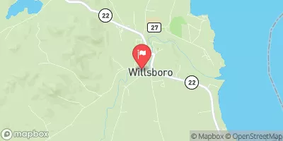 Bouquet River At Willsboro Ny
|
152cfs |
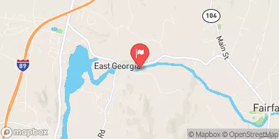 Lamoille River At East Georgia
|
4410cfs |
Dam Data Reference
Condition Assessment
SatisfactoryNo existing or potential dam safety deficiencies are recognized. Acceptable performance is expected under all loading conditions (static, hydrologic, seismic) in accordance with the minimum applicable state or federal regulatory criteria or tolerable risk guidelines.
Fair
No existing dam safety deficiencies are recognized for normal operating conditions. Rare or extreme hydrologic and/or seismic events may result in a dam safety deficiency. Risk may be in the range to take further action. Note: Rare or extreme event is defined by the regulatory agency based on their minimum
Poor A dam safety deficiency is recognized for normal operating conditions which may realistically occur. Remedial action is necessary. POOR may also be used when uncertainties exist as to critical analysis parameters which identify a potential dam safety deficiency. Investigations and studies are necessary.
Unsatisfactory
A dam safety deficiency is recognized that requires immediate or emergency remedial action for problem resolution.
Not Rated
The dam has not been inspected, is not under state or federal jurisdiction, or has been inspected but, for whatever reason, has not been rated.
Not Available
Dams for which the condition assessment is restricted to approved government users.
Hazard Potential Classification
HighDams assigned the high hazard potential classification are those where failure or mis-operation will probably cause loss of human life.
Significant
Dams assigned the significant hazard potential classification are those dams where failure or mis-operation results in no probable loss of human life but can cause economic loss, environment damage, disruption of lifeline facilities, or impact other concerns. Significant hazard potential classification dams are often located in predominantly rural or agricultural areas but could be in areas with population and significant infrastructure.
Low
Dams assigned the low hazard potential classification are those where failure or mis-operation results in no probable loss of human life and low economic and/or environmental losses. Losses are principally limited to the owner's property.
Undetermined
Dams for which a downstream hazard potential has not been designated or is not provided.
Not Available
Dams for which the downstream hazard potential is restricted to approved government users.
Area Campgrounds
| Location | Reservations | Toilets |
|---|---|---|
 North Beach
|
||
 Scouts Point
|
||
 Appletree Bay Campground
|
||
 Ausable Point - DEC
|

 Chace Mill
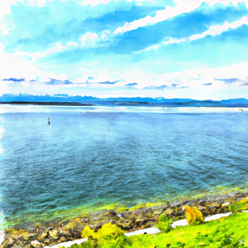 Lake Champlain At Burlington
 Burlington Waterfront Boat Ramp