Melcher Reservoir Report
Nearby: Northeast Developers Little Pond
Last Updated: February 7, 2026
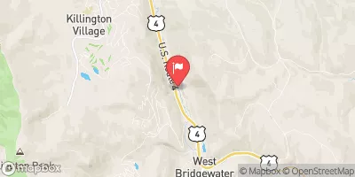
Melcher, located in Rutland, Vermont, is a privately owned recreational dam designed by the USDA NRCS and regulated by the Vermont Department of Environmental Conservation.
Summary
Completed in 1969, this earth dam stands at 22 feet high and spans 282 feet in length, with a storage capacity of 206 acre-feet. Despite its significant hazard potential, the dam's condition has been assessed as poor, with the last inspection conducted in 2014 and a risk assessment rating of moderate.
The dam's primary purpose is for recreation, serving the local community in Wells and providing opportunities for outdoor activities. With a drainage area of 0.46 square miles and a spillway type designated as uncontrolled, Melcher presents a unique blend of structural design and natural elements. While the dam may require improvements to meet safety standards and mitigate risks, its presence adds to the environmental and recreational landscape of the area, attracting water resource and climate enthusiasts alike.
As a vital part of the water infrastructure in Vermont, Melcher serves as a focal point for discussions on dam safety, risk management, and environmental stewardship. With its historical significance and ongoing regulatory oversight, the dam provides a case study for balancing the benefits of water resources for recreation with the need for maintaining infrastructure integrity. For enthusiasts interested in the intersection of water resources, climate resilience, and recreational opportunities, Melcher offers a compelling example of the complexities and challenges faced in managing our natural landscapes.
°F
°F
mph
Wind
%
Humidity
15-Day Weather Outlook
Year Completed |
1969 |
Dam Length |
282 |
Dam Height |
22 |
River Or Stream |
LITTLE POND-TR |
Primary Dam Type |
Earth |
Surface Area |
22 |
Hydraulic Height |
22 |
Drainage Area |
0.46 |
Nid Storage |
206 |
Structural Height |
22 |
Hazard Potential |
Significant |
Foundations |
Soil |
Nid Height |
22 |
Seasonal Comparison
5-Day Hourly Forecast Detail
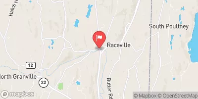
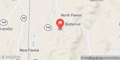
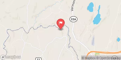
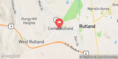
Nearby Streamflow Levels
Dam Data Reference
Condition Assessment
SatisfactoryNo existing or potential dam safety deficiencies are recognized. Acceptable performance is expected under all loading conditions (static, hydrologic, seismic) in accordance with the minimum applicable state or federal regulatory criteria or tolerable risk guidelines.
Fair
No existing dam safety deficiencies are recognized for normal operating conditions. Rare or extreme hydrologic and/or seismic events may result in a dam safety deficiency. Risk may be in the range to take further action. Note: Rare or extreme event is defined by the regulatory agency based on their minimum
Poor A dam safety deficiency is recognized for normal operating conditions which may realistically occur. Remedial action is necessary. POOR may also be used when uncertainties exist as to critical analysis parameters which identify a potential dam safety deficiency. Investigations and studies are necessary.
Unsatisfactory
A dam safety deficiency is recognized that requires immediate or emergency remedial action for problem resolution.
Not Rated
The dam has not been inspected, is not under state or federal jurisdiction, or has been inspected but, for whatever reason, has not been rated.
Not Available
Dams for which the condition assessment is restricted to approved government users.
Hazard Potential Classification
HighDams assigned the high hazard potential classification are those where failure or mis-operation will probably cause loss of human life.
Significant
Dams assigned the significant hazard potential classification are those dams where failure or mis-operation results in no probable loss of human life but can cause economic loss, environment damage, disruption of lifeline facilities, or impact other concerns. Significant hazard potential classification dams are often located in predominantly rural or agricultural areas but could be in areas with population and significant infrastructure.
Low
Dams assigned the low hazard potential classification are those where failure or mis-operation results in no probable loss of human life and low economic and/or environmental losses. Losses are principally limited to the owner's property.
Undetermined
Dams for which a downstream hazard potential has not been designated or is not provided.
Not Available
Dams for which the downstream hazard potential is restricted to approved government users.


 Melcher
 South Wallington To Emerald Lake