Rawson Reservoir Report
Nearby: Bronson Prison Pond
Last Updated: February 25, 2026
Rawson is a privately-owned earth dam located in West Windsor, Vermont, along Lulls Brook.
Summary
Built in 1970, this recreational water resource stands at 22 feet in height and spans 330 feet in length, providing a storage capacity of 45 acre-feet. The dam's primary purpose is for recreation, offering a surface area of 4 acres for outdoor enthusiasts to enjoy. Despite its significant hazard potential, Rawson has been deemed to be in satisfactory condition as of the last assessment in May 2017.
Managed by the Vermont Department of Environmental Conservation (DEC), Rawson is subject to state regulation, permitting, inspection, and enforcement. The dam is designed by the National Resources Conservation Service (NRCS) and falls under the jurisdiction of the New England District of the US Army Corps of Engineers. Additionally, the dam is situated in Windsor County, within the congressional district represented by Peter Welch (D). Although no federal agency currently owns or funds Rawson, its operational and safety aspects are closely monitored at the state level to ensure public safety and environmental compliance.
With its picturesque location and recreational offerings, Rawson serves as a vital water resource for the community. Despite the potential risks associated with its significant hazard potential, the dam's satisfactory condition and regular inspections provide assurance to water resource and climate enthusiasts who frequent the area for outdoor activities. As a well-maintained earth dam in the heart of Vermont, Rawson stands as a testament to the importance of responsible water resource management and the preservation of natural habitats for future generations to enjoy.
°F
°F
mph
Wind
%
Humidity
15-Day Weather Outlook
Year Completed |
1970 |
Dam Length |
330 |
Dam Height |
22 |
River Or Stream |
LULLS BROOK-TR |
Primary Dam Type |
Earth |
Surface Area |
4 |
Hydraulic Height |
22 |
Drainage Area |
0.36 |
Nid Storage |
45 |
Structural Height |
22 |
Hazard Potential |
Significant |
Foundations |
Soil |
Nid Height |
22 |
Seasonal Comparison
5-Day Hourly Forecast Detail
Nearby Streamflow Levels
Dam Data Reference
Condition Assessment
SatisfactoryNo existing or potential dam safety deficiencies are recognized. Acceptable performance is expected under all loading conditions (static, hydrologic, seismic) in accordance with the minimum applicable state or federal regulatory criteria or tolerable risk guidelines.
Fair
No existing dam safety deficiencies are recognized for normal operating conditions. Rare or extreme hydrologic and/or seismic events may result in a dam safety deficiency. Risk may be in the range to take further action. Note: Rare or extreme event is defined by the regulatory agency based on their minimum
Poor A dam safety deficiency is recognized for normal operating conditions which may realistically occur. Remedial action is necessary. POOR may also be used when uncertainties exist as to critical analysis parameters which identify a potential dam safety deficiency. Investigations and studies are necessary.
Unsatisfactory
A dam safety deficiency is recognized that requires immediate or emergency remedial action for problem resolution.
Not Rated
The dam has not been inspected, is not under state or federal jurisdiction, or has been inspected but, for whatever reason, has not been rated.
Not Available
Dams for which the condition assessment is restricted to approved government users.
Hazard Potential Classification
HighDams assigned the high hazard potential classification are those where failure or mis-operation will probably cause loss of human life.
Significant
Dams assigned the significant hazard potential classification are those dams where failure or mis-operation results in no probable loss of human life but can cause economic loss, environment damage, disruption of lifeline facilities, or impact other concerns. Significant hazard potential classification dams are often located in predominantly rural or agricultural areas but could be in areas with population and significant infrastructure.
Low
Dams assigned the low hazard potential classification are those where failure or mis-operation results in no probable loss of human life and low economic and/or environmental losses. Losses are principally limited to the owner's property.
Undetermined
Dams for which a downstream hazard potential has not been designated or is not provided.
Not Available
Dams for which the downstream hazard potential is restricted to approved government users.
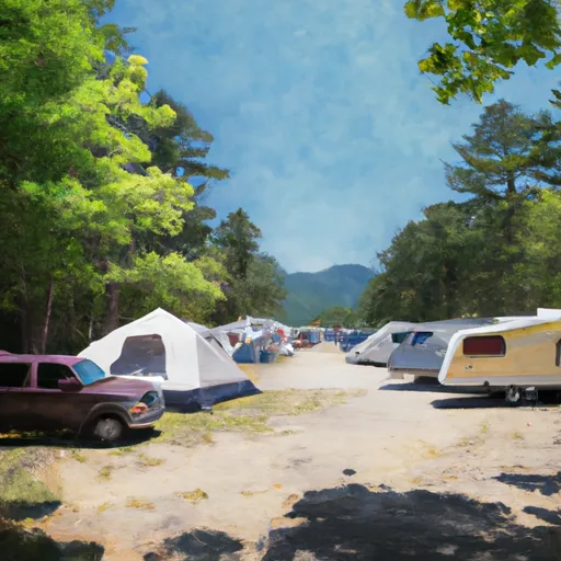
Area Campgrounds
| Location | Reservations | Toilets |
|---|---|---|
 Ascutney Mt Stone Hut
|
||
 Mt. Ascutney State Park
|
||
 Quechee State Park
|
||
 Forest campsite with stream & fire ring
|
||
 Calvin Coolidge State Park
|

 Rawson