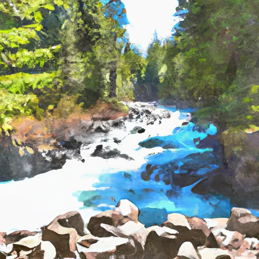
Baker Lake At Upper Baker Dam Near Concrete Reservoir
As of July 19, 2026, Baker Lake At Upper Baker Dam Near Concrete is holding 726 ft of water — 100% of normal storage for this date. Storage data refreshed throughout the day.

Baker Lake At Upper Baker Dam Near Concrete
Baker Lake is a reservoir located at Upper Baker Dam near Concrete, WA in Washington State. It was created in 1959 as a part of the Baker River Hydroelectric Project, which generates electricity for Seattle and surrounding areas. The dam is over 300 feet tall, and the lake can hold over 80,000 acre-feet of water. The Baker River is a major tributary of the Skagit River and is fed by snowmelt from the North Cascades Mountains. The lake is also fed by several smaller tributaries and has a surface area of over 2,800 acres. The area surrounding the lake is used for recreational activities such as fishing, boating, camping, and hiking. The lake also provides water for local agriculture and irrigation. The lake's water level is closely monitored, and adjustments are made to ensure it does not exceed safe levels.
Daily levels at Baker Lake At Upper Baker Dam Near Concrete
Storage volume, pool elevation, and total release plotted from the operating agency's daily observations.
Lake or reservoir water surface elevation above NAVD 1988, ft
ft · code 62615
Precipitation, total, in
in · code 00045
Plan around the weather
Same NOAA / yr.no feed Snoflo's iOS app uses. Watch the precipitation column on the meteogram -- rain on the basin upstream typically lifts inflow 24-72 hours later.
Next 5 days, hour by hour
Temperature line with weather symbols on top, snow + rain accumulation as columns, humidity as a dotted line.
5-day forecast table
Every 3 hours, broken out across temperature, snow, rain, humidity, and wind. Each cell is colour-coded relative to the column min/max.
| Time | Condition | Temp (°F) | Snow (in) | Rain (in) | Humidity (%) | Wind (mps) | Wind dir |
|---|---|---|---|---|---|---|---|
| Loading detailed forecast… | |||||||
15-day temperature & precipitation
Daily temperatures, snow, and rain projected over the next two weeks.
Nearby streamflow gauges
USGS streamgauges around Baker Lake At Upper Baker Dam Near Concrete -- inflows here typically show up in storage 24-72 hours later.
| Streamgauge | Discharge | View |
|---|---|---|
| Skagit River Near Concrete | 7,850 cfs | → |
| Bacon Creek Below Oakes Creek Near Marblemount | 163 cfs | → |
| Skagit River At Marblemount | 3,360 cfs | → |
| Cascade River At Marblemount | 588 cfs | → |
| Sauk River Near Sauk | 2,170 cfs | → |
| Clearwater Creek Near Welcome | 39 cfs | → |
Make a day of it
Boat launches, lakeside camping, fishing access, and other reservoirs near Baker Lake At Upper Baker Dam Near Concrete.
Boat launches
See all →


Campgrounds
See all →


River runs
See all →


About Baker Lake At Upper Baker Dam Near Concrete
Where does the data for Baker Lake At Upper Baker Dam Near Concrete come from?
Daily storage, pool elevation, and release rates are sourced from USGS, USBR, and USACE monitoring stations. Weather forecast comes from NOAA / yr.no -- the same feed Snoflo's iOS app uses.
How often is the report updated?
Storage observations are updated daily by the operating agency. The 15-day weather forecast refreshes throughout the day. Snoflo caches and renders the most recent observation -- check the "as of" timestamp on the storage card.
What does the Hazard hazard rating mean?
The Corps of Engineers' hazard potential classification grades probable consequences if the dam fails: High = probable loss of human life; Significant = no probable loss of human life but possible economic loss / environmental damage; Low = no probable loss of human life, only minor economic / environmental losses. See the Dam Data Reference card below for the full definitions.
What's "% of normal"?
The current storage value compared to the historical average storage on this calendar day. 100% = right on average; values above 100% mean above-normal storage (wet year); values below mean below-normal (dry year or drought).
Can I get alerts when storage crosses a threshold?
Yes -- alerts are managed in the Snoflo iOS app. Favorite this reservoir, set a threshold, and you'll get a push the moment conditions cross.