Castle Lake Nr Mount St Helens Nr Spirit Lake Reservoir
As of July 19, 2026, Castle Lake Nr Mount St Helens Nr Spirit Lake is holding 2,578 ft of water — 100% of normal storage for this date. Storage data refreshed throughout the day.

Castle Lake Nr Mount St Helens Nr Spirit Lake
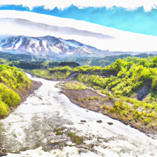
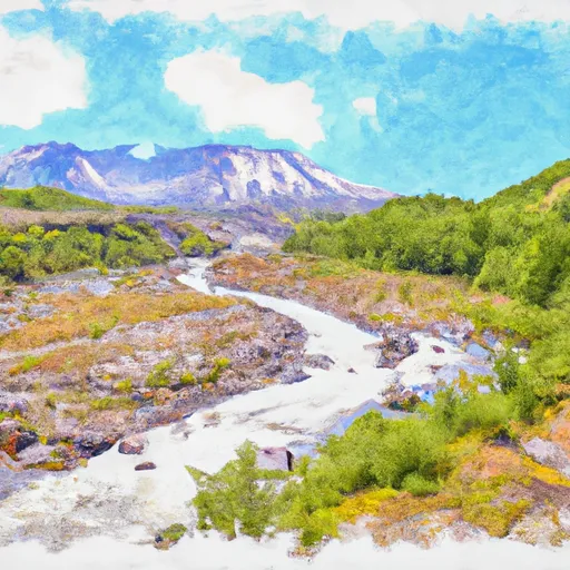
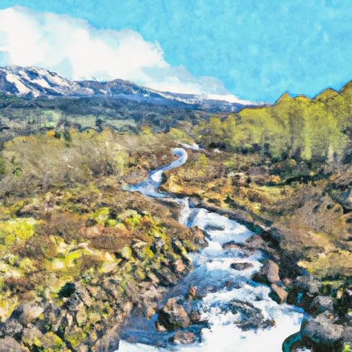
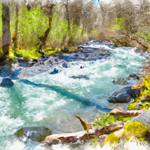
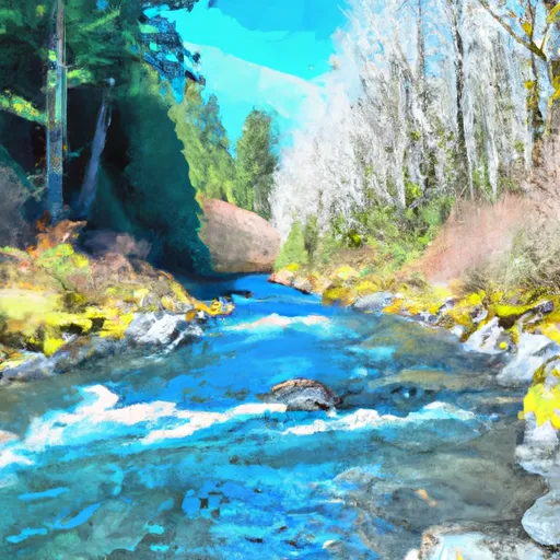
Castle Lake is a small freshwater lake located near Mount St. Helens in Washington state. The lake is known for its crystal-clear waters, which are fed by snowpack and several creeks. The area around the lake was once home to the Nespelem tribe and later used for cattle grazing. Today, Castle Lake is a popular destination for swimming, fishing, and hiking. The lake's hydrology is closely tied to Mount St. Helens' volcanic activity, which has affected the region's water quality and flow patterns. In the winter, the snowpack surrounding the lake provides a crucial source of water for the region's farms and communities. Despite the lake's remote location, it remains a valuable resource for local residents and visitors alike.
Daily levels at Castle Lake Nr Mount St Helens Nr Spirit Lake
Storage volume, pool elevation, and total release plotted from the operating agency's daily observations.
Lake or reservoir water surface elevation above NGVD 1929, ft
ft · code 62614
Plan around the weather
Same NOAA / yr.no feed Snoflo's iOS app uses. Watch the precipitation column on the meteogram -- rain on the basin upstream typically lifts inflow 24-72 hours later.
Next 5 days, hour by hour
Temperature line with weather symbols on top, snow + rain accumulation as columns, humidity as a dotted line.
5-day forecast table
Every 3 hours, broken out across temperature, snow, rain, humidity, and wind. Each cell is colour-coded relative to the column min/max.
| Time | Condition | Temp (°F) | Snow (in) | Rain (in) | Humidity (%) | Wind (mps) | Wind dir |
|---|---|---|---|---|---|---|---|
| Loading detailed forecast… | |||||||
15-day temperature & precipitation
Daily temperatures, snow, and rain projected over the next two weeks.
Nearby streamflow gauges
USGS streamgauges around Castle Lake Nr Mount St Helens Nr Spirit Lake -- inflows here typically show up in storage 24-72 hours later.
| Streamgauge | Discharge | View |
|---|---|---|
| Nf Toutle River Below Srs Near Kid Valley | 149 cfs | → |
| Cowlitz River Near Kosmos | 1,990 cfs | → |
| Speelyai Creek Near Cougar | 6 cfs | → |
| Muddy Creek Below Clear Creek Near Cougar | 148 cfs | → |
| Lewis River Above Muddy River Near Cougar | 266 cfs | → |
| South Fork Toutle River At Toutle | 868 cfs | → |
Make a day of it
Boat launches, lakeside camping, fishing access, and other reservoirs near Castle Lake Nr Mount St Helens Nr Spirit Lake.
Boat launches
See all →


Campgrounds
See all →


Fishing spots
See all →
River runs
See all →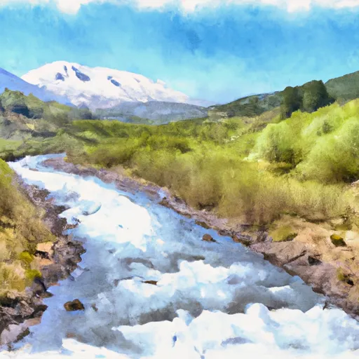

About Castle Lake Nr Mount St Helens Nr Spirit Lake
Where does the data for Castle Lake Nr Mount St Helens Nr Spirit Lake come from?
Daily storage, pool elevation, and release rates are sourced from USGS, USBR, and USACE monitoring stations. Weather forecast comes from NOAA / yr.no -- the same feed Snoflo's iOS app uses.
How often is the report updated?
Storage observations are updated daily by the operating agency. The 15-day weather forecast refreshes throughout the day. Snoflo caches and renders the most recent observation -- check the "as of" timestamp on the storage card.
What does the Hazard hazard rating mean?
The Corps of Engineers' hazard potential classification grades probable consequences if the dam fails: High = probable loss of human life; Significant = no probable loss of human life but possible economic loss / environmental damage; Low = no probable loss of human life, only minor economic / environmental losses. See the Dam Data Reference card below for the full definitions.
What's "% of normal"?
The current storage value compared to the historical average storage on this calendar day. 100% = right on average; values above 100% mean above-normal storage (wet year); values below mean below-normal (dry year or drought).
Can I get alerts when storage crosses a threshold?
Yes -- alerts are managed in the Snoflo iOS app. Favorite this reservoir, set a threshold, and you'll get a push the moment conditions cross.