Howard A Hanson Reservoir Near Palmer Reservoir Report
Last Updated: February 17, 2026
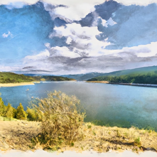
Howard A Hanson Reservoir, located in Washington State near Palmer, is a large water storage reservoir that was constructed in the 1960s for flood control, water supply, and hydroelectric power generation.
Summary
The reservoir is fed by several major creeks and rivers, including the Green River and its tributaries. The surface flow of the reservoir is primarily from the Green River, which provides over 80% of the water volume. The reservoir also receives water from snowpack, which contributes to the reservoir's water levels during the spring and early summer. The reservoir has been used for agricultural irrigation and recreation, including fishing, boating, and camping. However, in recent years, the reservoir has faced problems with sediment buildup, water quality issues, and potential dam safety concerns.
°F
°F
mph
Wind
%
Humidity
15-Day Weather Outlook
Reservoir Details
| Lake Or Reservoir Water Surface Elevation Above Ngvd 1929, Ft 24hr Change | 0.09% |
| Percent of Normal | 100% |
| Minimum |
1,068.0 ft
2007-12-05 |
| Maximum |
1,188.2 ft
2009-01-10 |
| Average | 1,085 ft |
| Hydraulic_Height | 220 |
| Drainage_Area | 221 |
| Year_Completed | 1962 |
| Nid_Storage | 136700 |
| Structural_Height | 235 |
| River_Or_Stream | GREEN |
| Surface_Area | 20000 |
| Hazard_Potential | High |
| Dam_Length | 500 |
| Primary_Dam_Type | Rockfill |
| Nid_Height | 235 |
Seasonal Comparison
Reservoir Storage, Acre-Ft Levels
Lake Or Reservoir Water Surface Elevation Above Ngvd 1929, Ft Levels
5-Day Hourly Forecast Detail
Nearby Streamflow Levels
Dam Data Reference
Condition Assessment
SatisfactoryNo existing or potential dam safety deficiencies are recognized. Acceptable performance is expected under all loading conditions (static, hydrologic, seismic) in accordance with the minimum applicable state or federal regulatory criteria or tolerable risk guidelines.
Fair
No existing dam safety deficiencies are recognized for normal operating conditions. Rare or extreme hydrologic and/or seismic events may result in a dam safety deficiency. Risk may be in the range to take further action. Note: Rare or extreme event is defined by the regulatory agency based on their minimum
Poor A dam safety deficiency is recognized for normal operating conditions which may realistically occur. Remedial action is necessary. POOR may also be used when uncertainties exist as to critical analysis parameters which identify a potential dam safety deficiency. Investigations and studies are necessary.
Unsatisfactory
A dam safety deficiency is recognized that requires immediate or emergency remedial action for problem resolution.
Not Rated
The dam has not been inspected, is not under state or federal jurisdiction, or has been inspected but, for whatever reason, has not been rated.
Not Available
Dams for which the condition assessment is restricted to approved government users.
Hazard Potential Classification
HighDams assigned the high hazard potential classification are those where failure or mis-operation will probably cause loss of human life.
Significant
Dams assigned the significant hazard potential classification are those dams where failure or mis-operation results in no probable loss of human life but can cause economic loss, environment damage, disruption of lifeline facilities, or impact other concerns. Significant hazard potential classification dams are often located in predominantly rural or agricultural areas but could be in areas with population and significant infrastructure.
Low
Dams assigned the low hazard potential classification are those where failure or mis-operation results in no probable loss of human life and low economic and/or environmental losses. Losses are principally limited to the owner's property.
Undetermined
Dams for which a downstream hazard potential has not been designated or is not provided.
Not Available
Dams for which the downstream hazard potential is restricted to approved government users.
Area Campgrounds
| Location | Reservations | Toilets |
|---|---|---|
 Kanaskat Palmer Recreation Area
|
||
 Kanaskat-Palmer State Park Campground
|
||
 Greenwater Campground
|


 Howard A. Hanson Dam
 Howard A Hanson Reservoir Near Palmer
 Cedar Lake (Masonry Pool) Near Cedar Falls
 Chester Morse Lake At Cedar Falls
 Mud Mountain Lake Near Buckley
 Huckleberry Creek To Confluence With Clearwater River