South Fork Tolt Reservoir Near Carnation Reservoir
As of July 27, 2026, South Fork Tolt Reservoir Near Carnation is holding 1,748 ft of water — 100% of normal storage for this date. Storage data refreshed throughout the day.

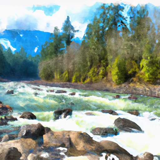
South Fork Tolt Reservoir Near Carnation
South Fork Tolt Reservoir is located near Carnation, WA in King County, Washington. The reservoir was created in the 1960s to provide water for the growing population of nearby cities. It is fed by surface flow from the Tolt River and snowpack providers.
The hydrology of the reservoir is influenced by the South Fork Tolt River, which flows into the reservoir from the west. The reservoir provides water to the city of Seattle, and it also supports agricultural and recreational activities in the area.
The reservoir has a capacity of 18,000 acre-feet and is approximately 80% full during the summer months. It provides water for irrigation and drinking water for the surrounding communities.
In terms of recreational activities, the reservoir is popular for fishing, boating, and hiking. The surrounding area is also home to several campgrounds and picnic areas, making it a popular destination for outdoor enthusiasts.
Daily levels at South Fork Tolt Reservoir Near Carnation
Storage volume, pool elevation, and total release plotted from the operating agency's daily observations.
Incident solar radiation intensity, (cal/cm²)/d
cal/cm2/d · code 00030
Lake or reservoir water surface elevation above NGVD 1929, ft
ft · code 62614
Precipitation, total, in
in · code 00045
Relative humidity, percent
% · code 00052
Temperature, air, °F
deg F · code 00021
Wind direction, degrees clockwise from north
Deg · code 00036
Wind speed, mph
mph · code 00035
Plan around the weather
Same NOAA / yr.no feed Snoflo's iOS app uses. Watch the precipitation column on the meteogram -- rain on the basin upstream typically lifts inflow 24-72 hours later.
Next 5 days, hour by hour
Temperature line with weather symbols on top, snow + rain accumulation as columns, humidity as a dotted line.
5-day forecast table
Every 3 hours, broken out across temperature, snow, rain, humidity, and wind. Each cell is colour-coded relative to the column min/max.
| Time | Condition | Temp (°F) | Snow (in) | Rain (in) | Humidity (%) | Wind (mps) | Wind dir |
|---|---|---|---|---|---|---|---|
| Loading detailed forecast… | |||||||
15-day temperature & precipitation
Daily temperatures, snow, and rain projected over the next two weeks.
Nearby streamflow gauges
USGS streamgauges around South Fork Tolt Reservoir Near Carnation -- inflows here typically show up in storage 24-72 hours later.
| Streamgauge | Discharge | View |
|---|---|---|
| South Fork Tolt River Near Carnation | 65 cfs | → |
| South Fork Tolt River Near Index | 4 cfs | → |
| Sf Tolt River Bl Regulating Basin Nr Carnation | 70 cfs | → |
| North Fork Tolt River Near Carnation | 68 cfs | → |
| Nf Snoqualmie River Near Snoqualmie Falls | 51 cfs | → |
| Tolt River Near Carnation | 132 cfs | → |
Make a day of it
Boat launches, lakeside camping, fishing access, and other reservoirs near South Fork Tolt Reservoir Near Carnation.
Boat launches
See all →


Fishing spots
See all →
River runs
See all →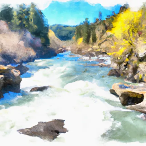


About South Fork Tolt Reservoir Near Carnation
What is the water level at South Fork Tolt Reservoir Near Carnation Reservoir right now?
As of July 27, 2026, South Fork Tolt Reservoir Near Carnation Reservoir is holding 1,748 ft, about 100% of normal for this date. Pool elevation and the year-over-year trend are shown above.
Is South Fork Tolt Reservoir Near Carnation Reservoir high or low right now?
Compare the percent-of-normal figure on this page: above 100% means storage is higher than the historical average for the date (a wet year), below 100% means lower (a dry year or drought). The daily-levels chart shows the current trend.
Where does the data for South Fork Tolt Reservoir Near Carnation come from?
Daily storage, pool elevation, and release rates are sourced from USGS, USBR, and USACE monitoring stations. Weather forecast comes from NOAA / yr.no -- the same feed Snoflo's iOS app uses.
How often is the report updated?
Storage observations are updated daily by the operating agency. The 15-day weather forecast refreshes throughout the day. Snoflo caches and renders the most recent observation -- check the "as of" timestamp on the storage card.
What does the Hazard hazard rating mean?
The Corps of Engineers' hazard potential classification grades probable consequences if the dam fails: High = probable loss of human life; Significant = no probable loss of human life but possible economic loss / environmental damage; Low = no probable loss of human life, only minor economic / environmental losses. See the Dam Data Reference card below for the full definitions.
What's "% of normal"?
The current storage value compared to the historical average storage on this calendar day. 100% = right on average; values above 100% mean above-normal storage (wet year); values below mean below-normal (dry year or drought).
Can I get alerts when storage crosses a threshold?
Yes -- alerts are managed in the Snoflo iOS app. Favorite this reservoir, set a threshold, and you'll get a push the moment conditions cross.