Moran Slough Dike Reservoir Report
Nearby: Rearing Pond Dike Priest Rapids
Last Updated: December 23, 2025
Moran Slough Dike is a crucial structure located in Richland, Washington, designed and constructed by Harza Engineering in 1964.
°F
°F
mph
Wind
%
Humidity
Summary
This earth dam stands at a height of 13 feet and spans 600 feet, serving primarily as a Fish and Wildlife Pond. With a storage capacity of 75 acre-feet and a drainage area of 0.5 square miles, the dam plays a vital role in managing water resources in the region. Despite its low hazard potential, the dam is regulated by the Federal Energy Regulatory Commission and undergoes regular inspections to ensure its structural integrity.
Situated in Grant County, Washington, Moran Slough Dike is subject to state jurisdiction and regulation by the Department of Ecology. The dam's primary purpose of supporting fish and wildlife habitats underscores its importance in maintaining ecological balance in the area. While the dam has not been significantly modified over the years, its moderate risk assessment rating highlights the need for continued monitoring and risk management measures. With a history of state permitting, inspection, and enforcement, the Moran Slough Dike stands as a testament to the collaborative efforts of public utility agencies in safeguarding water resources and climate resilience in the region.
As part of the Seattle District, Moran Slough Dike's location along the Moran Slough river stream contributes to its significant role in water management. With its uncontrolled spillway type and stone core, the dam represents a blend of traditional engineering principles and modern regulatory standards. The presence of emergency action plans and regular inspections further demonstrate the commitment to ensuring the safety and integrity of the structure. For water resource and climate enthusiasts, Moran Slough Dike serves as a prime example of sustainable infrastructure designed to balance conservation efforts with the needs of the local ecosystem.
Year Completed |
1964 |
Dam Length |
600 |
Dam Height |
11 |
River Or Stream |
Moran Slough |
Primary Dam Type |
Earth |
Surface Area |
75 |
Hydraulic Height |
11 |
Drainage Area |
0.5 |
Nid Storage |
75 |
Structural Height |
13 |
Hazard Potential |
Low |
Nid Height |
13 |
Seasonal Comparison
Weather Forecast
Nearby Streamflow Levels
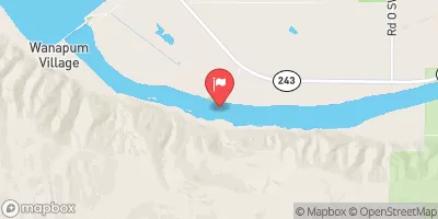
 Columbia River Below Priest Rapids Dam
|
134000cfs |
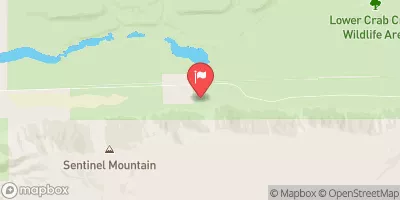
 Crab Creek Near Beverly
|
150cfs |
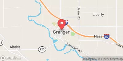
 Granger Drain At Granger
|
13cfs |
 Yakima River Above Ahtanum Creek At Union Gap
|
9070cfs |
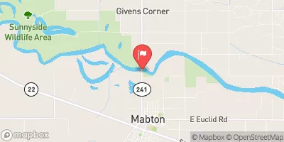
 Yakima River At Mabton
|
11700cfs |
 Ahtanum Creek At Union Gap
|
265cfs |
Dam Data Reference
Condition Assessment
SatisfactoryNo existing or potential dam safety deficiencies are recognized. Acceptable performance is expected under all loading conditions (static, hydrologic, seismic) in accordance with the minimum applicable state or federal regulatory criteria or tolerable risk guidelines.
Fair
No existing dam safety deficiencies are recognized for normal operating conditions. Rare or extreme hydrologic and/or seismic events may result in a dam safety deficiency. Risk may be in the range to take further action. Note: Rare or extreme event is defined by the regulatory agency based on their minimum
Poor A dam safety deficiency is recognized for normal operating conditions which may realistically occur. Remedial action is necessary. POOR may also be used when uncertainties exist as to critical analysis parameters which identify a potential dam safety deficiency. Investigations and studies are necessary.
Unsatisfactory
A dam safety deficiency is recognized that requires immediate or emergency remedial action for problem resolution.
Not Rated
The dam has not been inspected, is not under state or federal jurisdiction, or has been inspected but, for whatever reason, has not been rated.
Not Available
Dams for which the condition assessment is restricted to approved government users.
Hazard Potential Classification
HighDams assigned the high hazard potential classification are those where failure or mis-operation will probably cause loss of human life.
Significant
Dams assigned the significant hazard potential classification are those dams where failure or mis-operation results in no probable loss of human life but can cause economic loss, environment damage, disruption of lifeline facilities, or impact other concerns. Significant hazard potential classification dams are often located in predominantly rural or agricultural areas but could be in areas with population and significant infrastructure.
Low
Dams assigned the low hazard potential classification are those where failure or mis-operation results in no probable loss of human life and low economic and/or environmental losses. Losses are principally limited to the owner's property.
Undetermined
Dams for which a downstream hazard potential has not been designated or is not provided.
Not Available
Dams for which the downstream hazard potential is restricted to approved government users.

 Moran Slough Dike