North Reservoir Report
Last Updated: December 27, 2025
North is a federal dam located in Soap Lake, Washington, along the Upper Grand Coulee River.
°F
°F
mph
Wind
%
Humidity
Summary
Built in 1950 by the Bureau of Reclamation, it serves multiple purposes including flood risk reduction, hydroelectric power generation, irrigation, and navigation. The dam is of earth type with a height of 145 feet and a length of 1450 feet, providing a storage capacity of 1,275,000 acre-feet.
With a hazard potential classified as high and a risk assessment rating of 2, North is a crucial structure for water resource management in the region. Despite its age, the dam's condition assessment is not available, highlighting the need for regular inspections and maintenance to ensure its continued safety and functionality. The Emergency Action Plan (EAP) for North was last revised in June 2020, indicating preparedness for potential emergencies.
Managed by the Bureau of Reclamation, North plays a significant role in the water infrastructure of Grant County, Washington. With its strategic location and multiple functions, the dam underscores the importance of sustainable water resource management and adaptation to climate change in the region.
Year Completed |
1950 |
Dam Length |
1450 |
Dam Height |
145 |
River Or Stream |
UPPER GRAND COULEE RIVER |
Primary Dam Type |
Earth |
Surface Area |
27000 |
Hydraulic Height |
77 |
Drainage Area |
263 |
Nid Storage |
1275000 |
Structural Height |
145 |
Hazard Potential |
High |
Foundations |
Rock |
Nid Height |
145 |
Seasonal Comparison
Weather Forecast
Nearby Streamflow Levels
 Wilson Creek Below Corbett Draw Near Almira
|
0cfs |
 Omak Creek Near Omak
|
11cfs |
 Okanogan River At Malott
|
3630cfs |
 Crab Creek At Irby
|
2cfs |
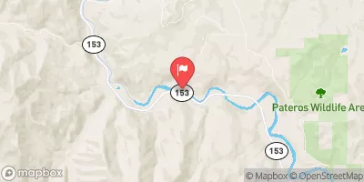 Methow River Near Pateros
|
2240cfs |
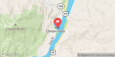 Chelan River At Chelan
|
1180cfs |
Dam Data Reference
Condition Assessment
SatisfactoryNo existing or potential dam safety deficiencies are recognized. Acceptable performance is expected under all loading conditions (static, hydrologic, seismic) in accordance with the minimum applicable state or federal regulatory criteria or tolerable risk guidelines.
Fair
No existing dam safety deficiencies are recognized for normal operating conditions. Rare or extreme hydrologic and/or seismic events may result in a dam safety deficiency. Risk may be in the range to take further action. Note: Rare or extreme event is defined by the regulatory agency based on their minimum
Poor A dam safety deficiency is recognized for normal operating conditions which may realistically occur. Remedial action is necessary. POOR may also be used when uncertainties exist as to critical analysis parameters which identify a potential dam safety deficiency. Investigations and studies are necessary.
Unsatisfactory
A dam safety deficiency is recognized that requires immediate or emergency remedial action for problem resolution.
Not Rated
The dam has not been inspected, is not under state or federal jurisdiction, or has been inspected but, for whatever reason, has not been rated.
Not Available
Dams for which the condition assessment is restricted to approved government users.
Hazard Potential Classification
HighDams assigned the high hazard potential classification are those where failure or mis-operation will probably cause loss of human life.
Significant
Dams assigned the significant hazard potential classification are those dams where failure or mis-operation results in no probable loss of human life but can cause economic loss, environment damage, disruption of lifeline facilities, or impact other concerns. Significant hazard potential classification dams are often located in predominantly rural or agricultural areas but could be in areas with population and significant infrastructure.
Low
Dams assigned the low hazard potential classification are those where failure or mis-operation results in no probable loss of human life and low economic and/or environmental losses. Losses are principally limited to the owner's property.
Undetermined
Dams for which a downstream hazard potential has not been designated or is not provided.
Not Available
Dams for which the downstream hazard potential is restricted to approved government users.

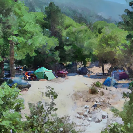 Spring Canyon Campground
 Spring Canyon - Lake Roosevelt National Rec Area
 Plum Point Campground
 Barker Canyon - WDFW
 Steamboat Rock State Park
 North
North
 Franklin Roosevelt Lake At Grand Coulee Dam