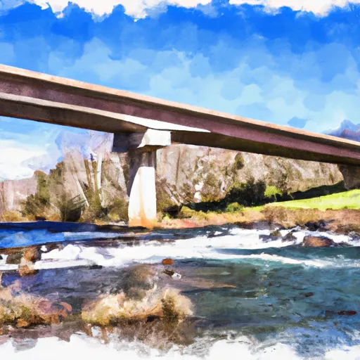
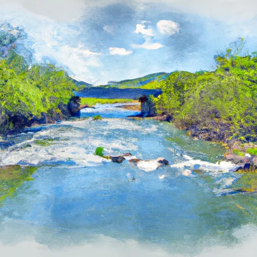
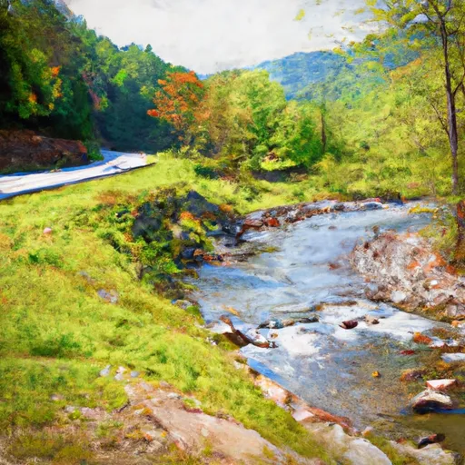
Dry Creek At Tuckahoe Reservoir
As of July 20, 2026, Dry Creek At Tuckahoe is holding 47 ft of water — 99% of normal storage for this date. Storage data refreshed throughout the day.

Dry Creek At Tuckahoe
Dry Creek is a stream located in Tuckahoe, WV in West Virginia. The stream runs for approximately 11 miles and is fed by several springs and smaller streams. The area around Dry Creek has a rich history, with evidence of Native American settlements and several historic buildings still standing. The hydrology of Dry Creek is heavily influenced by seasonal precipitation and snowpack, with snowmelt in the spring contributing significantly to the stream's flow. Agriculture is a major use of the land around Dry Creek, with several farms utilizing the fertile soil for crops and livestock. Recreational uses of the creek include fishing, swimming and kayaking, with the surrounding trails and forest providing opportunities for hiking and camping.
Daily levels at Dry Creek At Tuckahoe
Storage volume, pool elevation, and total release plotted from the operating agency's daily observations.
Gage height, ft
ft · code 00065
Plan around the weather
Same NOAA / yr.no feed Snoflo's iOS app uses. Watch the precipitation column on the meteogram -- rain on the basin upstream typically lifts inflow 24-72 hours later.
Next 5 days, hour by hour
Temperature line with weather symbols on top, snow + rain accumulation as columns, humidity as a dotted line.
5-day forecast table
Every 3 hours, broken out across temperature, snow, rain, humidity, and wind. Each cell is colour-coded relative to the column min/max.
| Time | Condition | Temp (°F) | Snow (in) | Rain (in) | Humidity (%) | Wind (mps) | Wind dir |
|---|---|---|---|---|---|---|---|
| Loading detailed forecast… | |||||||
15-day temperature & precipitation
Daily temperatures, snow, and rain projected over the next two weeks.
Nearby streamflow gauges
USGS streamgauges around Dry Creek At Tuckahoe -- inflows here typically show up in storage 24-72 hours later.
| Streamgauge | Discharge | View |
|---|---|---|
| Potts Creek Near Covington | 63 cfs | → |
| Dunlap Creek Near Covington | 34 cfs | → |
| Jackson River Bl Dunlap Creek At Covington | 296 cfs | → |
| Johns Creek At New Castle | 29 cfs | → |
| Greenbrier River At Alderson | 290 cfs | → |
| Craig Creek At Parr | 65 cfs | → |
Make a day of it
Boat launches, lakeside camping, fishing access, and other reservoirs near Dry Creek At Tuckahoe.
Boat launches
See all →


Campgrounds
See all →


Fishing spots
See all →
River runs
See all →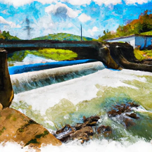


About Dry Creek At Tuckahoe
Where does the data for Dry Creek At Tuckahoe come from?
Daily storage, pool elevation, and release rates are sourced from USGS, USBR, and USACE monitoring stations. Weather forecast comes from NOAA / yr.no -- the same feed Snoflo's iOS app uses.
How often is the report updated?
Storage observations are updated daily by the operating agency. The 15-day weather forecast refreshes throughout the day. Snoflo caches and renders the most recent observation -- check the "as of" timestamp on the storage card.
What does the Hazard hazard rating mean?
The Corps of Engineers' hazard potential classification grades probable consequences if the dam fails: High = probable loss of human life; Significant = no probable loss of human life but possible economic loss / environmental damage; Low = no probable loss of human life, only minor economic / environmental losses. See the Dam Data Reference card below for the full definitions.
What's "% of normal"?
The current storage value compared to the historical average storage on this calendar day. 100% = right on average; values above 100% mean above-normal storage (wet year); values below mean below-normal (dry year or drought).
Can I get alerts when storage crosses a threshold?
Yes -- alerts are managed in the Snoflo iOS app. Favorite this reservoir, set a threshold, and you'll get a push the moment conditions cross.