Summary
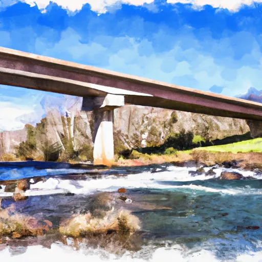
According to the latest information available, it is a concrete boat ramp that is approximately 20 feet wide. The ramp provides access to the James River, which is the primary body of water it services.
The James River is approximately 340 miles long and runs through Virginia, providing ample opportunities for water recreation. The Botetourt Road boat ramp is suitable for small boats and can accommodate boats up to 20 feet in length. Larger boats may have difficulty launching from this ramp.
The Virginia Department of Game and Inland Fisheries manages the Botetourt Road boat ramp and has provided the latest information regarding its facilities and services. Visitors should note that there is no fee to use the ramp, but they must obtain a valid Virginia fishing license if they plan to fish in the area.
Overall, the Botetourt Road boat ramp is a convenient and accessible location for boaters in Botetourt County. Its concrete construction and 20-foot width make it suitable for small boats, while the James River provides ample opportunities for water recreation.
°F
°F
mph
Wind
%
Humidity
15-Day Weather Outlook
5-Day Hourly Forecast Detail
Area Streamflow Levels
| CRAIG CREEK AT PARR | 95cfs |
| JAMES RIVER AT LICK RUN | 3890cfs |
| COWPASTURE RIVER NEAR CLIFTON FORGE | 133cfs |
| JAMES RIVER AT BUCHANAN | 6510cfs |
| POTTS CREEK NEAR COVINGTON | 29cfs |
| JACKSON RIVER BL DUNLAP CREEK AT COVINGTON | 1330cfs |

 Botetourt Road Botetourt County
 Segment A--Route 42 Bridge To Confluence With Jackson River