


Point Marion Lock And Dam Reservoir Report
Last Updated: April 27, 2026
Nearby: Crooked Run (Ft Martin) #3 Lake Lynn
°F
°F
mph
Wind
%
Humidity
Point Marion Lock and Dam, located on the Monongahela River in Pennsylvania, was completed in 1959 by the US Army Corps of Engineers.
Summary
This gravity dam with a multi-arch core stands at a structural height of 52 feet and serves primarily for navigation purposes. The dam has a spillway width of 420 feet and a controlled spillway type, with a maximum discharge capacity of 55,000 cubic feet per second.
With a hazard potential rated as significant, the dam is continuously monitored and managed by the US Army Corps of Engineers to address flood risks. Regular inspections and maintenance are conducted, and emergency action plans are regularly updated to ensure preparedness in case of a dam-related emergency. Despite the dam's limited storage capacity, measures are in place to manage water levels and relieve pressure to maintain its structural integrity during severe weather events.
Overall, Point Marion Lock and Dam plays a crucial role in managing water resources and climate-related challenges in the region. The dam serves as a vital infrastructure for navigation and flood risk management, demonstrating the importance of ongoing monitoring and maintenance to ensure its effectiveness in safeguarding the surrounding communities and environment.
Regional Streamflow Levels
 Dunkard Creek At Shannopin
|
153cfs |
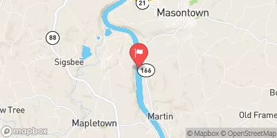 Monongahela River Near Masontown
|
3050cfs |
 Deckers Creek At Morgantown
|
82cfs |
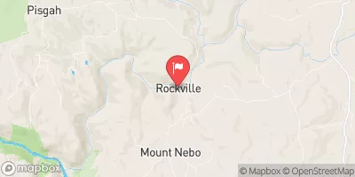 Big Sandy Creek At Rockville
|
294cfs |
 South Fork Tenmile Creek At Jefferson
|
76cfs |
 Redstone Creek At Waltersburg
|
85cfs |
15-Day Long Term Forecast
Year Completed |
1959 |
Dam Length |
638 |
River Or Stream |
MONONGAHELA RIVER |
Primary Dam Type |
Gravity |
Surface Area |
710 |
Length Of Locks |
360 |
Hydraulic Height |
35 |
Drainage Area |
2715 |
Nid Storage |
11500 |
Structural Height |
52 |
Outlet Gates |
Tainter (radial) - 6 |
Hazard Potential |
Significant |
Foundations |
Rock |
Nid Height |
52 |
Seasonal Comparison
5-Day Hourly Forecast Detail
Dam Data Reference
Condition Assessment
SatisfactoryNo existing or potential dam safety deficiencies are recognized. Acceptable performance is expected under all loading conditions (static, hydrologic, seismic) in accordance with the minimum applicable state or federal regulatory criteria or tolerable risk guidelines.
Fair
No existing dam safety deficiencies are recognized for normal operating conditions. Rare or extreme hydrologic and/or seismic events may result in a dam safety deficiency. Risk may be in the range to take further action. Note: Rare or extreme event is defined by the regulatory agency based on their minimum
Poor A dam safety deficiency is recognized for normal operating conditions which may realistically occur. Remedial action is necessary. POOR may also be used when uncertainties exist as to critical analysis parameters which identify a potential dam safety deficiency. Investigations and studies are necessary.
Unsatisfactory
A dam safety deficiency is recognized that requires immediate or emergency remedial action for problem resolution.
Not Rated
The dam has not been inspected, is not under state or federal jurisdiction, or has been inspected but, for whatever reason, has not been rated.
Not Available
Dams for which the condition assessment is restricted to approved government users.
Hazard Potential Classification
HighDams assigned the high hazard potential classification are those where failure or mis-operation will probably cause loss of human life.
Significant
Dams assigned the significant hazard potential classification are those dams where failure or mis-operation results in no probable loss of human life but can cause economic loss, environment damage, disruption of lifeline facilities, or impact other concerns. Significant hazard potential classification dams are often located in predominantly rural or agricultural areas but could be in areas with population and significant infrastructure.
Low
Dams assigned the low hazard potential classification are those where failure or mis-operation results in no probable loss of human life and low economic and/or environmental losses. Losses are principally limited to the owner's property.
Undetermined
Dams for which a downstream hazard potential has not been designated or is not provided.
Not Available
Dams for which the downstream hazard potential is restricted to approved government users.
Area Campgrounds
| Location | Reservations | Toilets |
|---|---|---|
 Chestnut Ridge Regional Park
|
||
 Coopers Rock State Forest
|
||
 Mason - Dixon Historical Park
|
 Point Marion