


J.T. Hirst Dam Reservoir Report
Last Updated: April 27, 2026
°F
°F
mph
Wind
%
Humidity
J.T.
Summary
Hirst Dam, also known as Purcellville Dam, is a key water supply structure located in Loudoun, Virginia, along the North Fork Catoctin Creek. Owned by the local government, this earth-type dam stands at a height of 34 feet and stretches 600 feet in length. With a maximum storage capacity of 155 acre-feet and a normal storage of 128 acre-feet, the dam covers a surface area of 8.6 acres and serves the primary purpose of water supply.
Managed by the Department of Conservation and Recreation in Virginia, J.T. Hirst Dam is regulated, permitted, inspected, and enforced by state authorities to ensure its safety and functionality. Despite being classified as having a significant hazard potential, the dam is assessed to be in fair condition as of January 2020. With a regular inspection frequency and emergency action plan preparations in place, the dam plays a crucial role in water resource management within the region. Climate and water resource enthusiasts can appreciate the importance of J.T. Hirst Dam in maintaining water supply infrastructure in Loudoun, Virginia, and its role in ensuring water security for the community.
Regional Streamflow Levels
15-Day Long Term Forecast
Dam Length |
600 |
Dam Height |
34 |
River Or Stream |
N Fork Catoctin Creek |
Primary Dam Type |
Earth |
Surface Area |
8.6 |
Hydraulic Height |
34 |
Drainage Area |
1.03 |
Nid Storage |
155 |
Structural Height |
34 |
Hazard Potential |
Significant |
Nid Height |
34 |
Seasonal Comparison
5-Day Hourly Forecast Detail
Dam Data Reference
Condition Assessment
SatisfactoryNo existing or potential dam safety deficiencies are recognized. Acceptable performance is expected under all loading conditions (static, hydrologic, seismic) in accordance with the minimum applicable state or federal regulatory criteria or tolerable risk guidelines.
Fair
No existing dam safety deficiencies are recognized for normal operating conditions. Rare or extreme hydrologic and/or seismic events may result in a dam safety deficiency. Risk may be in the range to take further action. Note: Rare or extreme event is defined by the regulatory agency based on their minimum
Poor A dam safety deficiency is recognized for normal operating conditions which may realistically occur. Remedial action is necessary. POOR may also be used when uncertainties exist as to critical analysis parameters which identify a potential dam safety deficiency. Investigations and studies are necessary.
Unsatisfactory
A dam safety deficiency is recognized that requires immediate or emergency remedial action for problem resolution.
Not Rated
The dam has not been inspected, is not under state or federal jurisdiction, or has been inspected but, for whatever reason, has not been rated.
Not Available
Dams for which the condition assessment is restricted to approved government users.
Hazard Potential Classification
HighDams assigned the high hazard potential classification are those where failure or mis-operation will probably cause loss of human life.
Significant
Dams assigned the significant hazard potential classification are those dams where failure or mis-operation results in no probable loss of human life but can cause economic loss, environment damage, disruption of lifeline facilities, or impact other concerns. Significant hazard potential classification dams are often located in predominantly rural or agricultural areas but could be in areas with population and significant infrastructure.
Low
Dams assigned the low hazard potential classification are those where failure or mis-operation results in no probable loss of human life and low economic and/or environmental losses. Losses are principally limited to the owner's property.
Undetermined
Dams for which a downstream hazard potential has not been designated or is not provided.
Not Available
Dams for which the downstream hazard potential is restricted to approved government users.
Area Campgrounds
| Location | Reservations | Toilets |
|---|---|---|
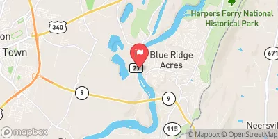
 4 Mile Campsite
|
||
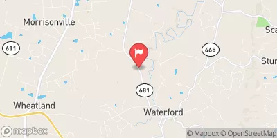
 Huckleberry Hill
|
||
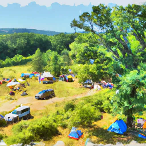 Huckleberry Hill Hiker-Biker Campsite
|
||
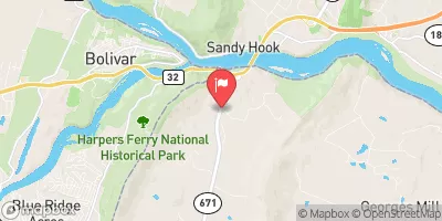
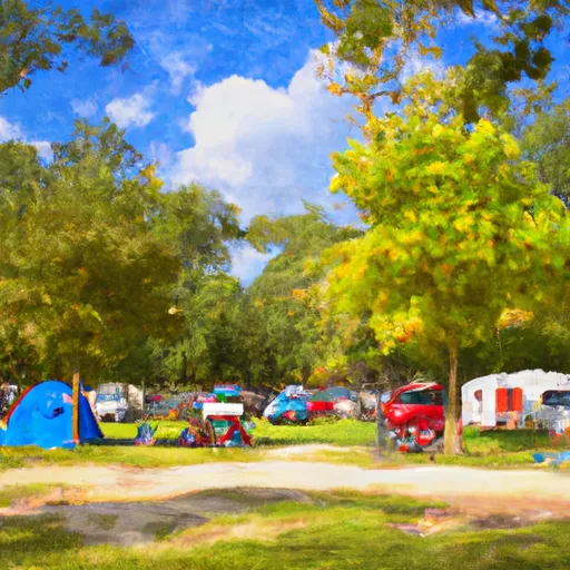 Brunswick City Campground
|
||
 Leave No Trace
|
||
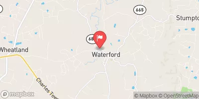
 Locust Grove
|
 Shannondale Springs Road 199, Jefferson County