
Stamp Dam Reservoir Report
Last Updated: January 11, 2026
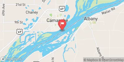
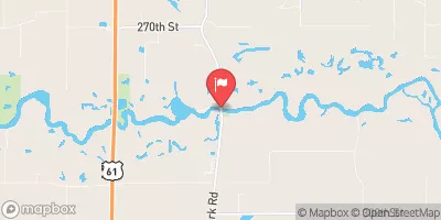
Stamp Dam, located in Jackson County, Iowa, is a privately owned structure designed by the USDA NRCS for fire protection, stock, or a small fish pond.
°F
°F
mph
Wind
%
Humidity
Summary
Completed in 1987, this earth dam stands at a height of 27 feet and stretches 250 feet in length, with a storage capacity of 56 acre-feet. The dam serves the primary purpose of providing fire protection and water storage in the area, making it a vital resource for the local community.
Despite its low hazard potential, Stamp Dam is subject to state regulation and inspection by the Iowa Department of Natural Resources. With a moderate risk assessment rating, the dam has not been officially rated for its condition, but it is considered to be in a satisfactory state. While there are no emergency action plans in place or inundation maps prepared, the dam's risk management measures are not specified. As a valuable asset for water resource management in the region, Stamp Dam plays a crucial role in maintaining water supply and supporting local agricultural activities.
Stamp Dam's location on TR- DUCK CR. near the Mississippi River underscores its importance in managing water resources for the surrounding area. Despite its modest size and functionality, the dam's significance lies in its role in providing essential services like fire protection and water storage. As climate change continues to impact water availability and quality, structures like Stamp Dam will play an increasingly vital role in ensuring the resilience of communities and ecosystems in the face of a changing climate.
Year Completed |
1987 |
Dam Length |
250 |
Dam Height |
27 |
River Or Stream |
TR- DUCK CR. |
Primary Dam Type |
Earth |
Surface Area |
3.4 |
Drainage Area |
0.26 |
Nid Storage |
56 |
Hazard Potential |
Low |
Foundations |
Soil |
Nid Height |
27 |
Seasonal Comparison
Weather Forecast
Nearby Streamflow Levels
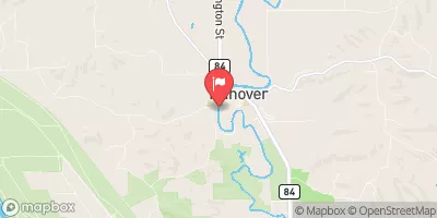 Apple River Near Hanover
|
110cfs |
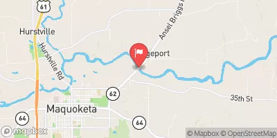 Maquoketa River Near Maquoketa
|
569cfs |
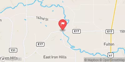 North Fork Maquoketa River Near Fulton
|
245cfs |
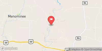 Sinsinawa River Near Menominee
|
19cfs |
 Mississippi River At Clinton
|
45300cfs |
 Wapsipinicon River Near De Witt
|
559cfs |
Dam Data Reference
Condition Assessment
SatisfactoryNo existing or potential dam safety deficiencies are recognized. Acceptable performance is expected under all loading conditions (static, hydrologic, seismic) in accordance with the minimum applicable state or federal regulatory criteria or tolerable risk guidelines.
Fair
No existing dam safety deficiencies are recognized for normal operating conditions. Rare or extreme hydrologic and/or seismic events may result in a dam safety deficiency. Risk may be in the range to take further action. Note: Rare or extreme event is defined by the regulatory agency based on their minimum
Poor A dam safety deficiency is recognized for normal operating conditions which may realistically occur. Remedial action is necessary. POOR may also be used when uncertainties exist as to critical analysis parameters which identify a potential dam safety deficiency. Investigations and studies are necessary.
Unsatisfactory
A dam safety deficiency is recognized that requires immediate or emergency remedial action for problem resolution.
Not Rated
The dam has not been inspected, is not under state or federal jurisdiction, or has been inspected but, for whatever reason, has not been rated.
Not Available
Dams for which the condition assessment is restricted to approved government users.
Hazard Potential Classification
HighDams assigned the high hazard potential classification are those where failure or mis-operation will probably cause loss of human life.
Significant
Dams assigned the significant hazard potential classification are those dams where failure or mis-operation results in no probable loss of human life but can cause economic loss, environment damage, disruption of lifeline facilities, or impact other concerns. Significant hazard potential classification dams are often located in predominantly rural or agricultural areas but could be in areas with population and significant infrastructure.
Low
Dams assigned the low hazard potential classification are those where failure or mis-operation results in no probable loss of human life and low economic and/or environmental losses. Losses are principally limited to the owner's property.
Undetermined
Dams for which a downstream hazard potential has not been designated or is not provided.
Not Available
Dams for which the downstream hazard potential is restricted to approved government users.
 Bellevue State Park
 Bellevue State Park Campground - Dyas Unit
 Duck Creek County Park
 Pleasant Creek Campground
 Spruce Creek County Park Campground
 Spruce Creek County Park
 Stamp Dam
 Great River Road Jackson County