Lake Monona At Madison Reservoir Report
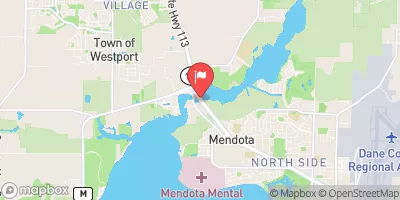
Nearby: Mendota Locks Lake Waubesa
Last Updated: February 23, 2026
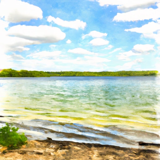
Lake Monona is located in Madison, Wisconsin and is the second-largest of the Yahara Chain of five lakes.
Summary
The lake has a rich history, dating back to the early 1800s when it was used as a transportation route for fur traders. Today, the lake is primarily used for recreational purposes, including boating, fishing, and swimming. As far as hydrology is concerned, Lake Monona receives water from several sources, including Yahara River, Wingra Creek, and Starkweather Creek. The snowpack in the winter and spring also contributes to the water levels in the lake. The lake's agricultural uses include farming and dairy production in the surrounding area, which can lead to nutrient runoff that can impact water quality. Despite these challenges, Lake Monona remains a popular destination for both visitors and locals alike.
°F
°F
mph
Wind
%
Humidity
15-Day Weather Outlook
Reservoir Details
| Gage Height, Ft 24hr Change | -0.82% |
| Percent of Normal | 83% |
| Minimum |
2.66 ft
2024-07-01 |
| Maximum |
8.53 ft
2018-09-06 |
| Average | 4 ft |
| Dam_Height | 8 |
| Hydraulic_Height | 3 |
| Drainage_Area | 6 |
| Years_Modified | 2009 - Other |
| Year_Completed | 1930 |
| Nid_Storage | 2600 |
| Structural_Height | 8 |
| River_Or_Stream | MURPHY'S CREEK |
| Surface_Area | 345 |
| Hazard_Potential | Low |
| Dam_Length | 25 |
| Primary_Dam_Type | Gravity |
| Nid_Height | 8 |
Seasonal Comparison
Temperature, Water, °C Levels
Gage Height, Ft Levels
5-Day Hourly Forecast Detail
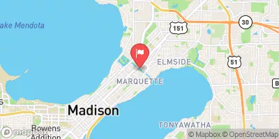
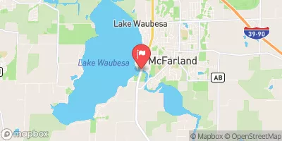
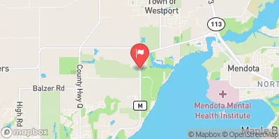
Nearby Streamflow Levels
Dam Data Reference
Condition Assessment
SatisfactoryNo existing or potential dam safety deficiencies are recognized. Acceptable performance is expected under all loading conditions (static, hydrologic, seismic) in accordance with the minimum applicable state or federal regulatory criteria or tolerable risk guidelines.
Fair
No existing dam safety deficiencies are recognized for normal operating conditions. Rare or extreme hydrologic and/or seismic events may result in a dam safety deficiency. Risk may be in the range to take further action. Note: Rare or extreme event is defined by the regulatory agency based on their minimum
Poor A dam safety deficiency is recognized for normal operating conditions which may realistically occur. Remedial action is necessary. POOR may also be used when uncertainties exist as to critical analysis parameters which identify a potential dam safety deficiency. Investigations and studies are necessary.
Unsatisfactory
A dam safety deficiency is recognized that requires immediate or emergency remedial action for problem resolution.
Not Rated
The dam has not been inspected, is not under state or federal jurisdiction, or has been inspected but, for whatever reason, has not been rated.
Not Available
Dams for which the condition assessment is restricted to approved government users.
Hazard Potential Classification
HighDams assigned the high hazard potential classification are those where failure or mis-operation will probably cause loss of human life.
Significant
Dams assigned the significant hazard potential classification are those dams where failure or mis-operation results in no probable loss of human life but can cause economic loss, environment damage, disruption of lifeline facilities, or impact other concerns. Significant hazard potential classification dams are often located in predominantly rural or agricultural areas but could be in areas with population and significant infrastructure.
Low
Dams assigned the low hazard potential classification are those where failure or mis-operation results in no probable loss of human life and low economic and/or environmental losses. Losses are principally limited to the owner's property.
Undetermined
Dams for which a downstream hazard potential has not been designated or is not provided.
Not Available
Dams for which the downstream hazard potential is restricted to approved government users.
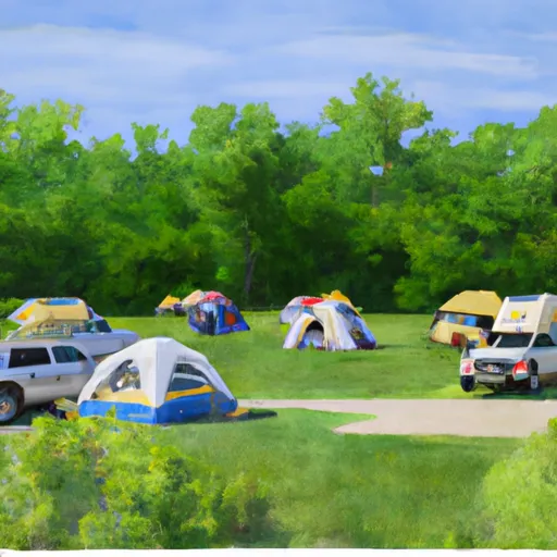
Area Campgrounds
| Location | Reservations | Toilets |
|---|---|---|
 Babcock County Park Campground
|
||
 Badger Prairie Park DCA
|
||
 Token Creek County Park
|

 Lake Wingra
 Lake Monona At Madison
 Lake Mendota At Madison
 Lake Waubesa At Mc Farland
 Brittingham Park Path Madison