


Harmon Wetland Reservoir Report
Last Updated: April 29, 2026
Nearby: Huer F Pond Irons Pool
°F
°F
mph
Wind
%
Humidity
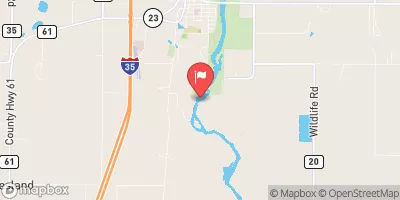
Harmon Wetland, located in Pine County, Minnesota, is a private wetland managed by the USDA NRCS.
Summary
Designated as a state-regulated area under the jurisdiction of the Minnesota Department of Natural Resources, this wetland serves a critical role in water resource management and climate resilience. The dam within the wetland, completed in 1967, stands at a height of 12 feet and spans a length of 280 feet, with a primary purpose of supporting various conservation efforts.
With a low hazard potential and satisfactory condition assessment, Harmon Wetland provides a safe and effective resource for water storage, with a maximum storage capacity of 275 acre-feet. The wetland covers a drainage area of 2.8 square miles and plays a key role in managing flood risk and maintaining water quality in the Little Sand Creek watershed. The wetland's design, construction, and regulatory oversight ensure its ongoing contribution to environmental protection and sustainable water management practices in the region.
Regional Streamflow Levels
 Kettle River Below Sandstone
|
2940cfs |
 Snake River Near Pine City
|
1320cfs |
 St. Croix River Near Danbury
|
4170cfs |
 St. Croix River At St. Croix Falls
|
11400cfs |
 St. Louis River At Scanlon
|
13400cfs |
 Nemadji River Near South Superior
|
4910cfs |
15-Day Long Term Forecast
Year Completed |
1967 |
Dam Length |
280 |
Dam Height |
7 |
River Or Stream |
LITTLE SAND CREEK-TR |
Primary Dam Type |
Earth |
Drainage Area |
2.8 |
Nid Storage |
275 |
Structural Height |
12 |
Outlet Gates |
Uncontrolled |
Hazard Potential |
Low |
Foundations |
Unlisted/Unknown |
Nid Height |
12 |
Seasonal Comparison
5-Day Hourly Forecast Detail
Dam Data Reference
Condition Assessment
SatisfactoryNo existing or potential dam safety deficiencies are recognized. Acceptable performance is expected under all loading conditions (static, hydrologic, seismic) in accordance with the minimum applicable state or federal regulatory criteria or tolerable risk guidelines.
Fair
No existing dam safety deficiencies are recognized for normal operating conditions. Rare or extreme hydrologic and/or seismic events may result in a dam safety deficiency. Risk may be in the range to take further action. Note: Rare or extreme event is defined by the regulatory agency based on their minimum
Poor A dam safety deficiency is recognized for normal operating conditions which may realistically occur. Remedial action is necessary. POOR may also be used when uncertainties exist as to critical analysis parameters which identify a potential dam safety deficiency. Investigations and studies are necessary.
Unsatisfactory
A dam safety deficiency is recognized that requires immediate or emergency remedial action for problem resolution.
Not Rated
The dam has not been inspected, is not under state or federal jurisdiction, or has been inspected but, for whatever reason, has not been rated.
Not Available
Dams for which the condition assessment is restricted to approved government users.
Hazard Potential Classification
HighDams assigned the high hazard potential classification are those where failure or mis-operation will probably cause loss of human life.
Significant
Dams assigned the significant hazard potential classification are those dams where failure or mis-operation results in no probable loss of human life but can cause economic loss, environment damage, disruption of lifeline facilities, or impact other concerns. Significant hazard potential classification dams are often located in predominantly rural or agricultural areas but could be in areas with population and significant infrastructure.
Low
Dams assigned the low hazard potential classification are those where failure or mis-operation results in no probable loss of human life and low economic and/or environmental losses. Losses are principally limited to the owner's property.
Undetermined
Dams for which a downstream hazard potential has not been designated or is not provided.
Not Available
Dams for which the downstream hazard potential is restricted to approved government users.
 Sand Creek
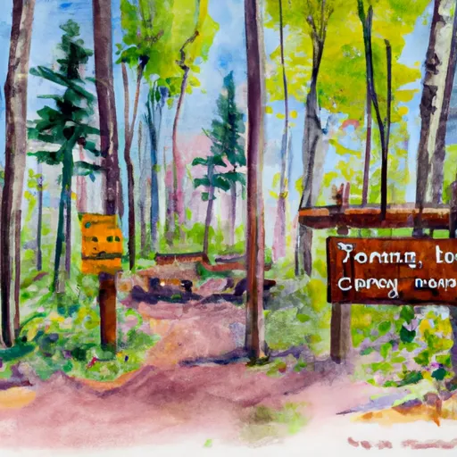 Logging Trail
 Paint Rock Springs - St. Croix State Park
 St Croix State Park
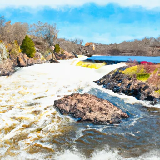
 Paint Rock Spring
 Norway Point Landing - St. Croix National Scenic River
 The Site Of Old Sandstone Hydroelectric Dam To The Confluence With St. Croix River