


Gudaitis Lake Dam Reservoir Report
Last Updated: May 3, 2026
Nearby: Palmer Mine Dam Podorski Lake Dam
°F
°F
mph
Wind
%
Humidity
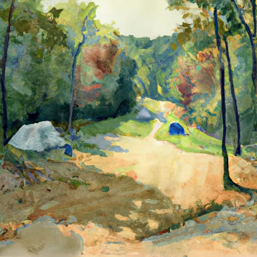
Gudaitis Lake Dam, located in Irondale, Missouri, is a privately owned Earth dam that was completed in 1967 for the primary purpose of recreation.
Summary
With a structural height of 25 feet and a storage capacity of 158 acre-feet, the dam provides a tranquil setting for outdoor enthusiasts to enjoy water activities in the 6-acre surface area of Gudaitis Lake. The dam is situated on TR-Clear Creek, within the jurisdiction of the Kansas City District of the US Army Corps of Engineers.
Despite its recreational benefits, Gudaitis Lake Dam has a high hazard potential and has not been rated for its condition assessment since its last inspection in 1980. The dam does not currently meet state regulatory requirements for inspection, permitting, or enforcement. Its Emergency Action Plan (EAP) status is unclear, and there is limited information available on risk assessment and management measures associated with the dam. It is important for water resource and climate enthusiasts to monitor the safety and maintenance of Gudaitis Lake Dam to ensure the protection of both the environment and public safety in the area.
As a beloved destination for outdoor activities in Washington County, Missouri, Gudaitis Lake Dam serves as a reminder of the importance of dam safety and maintenance in preserving water resources for future generations. With its picturesque setting and potential risks, the dam presents a unique opportunity for collaboration between private ownership, state agencies, and the community to prioritize safety, environmental stewardship, and sustainable water management practices. Continued monitoring and investment in the upkeep of Gudaitis Lake Dam will help ensure its longevity as a valuable recreational asset while safeguarding against potential hazards and environmental impacts.
Regional Streamflow Levels
 Big River At Irondale
|
315cfs |
 East Fork Black River Nr Lesterville
|
32cfs |
 Big River Below Desloge
|
367cfs |
 East Fork Black River At Lesterville
|
44cfs |
 Big River Near Richwoods
|
882cfs |
 Meramec River Near Sullivan
|
1770cfs |
15-Day Long Term Forecast
Year Completed |
1967 |
Dam Height |
25 |
River Or Stream |
TR-CLEAR CREEK |
Primary Dam Type |
Earth |
Surface Area |
6 |
Drainage Area |
120 |
Nid Storage |
158 |
Structural Height |
25 |
Hazard Potential |
High |
Foundations |
Unlisted/Unknown |
Nid Height |
25 |
Seasonal Comparison
5-Day Hourly Forecast Detail
Dam Data Reference
Condition Assessment
SatisfactoryNo existing or potential dam safety deficiencies are recognized. Acceptable performance is expected under all loading conditions (static, hydrologic, seismic) in accordance with the minimum applicable state or federal regulatory criteria or tolerable risk guidelines.
Fair
No existing dam safety deficiencies are recognized for normal operating conditions. Rare or extreme hydrologic and/or seismic events may result in a dam safety deficiency. Risk may be in the range to take further action. Note: Rare or extreme event is defined by the regulatory agency based on their minimum
Poor A dam safety deficiency is recognized for normal operating conditions which may realistically occur. Remedial action is necessary. POOR may also be used when uncertainties exist as to critical analysis parameters which identify a potential dam safety deficiency. Investigations and studies are necessary.
Unsatisfactory
A dam safety deficiency is recognized that requires immediate or emergency remedial action for problem resolution.
Not Rated
The dam has not been inspected, is not under state or federal jurisdiction, or has been inspected but, for whatever reason, has not been rated.
Not Available
Dams for which the condition assessment is restricted to approved government users.
Hazard Potential Classification
HighDams assigned the high hazard potential classification are those where failure or mis-operation will probably cause loss of human life.
Significant
Dams assigned the significant hazard potential classification are those dams where failure or mis-operation results in no probable loss of human life but can cause economic loss, environment damage, disruption of lifeline facilities, or impact other concerns. Significant hazard potential classification dams are often located in predominantly rural or agricultural areas but could be in areas with population and significant infrastructure.
Low
Dams assigned the low hazard potential classification are those where failure or mis-operation results in no probable loss of human life and low economic and/or environmental losses. Losses are principally limited to the owner's property.
Undetermined
Dams for which a downstream hazard potential has not been designated or is not provided.
Not Available
Dams for which the downstream hazard potential is restricted to approved government users.
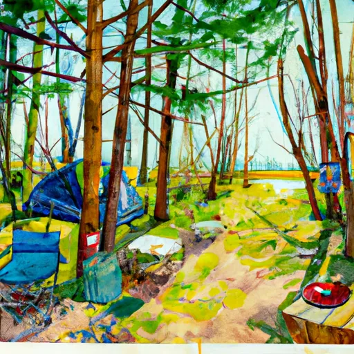
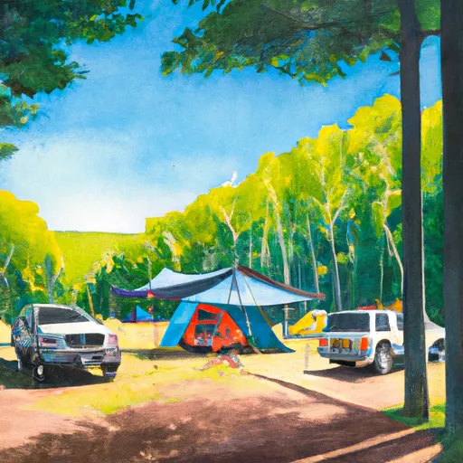
Area Campgrounds
| Location | Reservations | Toilets |
|---|---|---|
 Council Bluff - Wild Boar Ridge
|
||
 Council Bluff Recreation Area
|
||
 Hazel Creek Campground
|
||
 Hazel Creek
|
||
 Panther Branch
|
||
 Berryman Campground
|
 Clearwater Lake Near Piedmont
 Council Bluff Lake Trail Washington County
River Runs
-
 State Highway 49 Bridge Near Dillard, Missouri To Forest Boundary In Sections 13/24, T38N, R3W
-
 Forest Boundary At North Section Line Of Sec 4, T33N, R5E To Forest Boundary At South Section Line Of Sec 35, T32N, R5E
-
 Markam Spring Recreation Area To Nf Boundary
-
 Confluence With Alley Spring (Branch) To Confluence With Current River (Does Not Include River Segment In Gap Between Parkland Units)
 Parole Lake
 Timberline Lake
 Huzzah Ponds
 Crane Lake Recreation Area