Blue Hills Reservoir Report
Nearby: Tainter Deer Creek
Last Updated: February 23, 2026
Blue Hills, also known as Hill Trail Flowage, is a locally owned dam located in Rusk, Wisconsin.
Summary
Completed in 1973, this earth dam stands at a height of 13 feet and has a hydraulic height of 8.6 feet. With a storage capacity of 250 acre-feet and a surface area of 42 acres, Blue Hills serves a primary purpose of 'Other' and is regulated by the Wisconsin Department of Natural Resources.
Despite its low hazard potential, Blue Hills is considered to have a very high risk due to its location on the TR BIG WEIRGOR river. The dam has a controlled spillway with a width of 26 feet and a maximum discharge capacity of 50 cubic feet per second. While the dam's condition assessment is currently 'Not Rated', it undergoes inspections every 10 years, with the last inspection conducted in June 2003.
Water resource and climate enthusiasts will appreciate the unique characteristics of Blue Hills, from its modest height of 13 feet to the picturesque surroundings of Rusk County, Wisconsin. As a locally owned structure with a relatively low hazard potential, the dam provides important flood control and water storage benefits while being closely monitored and regulated by the state. Despite its risk assessment indicating a very high level of risk, ongoing inspections and management measures ensure the safety and integrity of Blue Hills for the surrounding community and ecosystem.
°F
°F
mph
Wind
%
Humidity
15-Day Weather Outlook
Year Completed |
1973 |
Dam Length |
250 |
Dam Height |
13 |
River Or Stream |
TR BIG WEIRGOR |
Primary Dam Type |
Earth |
Surface Area |
42 |
Hydraulic Height |
8.6 |
Drainage Area |
3 |
Nid Storage |
250 |
Structural Height |
13 |
Hazard Potential |
Low |
Nid Height |
13 |
Seasonal Comparison
5-Day Hourly Forecast Detail
Nearby Streamflow Levels
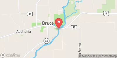
 Chippewa River Near Bruce
|
668cfs |
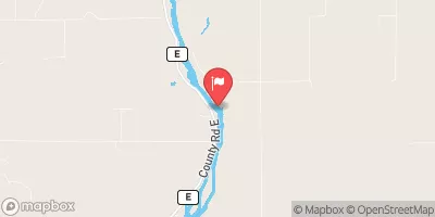
 Flambeau River Near Bruce
|
1120cfs |
 Chippewa River At Bishops Bridge Near Winter
|
176cfs |
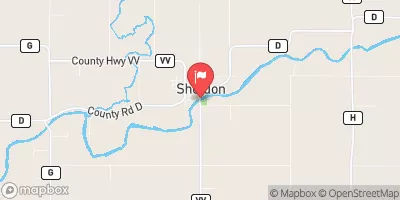
 Jump River At Sheldon
|
155cfs |
 Red Cedar River Near Colfax
|
593cfs |
 Namekagon River At Leonards
|
66cfs |
Dam Data Reference
Condition Assessment
SatisfactoryNo existing or potential dam safety deficiencies are recognized. Acceptable performance is expected under all loading conditions (static, hydrologic, seismic) in accordance with the minimum applicable state or federal regulatory criteria or tolerable risk guidelines.
Fair
No existing dam safety deficiencies are recognized for normal operating conditions. Rare or extreme hydrologic and/or seismic events may result in a dam safety deficiency. Risk may be in the range to take further action. Note: Rare or extreme event is defined by the regulatory agency based on their minimum
Poor A dam safety deficiency is recognized for normal operating conditions which may realistically occur. Remedial action is necessary. POOR may also be used when uncertainties exist as to critical analysis parameters which identify a potential dam safety deficiency. Investigations and studies are necessary.
Unsatisfactory
A dam safety deficiency is recognized that requires immediate or emergency remedial action for problem resolution.
Not Rated
The dam has not been inspected, is not under state or federal jurisdiction, or has been inspected but, for whatever reason, has not been rated.
Not Available
Dams for which the condition assessment is restricted to approved government users.
Hazard Potential Classification
HighDams assigned the high hazard potential classification are those where failure or mis-operation will probably cause loss of human life.
Significant
Dams assigned the significant hazard potential classification are those dams where failure or mis-operation results in no probable loss of human life but can cause economic loss, environment damage, disruption of lifeline facilities, or impact other concerns. Significant hazard potential classification dams are often located in predominantly rural or agricultural areas but could be in areas with population and significant infrastructure.
Low
Dams assigned the low hazard potential classification are those where failure or mis-operation results in no probable loss of human life and low economic and/or environmental losses. Losses are principally limited to the owner's property.
Undetermined
Dams for which a downstream hazard potential has not been designated or is not provided.
Not Available
Dams for which the downstream hazard potential is restricted to approved government users.
Area Campgrounds
| Location | Reservations | Toilets |
|---|---|---|
 Audie Lake County Park
|
||
 Murphy Flowage Park
|
||
 Bruce Village Park
|
||
 Swan Creek Park
|
||
 Doolittle Park
|
||
 Doolittle Park Campground
|

 Blue Hills
 Audie Lake -- Boat Launch