Mondeaux Dam Dam

Mondeaux Dam
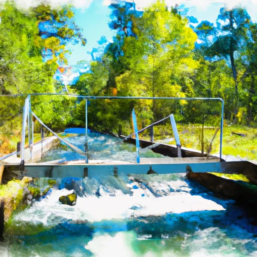
Mondeaux Dam, located in Taylor County, Wisconsin, is a concrete gravity dam built in 1937 by the USDA Forest Service. With a primary purpose of serving as a fish and wildlife pond, the dam also offers recreational opportunities in the area. The dam spans 265 feet in length and stands at a height of 15 feet, holding a normal storage capacity of 1928 acre-feet and a maximum storage of 8000 acre-feet.
Situated on the Mondeaux River, the dam plays a crucial role in managing water resources and supporting the local ecosystem. With a significant hazard potential and moderate risk assessment, the dam's condition is currently not rated and has not been inspected since October 2018. Despite its age, Mondeaux Dam continues to serve as an important structure for water management and wildlife conservation in the region, showcasing the dedication of the Forest Service in maintaining and operating this vital infrastructure.
Water resource and climate enthusiasts will appreciate the historical significance and ecological impact of Mondeaux Dam, as it continues to provide essential support for fish and wildlife while offering recreational opportunities for visitors. With a rich history dating back to the 1930s, the dam stands as a testament to sustainable water management practices and the importance of preserving natural habitats. As efforts to assess and manage the dam's condition and risk continue, the Forest Service remains committed to ensuring the safety and functionality of this critical infrastructure for years to come.
Plan around the weather
Same NOAA / yr.no feed Snoflo's iOS app uses. Watch the precipitation column on the meteogram -- rain on the basin upstream typically lifts inflow 24-72 hours later.
Next 5 days, hour by hour
Temperature line with weather symbols on top, snow + rain accumulation as columns, humidity as a dotted line.
5-day forecast table
Every 3 hours, broken out across temperature, snow, rain, humidity, and wind. Each cell is colour-coded relative to the column min/max.
| Time | Condition | Temp (°F) | Snow (in) | Rain (in) | Humidity (%) | Wind (mps) | Wind dir |
|---|---|---|---|---|---|---|---|
| Loading detailed forecast… | |||||||
15-day temperature & precipitation
Daily temperatures, snow, and rain projected over the next two weeks.
Nearby streamflow gauges
USGS streamgauges around Mondeaux Dam -- inflows here typically show up in storage 24-72 hours later.
| Streamgauge | Discharge | View |
|---|---|---|
| Spirit River At Spirit Falls | 6 cfs | → |
| Jump River At Sheldon | 53 cfs | → |
| Rib River At Rib Falls | 33 cfs | → |
| Flambeau River Near Bruce | 626 cfs | → |
| Wisconsin River At Merrill | 1,320 cfs | → |
| Prairie River Near Merrill | 102 cfs | → |


About Mondeaux Dam
Where does the data for Mondeaux Dam come from?
Structural and regulatory data come from the U.S. Army Corps of Engineers' National Inventory of Dams (NID). Weather forecast comes from NOAA / yr.no -- the same feed Snoflo's iOS app uses.
How often is the report updated?
NID structural data refreshes annually as the Corps publishes updated assessments. The weather forecast refreshes throughout the day.
What does the Significant hazard rating mean?
The Corps of Engineers' hazard potential classification grades probable consequences if the dam fails: High = probable loss of human life; Significant = no probable loss of human life but possible economic loss / environmental damage; Low = no probable loss of human life, only minor economic / environmental losses. See the Dam Data Reference card below for the full definitions.
What's "% of normal"?
The current storage value compared to the historical average storage on this calendar day. 100% = right on average; values above 100% mean above-normal storage (wet year); values below mean below-normal (dry year or drought).
Can I get alerts when storage crosses a threshold?
Yes -- alerts are managed in the Snoflo iOS app. Favorite this dam, set a threshold, and you'll get a push the moment conditions cross.
Dam data reference
Condition Assessment
- Satisfactory
- No existing or potential dam safety deficiencies are recognized. Acceptable performance is expected under all loading conditions (static, hydrologic, seismic) in accordance with the minimum applicable state or federal regulatory criteria or tolerable risk guidelines.
- Fair
- No existing dam safety deficiencies are recognized for normal operating conditions. Rare or extreme hydrologic and/or seismic events may result in a dam safety deficiency. Risk may be in the range to take further action.
- Poor
- A dam safety deficiency is recognized for normal operating conditions which may realistically occur. Remedial action is necessary. POOR may also be used when uncertainties exist as to critical analysis parameters which identify a potential dam safety deficiency.
- Unsatisfactory
- A dam safety deficiency is recognized that requires immediate or emergency remedial action for problem resolution.
- Not Rated
- The dam has not been inspected, is not under state or federal jurisdiction, or has been inspected but, for whatever reason, has not been rated.
Hazard Potential Classification
- High
- Dams assigned the high hazard potential classification are those where failure or mis-operation will probably cause loss of human life.
- Significant
- Dams assigned the significant hazard potential classification are those dams where failure or mis-operation results in no probable loss of human life but can cause economic loss, environmental damage, disruption of lifeline facilities, or impact other concerns. Significant hazard potential classification dams are often located in predominantly rural or agricultural areas but could be in areas with population and significant infrastructure.
- Low
- Dams assigned the low hazard potential classification are those where failure or mis-operation results in no probable loss of human life and low economic and/or environmental losses. Losses are principally limited to the owner's property.
- Undetermined
- Dams for which a downstream hazard potential has not been designated or is not provided.