Brule Reservoir Report
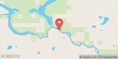
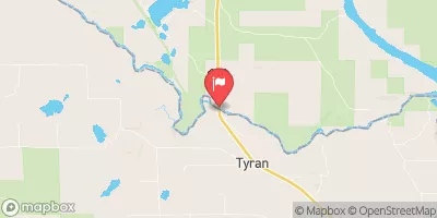
Nearby: Brule Brule Remote Dike
Last Updated: February 21, 2026
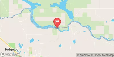
Brule, also known as Brule Island, is a private hydroelectric dam located in Iron, Michigan along the Brule River.
Summary
Completed in 1919, this gravity dam stands at a height of 75 feet and has a hydraulic height of 63 feet, providing a storage capacity of 6600 acre-feet with a drainage area of 1060 square miles. The dam serves multiple purposes including hydroelectric power generation and recreation, with a maximum discharge capacity of 23000 cubic feet per second.
Despite its age, the dam at Brule remains in high hazard potential due to its condition not being rated. However, emergency action plans have been prepared and updated periodically to ensure the safety of residents in the area. The risk assessment for Brule rates it as very high, with risk management measures in place to mitigate potential threats. Controlled spillways and a surface area of 297 acres contribute to the operational efficiency of the dam, providing vital services to the surrounding community while also posing challenges that require continuous monitoring and maintenance.
°F
°F
mph
Wind
%
Humidity
15-Day Weather Outlook
Year Completed |
1919 |
Dam Length |
400 |
Dam Height |
75 |
River Or Stream |
BRULE |
Primary Dam Type |
Gravity |
Surface Area |
297 |
Hydraulic Height |
63 |
Drainage Area |
1060 |
Nid Storage |
6600 |
Structural Height |
75 |
Hazard Potential |
High |
Nid Height |
75 |
Seasonal Comparison
5-Day Hourly Forecast Detail
Nearby Streamflow Levels
Dam Data Reference
Condition Assessment
SatisfactoryNo existing or potential dam safety deficiencies are recognized. Acceptable performance is expected under all loading conditions (static, hydrologic, seismic) in accordance with the minimum applicable state or federal regulatory criteria or tolerable risk guidelines.
Fair
No existing dam safety deficiencies are recognized for normal operating conditions. Rare or extreme hydrologic and/or seismic events may result in a dam safety deficiency. Risk may be in the range to take further action. Note: Rare or extreme event is defined by the regulatory agency based on their minimum
Poor A dam safety deficiency is recognized for normal operating conditions which may realistically occur. Remedial action is necessary. POOR may also be used when uncertainties exist as to critical analysis parameters which identify a potential dam safety deficiency. Investigations and studies are necessary.
Unsatisfactory
A dam safety deficiency is recognized that requires immediate or emergency remedial action for problem resolution.
Not Rated
The dam has not been inspected, is not under state or federal jurisdiction, or has been inspected but, for whatever reason, has not been rated.
Not Available
Dams for which the condition assessment is restricted to approved government users.
Hazard Potential Classification
HighDams assigned the high hazard potential classification are those where failure or mis-operation will probably cause loss of human life.
Significant
Dams assigned the significant hazard potential classification are those dams where failure or mis-operation results in no probable loss of human life but can cause economic loss, environment damage, disruption of lifeline facilities, or impact other concerns. Significant hazard potential classification dams are often located in predominantly rural or agricultural areas but could be in areas with population and significant infrastructure.
Low
Dams assigned the low hazard potential classification are those where failure or mis-operation results in no probable loss of human life and low economic and/or environmental losses. Losses are principally limited to the owner's property.
Undetermined
Dams for which a downstream hazard potential has not been designated or is not provided.
Not Available
Dams for which the downstream hazard potential is restricted to approved government users.
Area Campgrounds
| Location | Reservations | Toilets |
|---|---|---|
 Glidden Lake State Forest Campground
|
||
 River Bends Campground
|
||
 Summer Breeze Campground
|
||
 Paint River Hills Campground
|

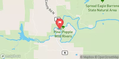
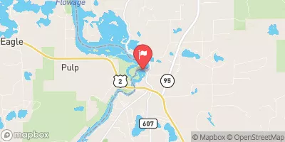
 Brule
Brule
 Brule River/Menominee River -- Access
 Brule Lake In Ne1/4 Sec 15, T41N, R13E To Forest Boundary In Se1/4 Sec 31, T41N, R17E