


Stateline Reservoir Report
Last Updated: May 5, 2026
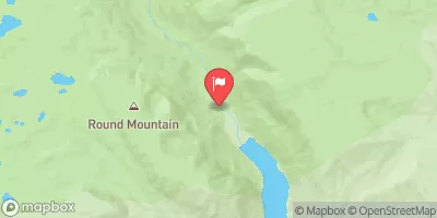
Nearby: Stateline Dike A Stateline Dike B
°F
°F
mph
Wind
%
Humidity
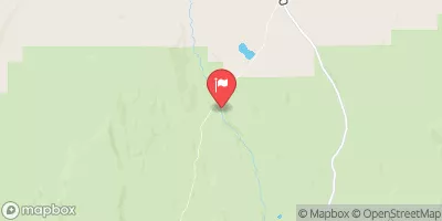
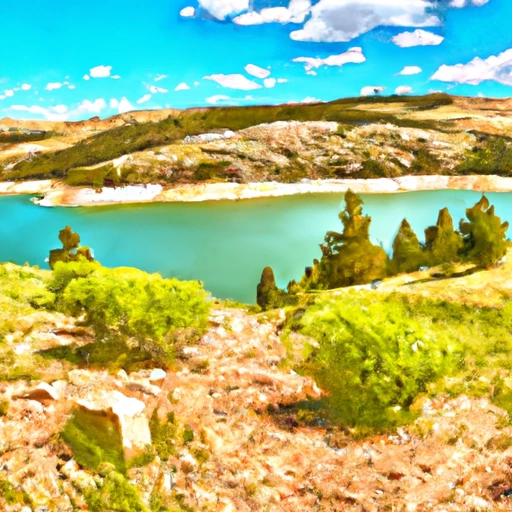
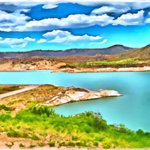
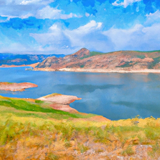
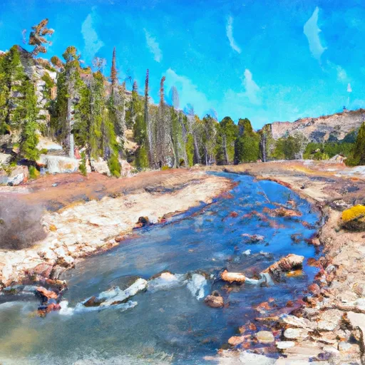
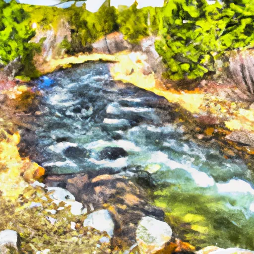
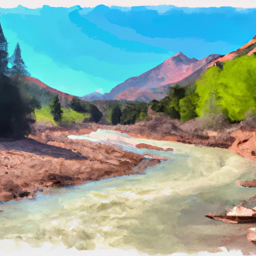
Stateline, a federal-owned irrigation structure located in Summit County, Utah, serves as a crucial water resource along the East Fork Smiths Fork river.
Summary
Built in 1979 by the Bureau of Reclamation, Stateline stands at a structural height of 148 feet and has a maximum storage capacity of 15,932 acre-feet, providing water for irrigation purposes in the region. With a high hazard potential and moderate risk assessment, this earth dam plays a vital role in managing water resources in the area.
Managed and operated by the Bureau of Reclamation, Stateline's primary purpose is to support irrigation activities in the region, with a normal storage capacity of 14,020 acre-feet. Despite being uncontrolled, the dam has a maximum discharge capacity of 400 cubic feet per second. With its strategic location in Robertson, Utah, and its significant impact on the local water supply, Stateline stands as a testament to the importance of efficient water resource management and infrastructure development in mitigating the effects of climate change and ensuring sustainable water usage for agricultural activities in the region.
Regional Streamflow Levels
15-Day Long Term Forecast
Year Completed |
1979 |
Dam Length |
2870 |
River Or Stream |
E. FORK SMITHS FORK |
Primary Dam Type |
Earth |
Surface Area |
306 |
Hydraulic Height |
121 |
Drainage Area |
49 |
Nid Storage |
15932 |
Structural Height |
148 |
Hazard Potential |
High |
Nid Height |
148 |
Seasonal Comparison
5-Day Hourly Forecast Detail
Dam Data Reference
Condition Assessment
SatisfactoryNo existing or potential dam safety deficiencies are recognized. Acceptable performance is expected under all loading conditions (static, hydrologic, seismic) in accordance with the minimum applicable state or federal regulatory criteria or tolerable risk guidelines.
Fair
No existing dam safety deficiencies are recognized for normal operating conditions. Rare or extreme hydrologic and/or seismic events may result in a dam safety deficiency. Risk may be in the range to take further action. Note: Rare or extreme event is defined by the regulatory agency based on their minimum
Poor A dam safety deficiency is recognized for normal operating conditions which may realistically occur. Remedial action is necessary. POOR may also be used when uncertainties exist as to critical analysis parameters which identify a potential dam safety deficiency. Investigations and studies are necessary.
Unsatisfactory
A dam safety deficiency is recognized that requires immediate or emergency remedial action for problem resolution.
Not Rated
The dam has not been inspected, is not under state or federal jurisdiction, or has been inspected but, for whatever reason, has not been rated.
Not Available
Dams for which the condition assessment is restricted to approved government users.
Hazard Potential Classification
HighDams assigned the high hazard potential classification are those where failure or mis-operation will probably cause loss of human life.
Significant
Dams assigned the significant hazard potential classification are those dams where failure or mis-operation results in no probable loss of human life but can cause economic loss, environment damage, disruption of lifeline facilities, or impact other concerns. Significant hazard potential classification dams are often located in predominantly rural or agricultural areas but could be in areas with population and significant infrastructure.
Low
Dams assigned the low hazard potential classification are those where failure or mis-operation results in no probable loss of human life and low economic and/or environmental losses. Losses are principally limited to the owner's property.
Undetermined
Dams for which a downstream hazard potential has not been designated or is not provided.
Not Available
Dams for which the downstream hazard potential is restricted to approved government users.
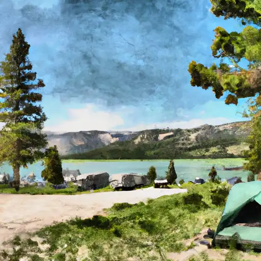
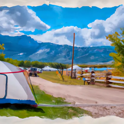
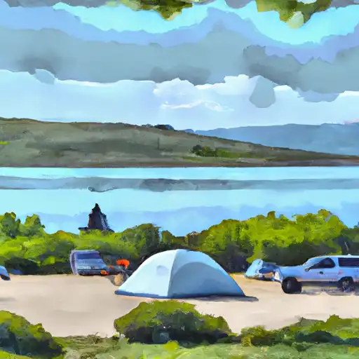
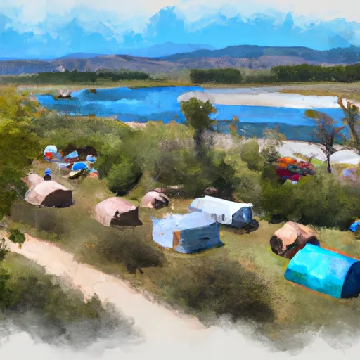
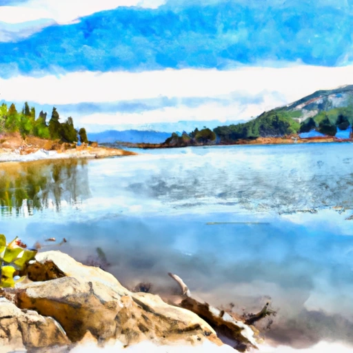
Area Campgrounds
| Location | Reservations | Toilets |
|---|---|---|
 Stateline
|
||
 Bridger Lake
|
||
 Bridger Lake Campground
|
||
 Marsh Lake
|
||
 Marsh Lake Campground
|
||
 China Meadows Campground
|
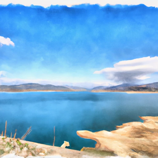 Stateline Reservoir
 Meeks Cabin Reservoir
 Moon Lake Reservoir
 Upper Stillwater Reservoir
 Lost Lake
 Trial Lake
 Red Castle Lake To Trailhead
 Source To Nf Boundary
 Henry'S Fork Lake To Trailhead
 Forest Road 082 To Nf Boundary
 Source To Forest Road 082
 Confluence Of West Fork And East Fork To Meeks Cabin Reservoir
 Marsh Lake
 Deadhorse
 China Lake
 Henrys Fork River
 Meeks Cabin