Summary
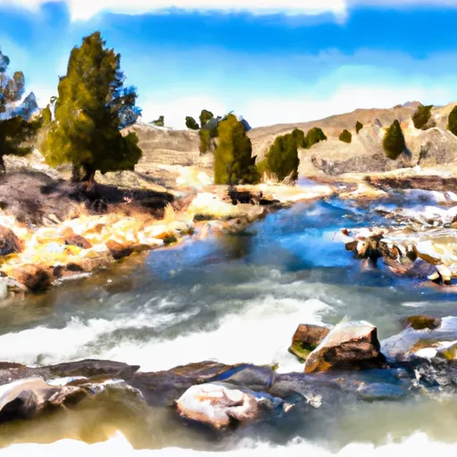
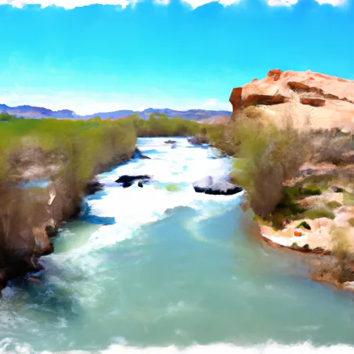
The ideal streamflow range for this river run is between 500 and 1500 cfs. The river is rated Class II-III, providing a perfect mix of excitement and safety. The segment mileage for this river run is 9.2 miles, taking approximately 3-4 hours to complete.
There are several river rapids and obstacles to navigate through, including the Big Kahuna, a Class III rapid that requires quick reflexes and excellent paddling skills. Another noteworthy obstacle is the Tumbleweed, a Class II rapid that is perfect for beginners to gain confidence in their rafting abilities.
It is important to note that this section of the Whitewater River Run is located on public lands managed by the Bureau of Land Management. Visitors are required to obtain permits for river access and are subject to certain regulations, including no campfires, no littering, and no swimming or diving in the river.
Overall, the Whitewater River Run offers an exciting and safe rafting experience for all skill levels. It is important for visitors to follow all regulations and guidelines to ensure the preservation and safety of this beautiful wilderness area.
°F
°F
mph
Wind
%
Humidity
15-Day Weather Outlook
River Run Details
| Last Updated | 2025-11-24 |
| River Levels | 204 cfs (4.94 ft) |
| Percent of Normal | 50% |
| Status | |
| Class Level | ii-iii |
| Elevation | ft |
| Streamflow Discharge | cfs |
| Gauge Height | ft |
| Reporting Streamgage | USGS 09220000 |
5-Day Hourly Forecast Detail
Nearby Streamflow Levels
Area Campgrounds
| Location | Reservations | Toilets |
|---|---|---|
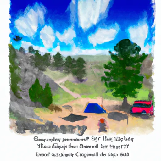 Trail Head Campground
|
||
 China Meadows Campground
|
||
 China Meadows
|
||
 Hoop Lake
|
||
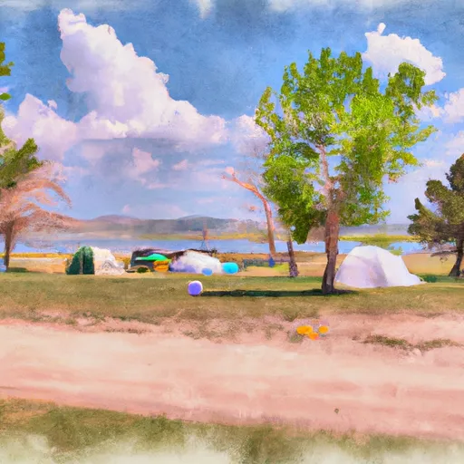 Hoop Lake Campground
|
||
 Marsh Lake
|


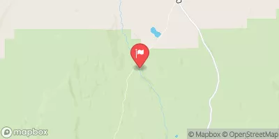
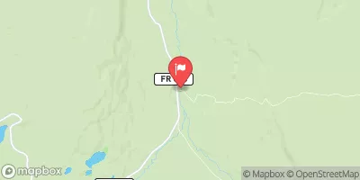
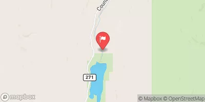
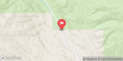
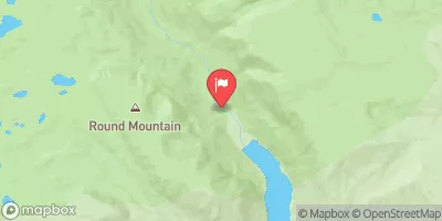
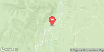
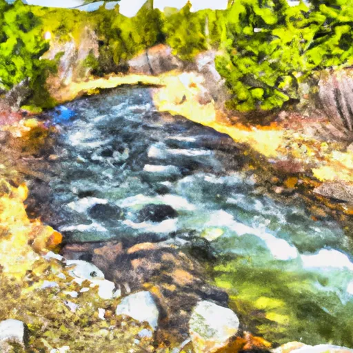 Source To Forest Road 082
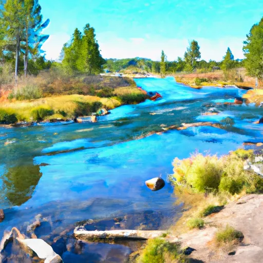 Henry'S Fork Lake To Trailhead
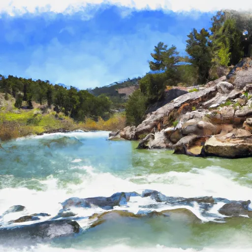 Beaver Lake To Wilderness Boundary
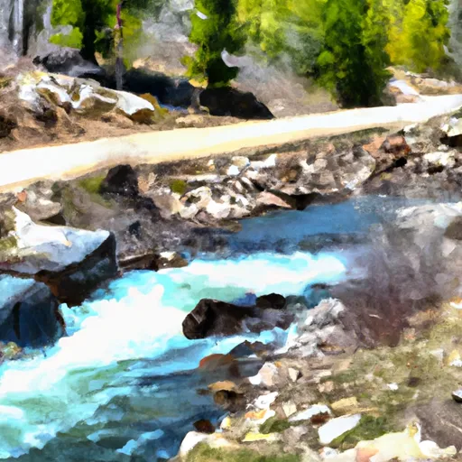 Forest Road 082 To Nf Boundary
 Wilderness Boundary To Confluence With East Fork Beaver Creek
 Source To Hoop Lake Diversion
 Kabell Lake
 Hoop Lake
 China Lake
 Bridger Lake
 Marsh Lake