Bunker Butte Reservoir Report
Nearby: Bates Valarie Irrigation
Last Updated: February 22, 2026
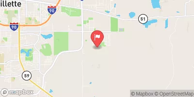
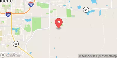
Bunker Butte, located in Campbell County, Wyoming, is a privately owned Earth dam primarily used for irrigation purposes on the Bunker Butte Draw.
Summary
Completed in 1956, this dam stands at a height of 30 feet with a storage capacity of 68 acre-feet. With a fair condition assessment and low hazard potential, Bunker Butte is regulated and inspected by the Wyoming State Engineer's Office to ensure its structural integrity and safety.
The dam features an uncontrolled spillway with a width of 300 feet and has a moderate risk rating. While it has not undergone any modifications in recent years, regular inspections are conducted every five years to assess its condition. With a surface area of 5 acres and a drainage area of 0 acres, Bunker Butte plays a crucial role in the local water management system, providing water for agricultural irrigation in the area.
Managed by private owners, Bunker Butte serves as a vital infrastructure for water resource management in the region. With its strategic location and efficient operation, this dam contributes to sustainable water usage and supports the local agricultural community by ensuring reliable water supply for irrigation purposes. As a key component of the water management system in Campbell County, Bunker Butte plays a significant role in maintaining the ecological balance and supporting the region's agricultural economy.
°F
°F
mph
Wind
%
Humidity
15-Day Weather Outlook
Year Completed |
1956 |
Dam Length |
465 |
Dam Height |
30 |
River Or Stream |
BUNKER BUTTE DRAW |
Primary Dam Type |
Earth |
Surface Area |
5 |
Hydraulic Height |
25 |
Nid Storage |
68 |
Structural Height |
30 |
Outlet Gates |
None |
Hazard Potential |
Low |
Foundations |
Soil |
Nid Height |
30 |
Seasonal Comparison
5-Day Hourly Forecast Detail
Nearby Streamflow Levels
Dam Data Reference
Condition Assessment
SatisfactoryNo existing or potential dam safety deficiencies are recognized. Acceptable performance is expected under all loading conditions (static, hydrologic, seismic) in accordance with the minimum applicable state or federal regulatory criteria or tolerable risk guidelines.
Fair
No existing dam safety deficiencies are recognized for normal operating conditions. Rare or extreme hydrologic and/or seismic events may result in a dam safety deficiency. Risk may be in the range to take further action. Note: Rare or extreme event is defined by the regulatory agency based on their minimum
Poor A dam safety deficiency is recognized for normal operating conditions which may realistically occur. Remedial action is necessary. POOR may also be used when uncertainties exist as to critical analysis parameters which identify a potential dam safety deficiency. Investigations and studies are necessary.
Unsatisfactory
A dam safety deficiency is recognized that requires immediate or emergency remedial action for problem resolution.
Not Rated
The dam has not been inspected, is not under state or federal jurisdiction, or has been inspected but, for whatever reason, has not been rated.
Not Available
Dams for which the condition assessment is restricted to approved government users.
Hazard Potential Classification
HighDams assigned the high hazard potential classification are those where failure or mis-operation will probably cause loss of human life.
Significant
Dams assigned the significant hazard potential classification are those dams where failure or mis-operation results in no probable loss of human life but can cause economic loss, environment damage, disruption of lifeline facilities, or impact other concerns. Significant hazard potential classification dams are often located in predominantly rural or agricultural areas but could be in areas with population and significant infrastructure.
Low
Dams assigned the low hazard potential classification are those where failure or mis-operation results in no probable loss of human life and low economic and/or environmental losses. Losses are principally limited to the owner's property.
Undetermined
Dams for which a downstream hazard potential has not been designated or is not provided.
Not Available
Dams for which the downstream hazard potential is restricted to approved government users.

 Bunker Butte