Pilot Butte Reservoir Report
Last Updated: February 17, 2026
Pilot Butte, located in Riverton, Wyoming, is a federal-owned earth dam constructed in 1925 for irrigation purposes on the Wyoming Canal.
Summary
Managed by the Bureau of Reclamation, this multi-arch dam stands at a height of 64 feet and has a hydraulic height of 55 feet, with a storage capacity of 36,900 acre-feet. The dam spans 1,300 feet in length and has a spillway width of 100 feet to accommodate a maximum discharge of 500 cubic feet per second.
With a surface area of 900 acres and a drainage area of 9 square miles, Pilot Butte plays a crucial role in water resource management in Fremont County, Wyoming. While the dam has a high hazard potential, it is regularly inspected by the Bureau of Reclamation, with the last inspection conducted in July 2020. Despite not having a condition assessment available, the dam's risk assessment is moderate, with risk management measures in place to ensure its structural integrity and the safety of downstream communities.
For water resource and climate enthusiasts, Pilot Butte represents a significant engineering feat in the region, serving as a vital component of the irrigation infrastructure along the Wyoming Canal. As a key feature in the Bureau of Reclamation's operations, the dam stands as a testament to the agency's commitment to managing water resources effectively and ensuring the safety of surrounding communities. With its historical significance and ongoing maintenance, Pilot Butte continues to play a crucial role in sustaining agricultural activities and water supply in Fremont County.
°F
°F
mph
Wind
%
Humidity
15-Day Weather Outlook
Year Completed |
1925 |
Dam Length |
1300 |
Dam Height |
64 |
River Or Stream |
WYOMING CANAL |
Primary Dam Type |
Earth |
Surface Area |
900 |
Hydraulic Height |
55 |
Drainage Area |
9 |
Nid Storage |
36900 |
Structural Height |
64 |
Outlet Gates |
Tainter (radial) - 6 |
Hazard Potential |
High |
Foundations |
Soil |
Nid Height |
64 |
Seasonal Comparison
5-Day Hourly Forecast Detail
Nearby Streamflow Levels
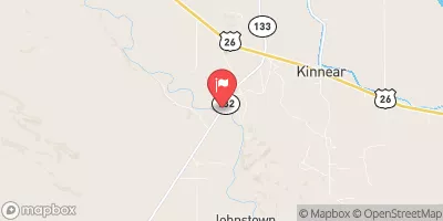 Wind River Near Kinnear
|
744cfs |
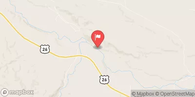 Wind River Near Crowheart
|
1630cfs |
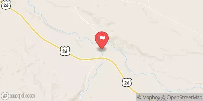 Bull Lake Creek Near Lenore
|
831cfs |
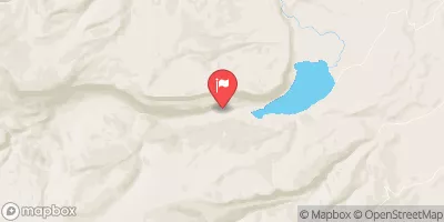 Sf L Wind Riv Ab Washakie Res
|
15cfs |
 Bull Lake Creek Above Bull Lake
|
30cfs |
 Wind River At Riverton
|
261cfs |
Dam Data Reference
Condition Assessment
SatisfactoryNo existing or potential dam safety deficiencies are recognized. Acceptable performance is expected under all loading conditions (static, hydrologic, seismic) in accordance with the minimum applicable state or federal regulatory criteria or tolerable risk guidelines.
Fair
No existing dam safety deficiencies are recognized for normal operating conditions. Rare or extreme hydrologic and/or seismic events may result in a dam safety deficiency. Risk may be in the range to take further action. Note: Rare or extreme event is defined by the regulatory agency based on their minimum
Poor A dam safety deficiency is recognized for normal operating conditions which may realistically occur. Remedial action is necessary. POOR may also be used when uncertainties exist as to critical analysis parameters which identify a potential dam safety deficiency. Investigations and studies are necessary.
Unsatisfactory
A dam safety deficiency is recognized that requires immediate or emergency remedial action for problem resolution.
Not Rated
The dam has not been inspected, is not under state or federal jurisdiction, or has been inspected but, for whatever reason, has not been rated.
Not Available
Dams for which the condition assessment is restricted to approved government users.
Hazard Potential Classification
HighDams assigned the high hazard potential classification are those where failure or mis-operation will probably cause loss of human life.
Significant
Dams assigned the significant hazard potential classification are those dams where failure or mis-operation results in no probable loss of human life but can cause economic loss, environment damage, disruption of lifeline facilities, or impact other concerns. Significant hazard potential classification dams are often located in predominantly rural or agricultural areas but could be in areas with population and significant infrastructure.
Low
Dams assigned the low hazard potential classification are those where failure or mis-operation results in no probable loss of human life and low economic and/or environmental losses. Losses are principally limited to the owner's property.
Undetermined
Dams for which a downstream hazard potential has not been designated or is not provided.
Not Available
Dams for which the downstream hazard potential is restricted to approved government users.

 Pilot Butte