Knife Edge Dam

Knife Edge
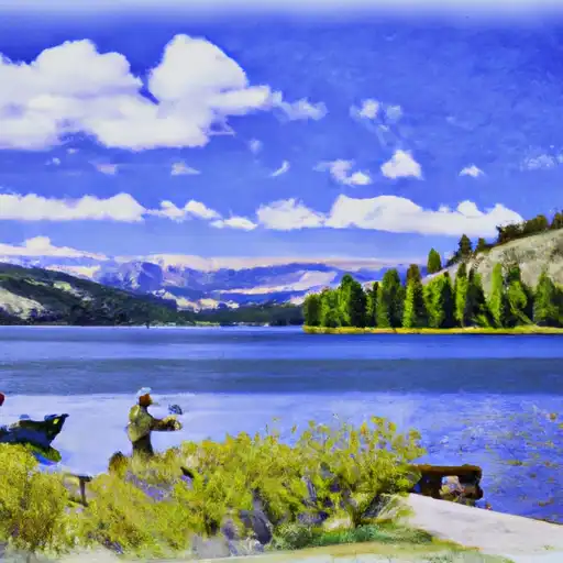
Knife Edge is a Federal-owned dam located in Washakie County, Wyoming, along the Knife Edge Draw river. This earth dam stands at a height of 32 feet and spans 360 feet in length, primarily serving the purpose of water supply. With a low hazard potential and fair condition assessment, Knife Edge is regulated, inspected, and enforced by the Wyoming State Engineer's Office, ensuring its safety and functionality in providing water resources to the region.
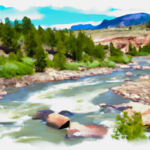
Despite its modest height and moderate risk assessment rating, Knife Edge has a controlled spillway with a width of 60 feet and a storage capacity of 29 acre-feet. The dam's last inspection in June 2018 deemed its condition as fair, highlighting its ongoing maintenance and operational efficiency. With its location in a scenic area of Wyoming and its importance in water resource management, Knife Edge represents a crucial infrastructure piece in sustaining the local ecosystem and climate resilience efforts in the region.
As water resource and climate enthusiasts continue to monitor and engage in the conservation and management of water infrastructure, Knife Edge stands as a testament to responsible dam ownership and regulation. Its role in water supply and risk management underscores the importance of maintaining such structures for the benefit of both human populations and the natural environment, making it a focal point for discussions on sustainable water resource practices and climate adaptation strategies in Wyoming and beyond.
Plan around the weather
Same NOAA / yr.no feed Snoflo's iOS app uses. Watch the precipitation column on the meteogram -- rain on the basin upstream typically lifts inflow 24-72 hours later.
Next 5 days, hour by hour
Temperature line with weather symbols on top, snow + rain accumulation as columns, humidity as a dotted line.
5-day forecast table
Every 3 hours, broken out across temperature, snow, rain, humidity, and wind. Each cell is colour-coded relative to the column min/max.
| Time | Condition | Temp (°F) | Snow (in) | Rain (in) | Humidity (%) | Wind (mps) | Wind dir |
|---|---|---|---|---|---|---|---|
| Loading detailed forecast… | |||||||
15-day temperature & precipitation
Daily temperatures, snow, and rain projected over the next two weeks.
Nearby streamflow gauges
USGS streamgauges around Knife Edge -- inflows here typically show up in storage 24-72 hours later.
| Streamgauge | Discharge | View |
|---|---|---|
| North Fork Powder River Near Hazelton | 3 cfs | → |
| Bighorn R At Worland Wyo | 4,350 cfs | → |
| Middle Fork Powder River Near Barnum | 5 cfs | → |
| Nf Powder River Below Pass Creek | 50 cfs | → |
| Shell Creek Above Shell Creek Reservoir | 12 cfs | → |
| Bighorn River At Basin | 717 cfs | → |


About Knife Edge
Where does the data for Knife Edge come from?
Structural and regulatory data come from the U.S. Army Corps of Engineers' National Inventory of Dams (NID). Weather forecast comes from NOAA / yr.no -- the same feed Snoflo's iOS app uses.
How often is the report updated?
NID structural data refreshes annually as the Corps publishes updated assessments. The weather forecast refreshes throughout the day.
What does the Low hazard rating mean?
The Corps of Engineers' hazard potential classification grades probable consequences if the dam fails: High = probable loss of human life; Significant = no probable loss of human life but possible economic loss / environmental damage; Low = no probable loss of human life, only minor economic / environmental losses. See the Dam Data Reference card below for the full definitions.
What's "% of normal"?
The current storage value compared to the historical average storage on this calendar day. 100% = right on average; values above 100% mean above-normal storage (wet year); values below mean below-normal (dry year or drought).
Can I get alerts when storage crosses a threshold?
Yes -- alerts are managed in the Snoflo iOS app. Favorite this dam, set a threshold, and you'll get a push the moment conditions cross.
Dam data reference
Condition Assessment
- Satisfactory
- No existing or potential dam safety deficiencies are recognized. Acceptable performance is expected under all loading conditions (static, hydrologic, seismic) in accordance with the minimum applicable state or federal regulatory criteria or tolerable risk guidelines.
- Fair
- No existing dam safety deficiencies are recognized for normal operating conditions. Rare or extreme hydrologic and/or seismic events may result in a dam safety deficiency. Risk may be in the range to take further action.
- Poor
- A dam safety deficiency is recognized for normal operating conditions which may realistically occur. Remedial action is necessary. POOR may also be used when uncertainties exist as to critical analysis parameters which identify a potential dam safety deficiency.
- Unsatisfactory
- A dam safety deficiency is recognized that requires immediate or emergency remedial action for problem resolution.
- Not Rated
- The dam has not been inspected, is not under state or federal jurisdiction, or has been inspected but, for whatever reason, has not been rated.
Hazard Potential Classification
- High
- Dams assigned the high hazard potential classification are those where failure or mis-operation will probably cause loss of human life.
- Significant
- Dams assigned the significant hazard potential classification are those dams where failure or mis-operation results in no probable loss of human life but can cause economic loss, environmental damage, disruption of lifeline facilities, or impact other concerns. Significant hazard potential classification dams are often located in predominantly rural or agricultural areas but could be in areas with population and significant infrastructure.
- Low
- Dams assigned the low hazard potential classification are those where failure or mis-operation results in no probable loss of human life and low economic and/or environmental losses. Losses are principally limited to the owner's property.
- Undetermined
- Dams for which a downstream hazard potential has not been designated or is not provided.