2026-05-06T15:00:00-06:00
* WHAT...Heavy snow possible. Total snow accumulations between 3 and 8 inches possible, heaviest on colder surfaces and west of I-25. * WHERE...Fort Collins, Boulder and the western suburbs of Denver, Denver, and Castle Rock. * WHEN...From Tuesday evening through Wednesday afternoon. Heaviest Tuesday night into Wednesday morning. * IMPACTS...Heavy wet snow will accumulate on tree branches and powerlines, possibly causing them to break and lead to power outages. Despite lesser accumulations on roadways, slick and hazardous conditions are still possible for the Wednesday morning commute.
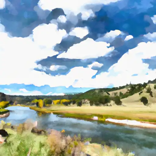
Laramie River
Last Updated: May 4, 2026
Total streamflow across the
Laramie River
was last observed at
75
cfs, and is expected to yield approximately
149
acre-ft of water today; about 13%
of normal.
River levels are low and may signify a drought.
Average streamflow for this time of year is
587 cfs,
with recent peaks last observed
on
2016-05-24 when daily discharge volume was observed at
9,690 cfs.
Maximum discharge along the river is currently at the
Laramie River Near Bosler
reporting a streamflow rate of 1,950 cfs.
This is also the highest stage along the Laramie River, with a gauge stage of
5.94 ft at this location.
This river is monitored from 5 different streamgauging stations along the Laramie River, the highest being situated at an altitude of 8,256 ft, the
Laramie River Near Glendevey.
The Laramie River is a tributary of the North Platte River, flowing through southeastern Wyoming and northeastern Colorado.
15-Day Long Term Forecast
River Details
| Last Updated | 2026-05-04 |
| Discharge Volume | 149 ACRE-FT |
| Streamflow |
75.3 cfs
Past 24 Hours: +24.73 cfs (+48.9%) |
| Percent of Normal | 12.82% |
| Maximum |
9,690.0 cfs
2016-05-24 |
| Seasonal Avg | 587 cfs |
River Streamflow Levels
| Streamgauge | Streamflow | Gauge Stage | 24hr Change (%) | % Normal | Minimum (cfs) | Maximum (cfs) | Air Temp | Elevation |
|---|---|---|---|---|---|---|---|---|
|
Laramie River Near Glendevey
USGS 06657500 |
32 cfs | 0.85 ft | -19.6 | |||||
|
Laramie R Bl Pioneer Canal Nr Woods Landing
USGS 06659502 |
1010 cfs | 3.23 ft | ||||||
|
Laramie River At Laramie
USGS 06660000 |
7 cfs | 3.23 ft | -5.36 | |||||
|
Laramie River Near Bosler
USGS 06661585 |
1950 cfs | 5.94 ft | ||||||
|
Laramie River Near Fort Laramie
USGS 06670500 |
43 cfs | 2.29 ft | 0 |
Seasonal Discharge Comparison
Maximum Streamflow Discharge
Streamflow Elevation Profile
The Laramie River is a tributary of the North Platte River, approximately 280 miles (450 km) long, in the U.S. states of Colorado and Wyoming. The river was named for Jacques La Ramie, a fur trapper who visited the area in the early 19th century. Laramie County, Wyoming, the city of Laramie, and other geographical entities in the region have "Laramie" in their names.

 Spencer Heights
 Big South
 Rustic (Upper)
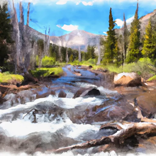 Headwaters To Fan Lake
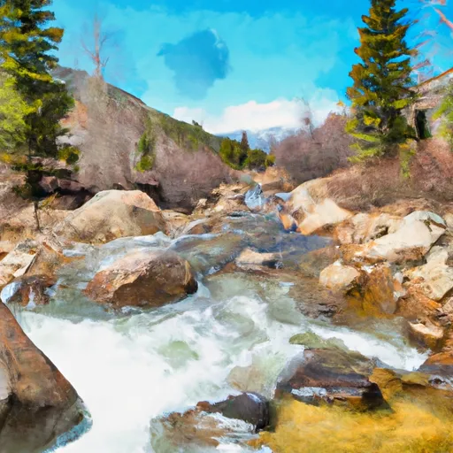 Headwaters To Ends 0.5 Miles Upstream From End Of Fern Lake Road
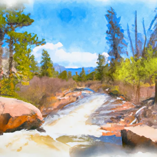 Begins 0.5 Miles Away From Trail Ridge Road To Ends Where River Segment Exits Rocky Mountain National Park
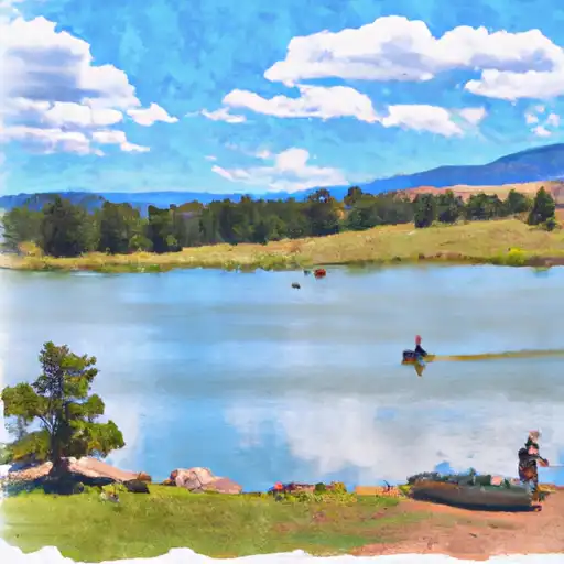 Chambers Lake
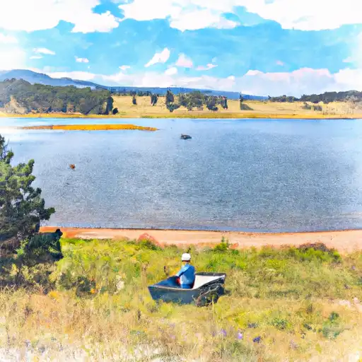 Laramie Lake
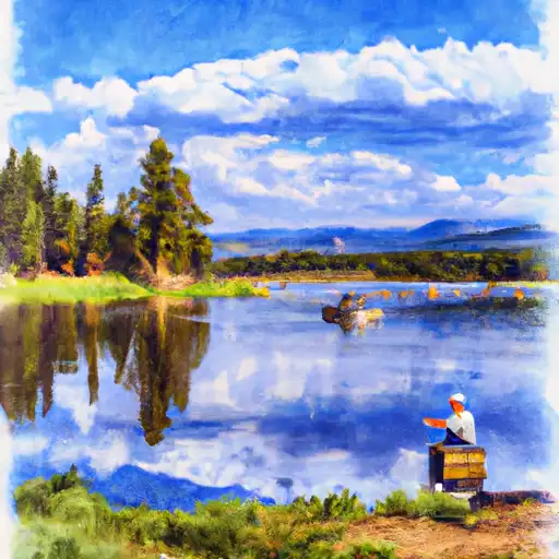 Barnes Meadow Reservoir
 Joe Wright Fishing Site
 Freewater Bridge Fishing Site
 Continue with Snoflo Premium