Summary
With tricky sections of rapids and rocks, the Rustic Upper River Run is best suited for experienced kayakers and rafters who are comfortable navigating through obstacles like the "Pine View Falls" and "The S Turn". It's recommended that the river's flow rate is around 800-1000 cfs to make for a more enjoyable experience. The stunning views of the surrounding mountains and forests make it a great destination for adventure-seekers looking for a thrilling and scenic float.
°F
°F
mph
Wind
%
Humidity
15-Day Weather Outlook
River Run Details
| Last Updated | 2023-06-13 |
| River Levels | 182 cfs (3.29 ft) |
| Percent of Normal | 84% |
| Optimal Range | 350-1300 cfs |
| Status | Too High |
| Class Level | III to III+ |
| Elevation | 5,245 ft |
| Run Length | 20.0 Mi |
| Gradient | 60 FPM |
| Streamflow Discharge | 18 cfs |
| Gauge Height | 2.6 ft |
| Reporting Streamgage | USGS 06752000 |
5-Day Hourly Forecast Detail
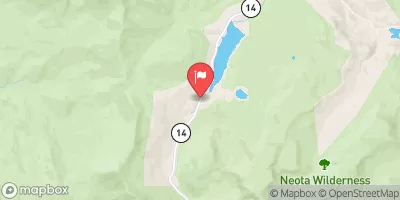
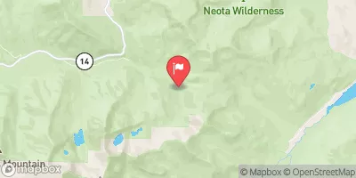
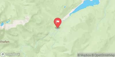
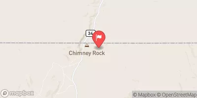
Nearby Streamflow Levels
Area Campgrounds
| Location | Reservations | Toilets |
|---|---|---|
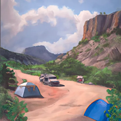 Big Bend
|
||
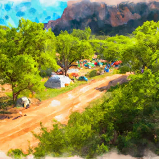 Sleeping Elephant Campground
|
||
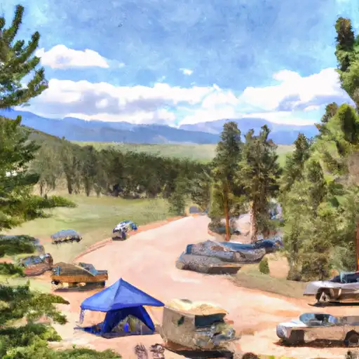 Sleeping Elephant
|
||
 2
2
|
||
 3
3
|
||
 4
4
|
River Runs
-
 Rustic (Upper)
-
 Spencer Heights
-
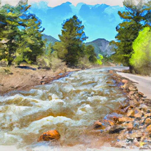 Source In Se 1/4 Sec 25, T10N, R75W To End Of The Four-Wheel Drive Road East Of The Nf Poudre Campground (Nw 1/4 Of Sec 21, T10N, R74W
-
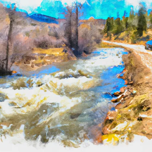 End Of Four-Wheel Drive Road To Pearl Creek In Se 1/4 Sec 21, T10N, R74W
-
 Big South
-
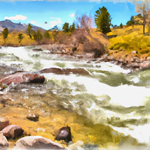 Pearl Creek To Junction Of Road West Of Creedmore Lakes In Sw 1/4 Sec 5, T10N, R73E


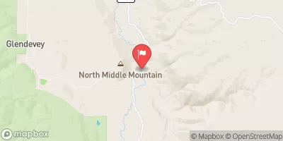
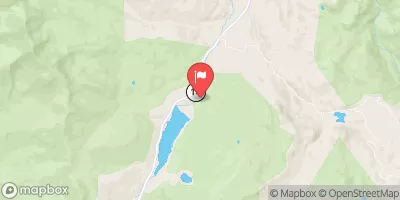
 Dowdy Drive 2, Larimer County
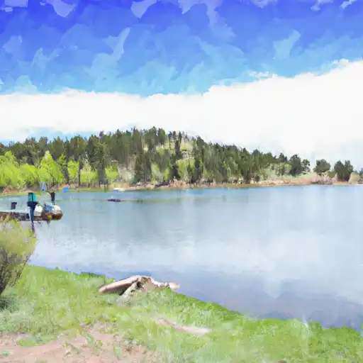 Bellaire Lake
 Indian Meadows Fishing Site
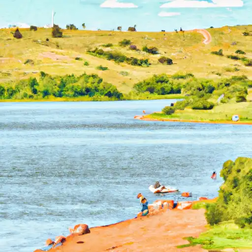 Comanche Lake
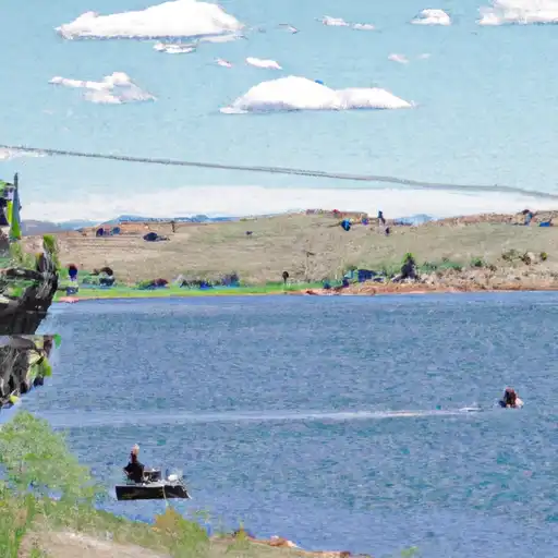 Comanche Reservoir
 Freewater Bridge Fishing Site