Summary
Maximum discharge along the river is currently at the reporting a streamflow rate of cfs. This is also the highest stage along the Selway River, with a gauge stage of ft at this location. This river is monitored from 1 different streamgauging stations along the Selway River, the highest being situated at an altitude of ft, the .
15-Day Weather Outlook
River Streamflow Levels
| Streamgauge | Streamflow | Gauge Stage | 24hr Change (%) | % Normal | Minimum (cfs) | Maximum (cfs) | Air Temp | Elevation |
|---|---|---|---|---|---|---|---|---|
|
Selway River Nr Lowell Id
USGS 13336500 |
2200 cfs | 4.43 ft | -2.22 |
Seasonal Discharge Comparison
Maximum Streamflow Discharge
Streamflow Elevation Profile
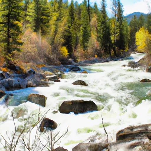
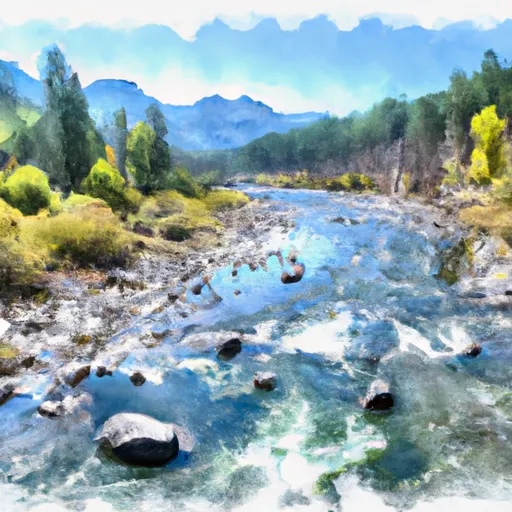
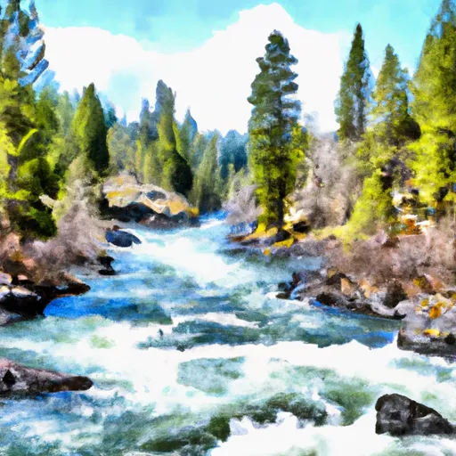
The Selway River is a large tributary of the Middle Fork of the Clearwater River in the U.S. state of Idaho. It flows within the Selway-Bitterroot Wilderness, the Bitterroot National Forest, and the Nez Perce National Forest of North Central Idaho. The entire length of the Selway was included by the United States Congress in 1968 as part of the National Wild and Scenic Rivers Act.The main stem of the Selway is 100 miles (160 km) in length from the headwaters in the Bitterroots to the confluence with the Lochsa near Lowell to form the Middle Fork of the Clearwater. The Selway River drains a 2,013-square-mile (5,210 km2) basin in Idaho County.

 Sec. 28, T30N, R13E To Boundary Selway-Bitterroot Wilderness
 Wilderness Boundary To Headwaters
 Paradise to Selway Falls
 32nd Street to Smelter
 Selway River, Sec. 16, T31N, R13E To Headwaters