2026-02-18T14:00:00-07:00
* WHAT...Snow expected. There is a likelihood of minor winter weather impacts. Total snow accumulations between 1 and 3 inches. * WHERE...Elk City, Highway 12 Lowell to Lolo Pass, and Dixie. * WHEN...From 11 PM this evening to 1 PM PST Wednesday. * IMPACTS...Winter traveling conditions. For MINOR winter weather impacts, expect a few inconveniences to normal activities. Use caution while driving. The hazardous conditions could impact the Wednesday morning commute, especially over higher passes.
Summary
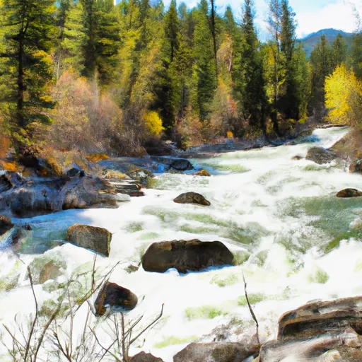
The ideal streamflow range for this stretch of river is between 1,400 and 3,000 cfs, which typically occurs in the late spring and early summer months. The run is rated as a Class III-IV, with several challenging rapids and obstacles throughout the 20-mile segment, including Devil's Tooth, Granite Creek, and Wildcat Creek.
The run begins at Section 28, T30N, R13E and ends at the Boundary of Selway-Bitterroot Wilderness. The segment mileage for this run is approximately 20 miles. The river flows through beautiful scenery, offering views of rugged canyons and remote wilderness areas.
There are specific regulations for this area, including a permit requirement for commercial outfitters and a limit on the number of commercial trips allowed per day. Additionally, visitors must follow Leave No Trace principles and pack out all trash and waste. Camping is allowed in designated areas only, and fires are prohibited.
Overall, the Whitewater River run offers a challenging and rewarding experience for experienced kayakers and rafters. It is important to check the streamflow levels and have appropriate gear and experience before attempting this run.
°F
°F
mph
Wind
%
Humidity
15-Day Weather Outlook
River Run Details
| Last Updated | 2026-02-07 |
| River Levels | 8660 cfs (6.42 ft) |
| Percent of Normal | 99% |
| Status | |
| Class Level | iii-iv |
| Elevation | ft |
| Streamflow Discharge | cfs |
| Gauge Height | ft |
| Reporting Streamgage | USGS 13307000 |
5-Day Hourly Forecast Detail
Nearby Streamflow Levels
Area Campgrounds
| Location | Reservations | Toilets |
|---|---|---|
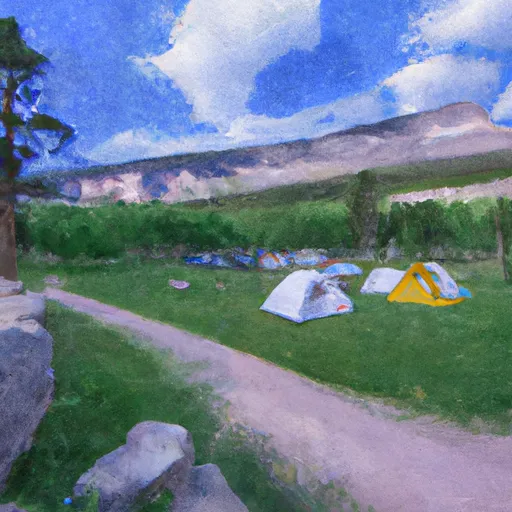 Paradise Campground
|
||
 Paradise
|
||
 Raven Creek Campground
|


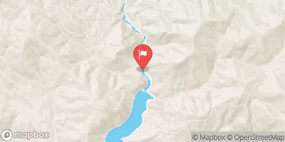

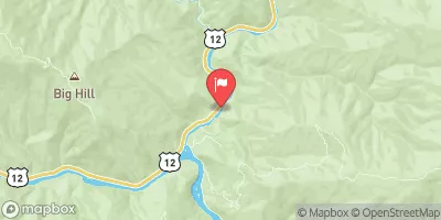
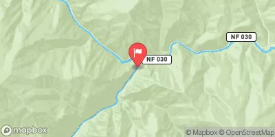
 Sec. 28, T30N, R13E To Boundary Selway-Bitterroot Wilderness
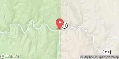
 Wilderness Boundary To Headwaters
 Paradise to Selway Falls
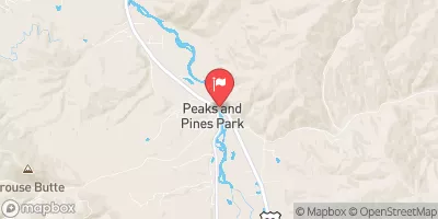
 32nd Street to Smelter
 Selway River, Sec. 16, T31N, R13E To Headwaters