Summary
The ideal streamflow range for this river is between 1,000 to 5,000 cfs, with the best time to run it being in the late spring and early summer. The river is rated as a Class III-IV, meaning it has moderate to difficult rapids and requires skilled paddlers.
The segment mileage of the Selway River run is approximately 47 miles, starting from Section 16, T31N, R13E to its headwaters. The river is known for its technical rapids, such as the Moose Creek Falls and the Ladle Rapid, which require precise maneuvering and strong paddling skills. The river also offers stunning views of the surrounding wilderness, making it a popular destination for adventure-seekers.
The Selway River is regulated by the United States Forest Service and the National Park Service. All visitors are required to obtain a permit before entering the area. The permit system is designed to limit the number of people and groups allowed on the river to protect the natural beauty and wilderness experience of the area. Additionally, visitors are required to follow leave-no-trace principles and pack out all waste.
In conclusion, the Selway River offers a challenging and exciting whitewater river run with technical rapids and stunning wilderness views. The ideal streamflow range is between 1,000 to 5,000 cfs, and the river is rated as a Class III-IV. Visitors must obtain a permit and follow regulations to protect the natural beauty of the area.
°F
°F
mph
Wind
%
Humidity
15-Day Weather Outlook
River Run Details
| Last Updated | 2026-02-07 |
| River Levels | 8660 cfs (6.42 ft) |
| Percent of Normal | 99% |
| Status | |
| Class Level | iii-iv |
| Elevation | ft |
| Streamflow Discharge | cfs |
| Gauge Height | ft |
| Reporting Streamgage | USGS 13307000 |


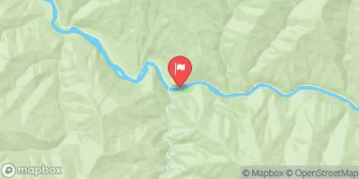
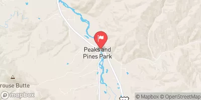
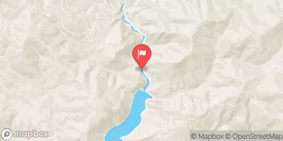
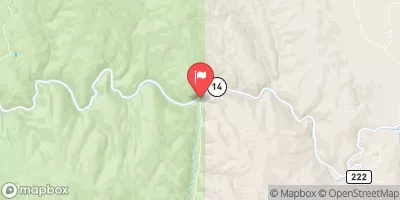
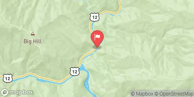
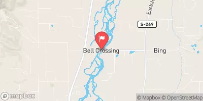
 Selway River, Sec. 16, T31N, R13E To Headwaters
 32nd Street to Smelter
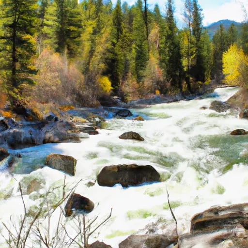 Sec. 28, T30N, R13E To Boundary Selway-Bitterroot Wilderness
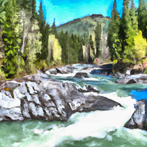 Selway River, Sec. 10, T32N, R12E To Headwaters All Forks
 Wilderness Boundary To Headwaters
 Paradise to Selway Falls