2026-05-06T15:00:00-06:00
* WHAT...Heavy snow expected. Total snow accumulations between 5 and 8 inches with locally up to 12 inches next to the foothills. * WHERE...Fort Collins, Boulder, Denver metro area, and Castle Rock. * WHEN...From 8 PM this evening to 3 PM MDT Wednesday. * IMPACTS...Heavy snow accumulating on trees may result in broken tree limbs, downed powerlines, and scattered power outages. Despite lesser accumulations on roadways, slick and hazardous conditions are still possible for the Wednesday morning commute.

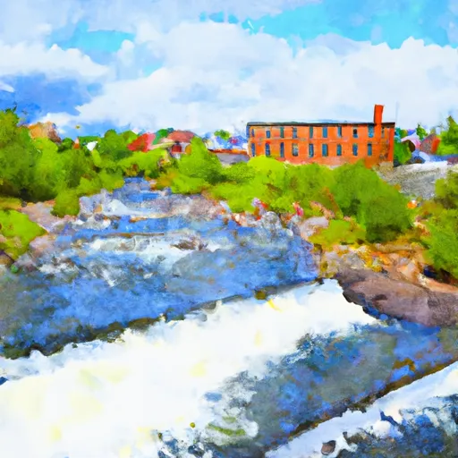
Walloomsac River
Last Updated: May 5, 2026
Maximum discharge along the river is currently at the reporting a streamflow rate of cfs. This is also the highest stage along the Walloomsac River, with a gauge stage of ft at this location. This river is monitored from 1 different streamgauging stations along the Walloomsac River, the highest being situated at an altitude of ft, the .
The Walloomsac River is a 16.7-mile-long tributary of the Hoosic River, located in southwestern Vermont and northwestern Massachusetts.
15-Day Long Term Forecast
River Streamflow Levels
| Streamgauge | Streamflow | Gauge Stage | 24hr Change (%) | % Normal | Minimum (cfs) | Maximum (cfs) | Air Temp | Elevation |
|---|---|---|---|---|---|---|---|---|
|
Walloomsac River Near North Bennington
USGS 01334000 |
149 cfs | 2 ft | -12.87 |
Seasonal Discharge Comparison
Maximum Streamflow Discharge
Streamflow Elevation Profile
The Walloomsac River () from the Native American name, Wal-loom-sac is a 16.8-mile-long (27.0 km) tributary of the Hoosic River in the northeastern United States. It rises in southwestern Vermont, in the Green Mountains east of the town of Bennington in Woodford Hollow at the confluence of Bolles Brook and City Stream where it is labeled Walloomsac Brook on maps but is locally known as "The Roaring Branch". The river then flows west toward Bennington and passes the downtown area to the north. For many years this section was intermittent due to the water having been diverted to power mills in town (ca. 1810). This divergence gave the name Walloomsac to a portion of the river flowing through town on the present course of South Stream. The combined Walloomsac / South Stream joins the Roaring Branch northwest of town. From here the river flows westward as the Walloomsac River and joins the Hoosic River below Hoosick Falls, New York.

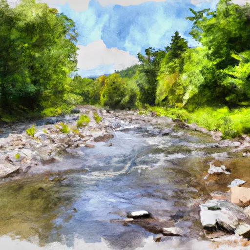 Woodford To Woodford Hollow
 First Bridge To Walloomsac Brook
 Headwaters To First Bridge
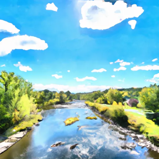 Ny/Vt State Line To Arlington, Vt
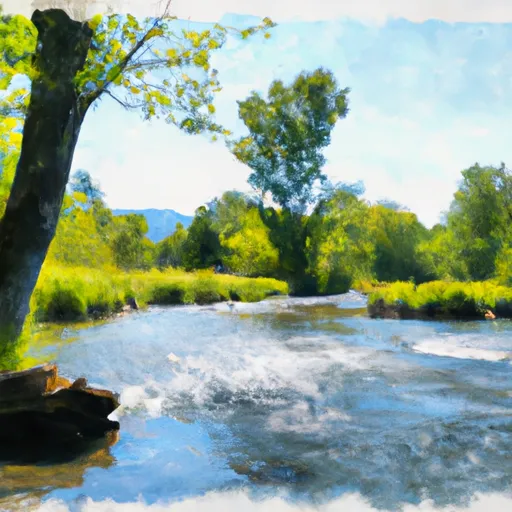 Branch Pond To Proclamation Boundary
 Stamford Town Line To Confluence With City Stream
 Continue with Snoflo Premium