
Montana Snowbowl Ski Report
Last Updated: May 7, 2026
Leave a Rating°F
°F
mph
Wind
%
Humidity
Montana Snowbowl ski resort is located just outside Missoula, Montana, and offers 39 runs across 950 skiable acres.
Summary
No new snow to report today, with snowpack levels sitting at 83.0". Snowpack levels for this time of year average around 83 inches, but can be as high as 137 inches. Weather today, sunny, with a high near 52. breezy, with a west wind 10 to 15 mph increasing to 18 to 23 mph in the afternoon. winds could gust as high as 39 mph.
15-Day Snow Forecast
Snowfall Accumulations
5-Day Hourly Forecast Detail
Seasonal Comparison
Year over year snow water equivalent
Snow Water Equivalent (SWE) shows how much water the snow holds. This is ideal for year-to-year tracking of real snowfall and water resources. Measurements from Stuart Mountain.
Regional Snowpack Depth
Snow levels measured from Stuart Mountain
Snowpack depth measures how much snow has accumulated in the area. This is a key indicator of powder quality, trail coverage, and how epic your runs are going to be this season at Montana Snowbowl.
Historical Air Temperature
Temperature fluctuations at Montana Snowbowl
Recent air temperature fluctuations at Montana Snowbowl impact snow quality and stability, from powder to slush.
About this Location
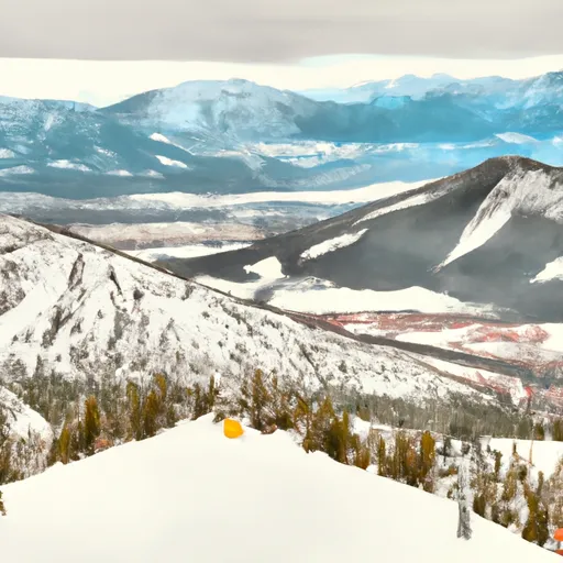
The Montana Snowbowl ski resort is located in the Lolo National Forest in the Missoula Valley of Montana. The resort is situated at the base of the Lolo Peak, which is part of the Bitterroot Mountain Range. The Bitterroot Range is known for its rugged peaks and pristine alpine terrain, providing skiers and snowboarders with challenging runs and breathtaking views.
Additionally, the Montana Snowbowl ski resort offers a variety of terrain for all skill levels, with runs ranging from beginner to expert. The resort also features a vertical drop of over 2,600 feet, making it a popular destination for those seeking a thrilling skiing or snowboarding experience.
Overall, the mountain ranges and aspects of the Montana Snowbowl ski resort in Montana provide visitors with a unique and exciting winter sports experience in a stunning alpine setting.
The resort is known for its challenging terrain, with the best trails being the steep and technical East Bowl and the gladed terrain of Grizzly Bowl. An interesting fact is that Snowbowl was originally opened in 1962 by a group of local skiers who used a rope tow powered by an old car engine. For beginner skiers, the easy-going Meadow Trail is a great option. The Last Run Inn is the best apres ski bar, offering a cozy atmosphere to relax and unwind after a day on the slopes.
Montana Snowbowl FAQ
Where does our Montana Snowbowl snow data come from?
This snow report combines on-mountain observations, regional SNOTEL sensors, and weather model data specific to Montana Snowbowl and the surrounding region.
How much snow did Montana Snowbowl receive over the past day?
The ski area received 0" of new snowfall since yesterday.
What's the weather like at Montana Snowbowl today?
Weather today, sunny, with a high near 52. breezy, with a west wind 10 to 15 mph increasing to 18 to 23 mph in the afternoon. winds could gust as high as 39 mph.
What are some ski resorts near Montana Snowbowl?
Discovery Ski Area
Blacktail Mountain Ski Area
Great Divide Snowsports
Teton Pass Ski Area
Lookout Pass

 MT 200 10495, Missoula County
 Johnsrud Boat Launch
 Whitaker Boat Launch
 WHITAKER BRIDGE DAY USE
 Greenough Park
 Council Grove State Park
 Missoula Memorial Rose Garden
 Frenchtown Pond State Park
 Playfair Park
 Continue with Snoflo Premium