
Snowbasin Ski Report
Last Updated: May 7, 2026
Leave a RatingNearby: Powder Mountain DC Shoes Mountain Lab
°F
°F
mph
Wind
%
Humidity
Snowbasin Ski Resort in Utah is a world-class ski destination boasting over 3,000 skiable acres, 107 runs, and 12 lifts.
Summary
No new snow to report today, with snowpack levels sitting at 0.0". Snowpack levels for this time of year average around 3 inches, but can be as high as 121 inches. Weather today, sunny, with a high near 56. north wind around 10 mph.
15-Day Snow Forecast
Snowfall Accumulations
5-Day Hourly Forecast Detail
Seasonal Comparison
Year over year snow water equivalent
Snow Water Equivalent (SWE) shows how much water the snow holds. This is ideal for year-to-year tracking of real snowfall and water resources. Measurements from Ben Lomond Trail.
Regional Snowpack Depth
Snow levels measured from Ben Lomond Trail
Snowpack depth measures how much snow has accumulated in the area. This is a key indicator of powder quality, trail coverage, and how epic your runs are going to be this season at Snowbasin.
Historical Air Temperature
Temperature fluctuations at Snowbasin
Recent air temperature fluctuations at Snowbasin impact snow quality and stability, from powder to slush.
About this Location
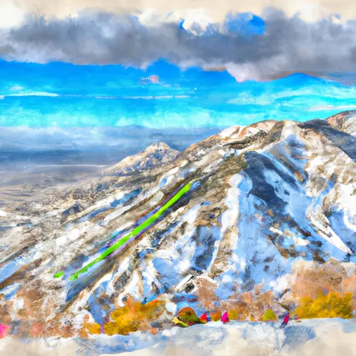
The Snowbasin ski resort in the United States is located in the Wasatch Range of the Rocky Mountains in Utah. The resort is known for its stunning mountain scenery and diverse terrain, with peaks reaching up to 9,600 feet in elevation. Some of the notable mountain aspects of Snowbasin include Mount Ogden, DeMoisy Peak, and Allen Peak. The resort offers a variety of terrain for skiers and snowboarders of all abilities, from gentle beginner slopes to challenging expert runs.
The resort's best trails include Wildflower, a long, wide-open blue run with stunning views, and Powder Paradise, a steep and challenging double-black diamond. Snowbasin also has a rich history, having hosted the downhill skiing events during the 2002 Winter Olympics. For beginners, the resort offers a dedicated learning area called Grizzly Center, complete with beginner-friendly runs and a magic carpet. And for après ski, the historic Cinnabar Lodge offers live music, craft beers, and delicious food in a cozy mountain setting.
Snowbasin FAQ
Where does our Snowbasin snow data come from?
This snow report combines on-mountain observations, regional SNOTEL sensors, and weather model data specific to Snowbasin and the surrounding region.
How much snow did Snowbasin receive over the past day?
The ski area received 0" of new snowfall since yesterday.
What's the weather like at Snowbasin today?
Weather today, sunny, with a high near 56. north wind around 10 mph.
What are some ski resorts near Snowbasin?
Powder Mountain
DC Shoes Mountain Lab
Canyons
Solitude Mountain Resort
Park City Mountain Resort

 South 7500 West Weber County
 Beus-Forest Green Park
 Dee Park
 Ogden Lion's Club Park
 Big D Sports Park
 MTC Learning Park
 Continue with Snoflo Premium