
OREGON SNOW REPORT
Last Updated: March 28, 2026
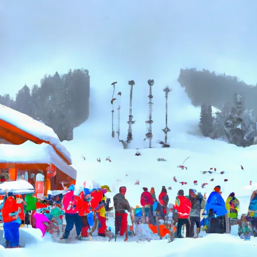
Snowpack levels across the state are currently 22% of normal. The deepest snowpack in Oregon was last observed at Mt Hood Test Site with a snowpack depth of 50”, about 41% of normal when compared to it's 123" average depth for this time of year.
Oregon Snowpack Map
Explore real-time snowpack depths across Oregon.
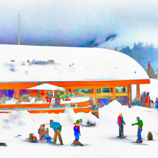
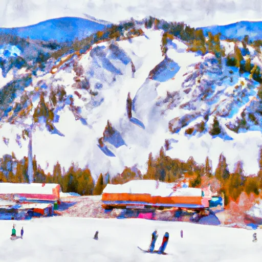 Anthony Lakes Mountain Resort
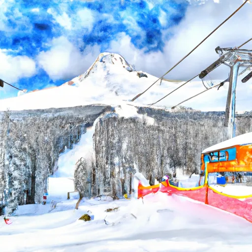
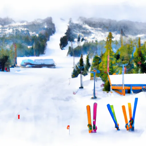 Hoodoo Ski Area
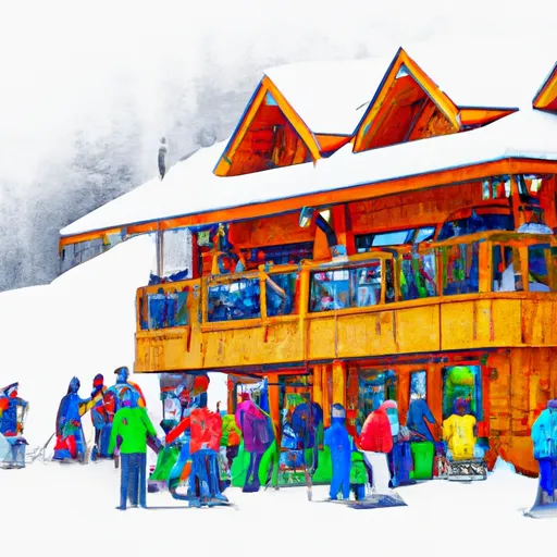
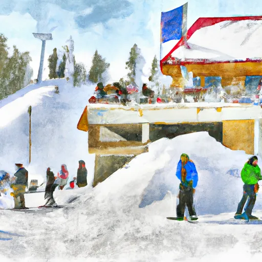 Mt. Ashland Ski & Snowboard Resort
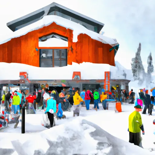
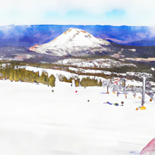 Mt. Bachelor
 Mt. Hood Meadows Ski Resort
 Mt. Hood Skibowl
 Spout Springs
 Timberline Ski Area
 Warner Canyon
 Willamette Pass
Oregon Snow Report FAQs
How often is this report updated?
Daily from SNOTEL and NOAA sources.
What are snowpack levels in Oregon like right now?
Snowpack levels across Oregon are approximately 22.0% of normal compared to previous years.
Where is it coldest in Oregon right now?
Nohrsc Mt. Howard is experiencing frigid temperatures of 45°.
Where in Oregon will get the most snowfall this week?
Blazed Alder is expected to receive up to 8" of more snowfall over the next 5 days.
Where is the most snow in Oregon today?
Currently at Mt Hood Test Site with 50".