
NEBRASKA SNOW REPORT
Last Updated: May 11, 2026
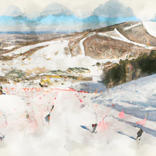
Snowpack levels across the state are currently 45% of normal. The deepest snowpack in Nebraska was last observed at Elgin with a snowpack depth of 1”, about 45% of normal when compared to it's 2" average depth for this time of year.
Weather Warnings
May 11 2026
VALLEY; GREELEY; SHERMAN; HOWARD; DAWSON; ...
FIRE WEATHER WATCH ISSUED MAY ...
LOUP RIVERS BASIN
FIRE WEATHER WATCH ISSUED MAY ...
KNOX; CEDAR; ANTELOPE; PIERCE; WAYNE
FIRE WEATHER WATCH ISSUED MAY ...
Nebraska Ski Area Forecast
Next 15 Days
 Devil's Nest
 Nebraski
Nebraska Snow Report FAQs
How often is this report updated?
Daily from SNOTEL and NOAA sources.
What are snowpack levels in Nebraska like right now?
Snowpack levels across Nebraska are approximately 45.0% of normal compared to previous years.
Where is it coldest in Nebraska right now?
Elgin is experiencing frigid temperatures of 71°.
Where is the most snow in Nebraska today?
Currently at Elgin with 1".