United States California

B. Cayuse River Access

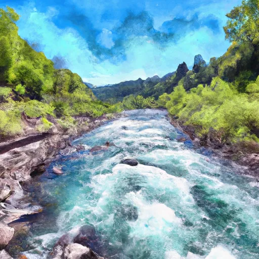
Cayuse River Access consists of a large sand and gravel river bar and a gravel walking trail to the river. There is one picnic table and a public telephone in the parking area. This area is for day use only, no overnight parking or camping. Rock hounds can explore the tailings, and nature lovers can observe wood ducks, kingfishers and western pond turtles in the nearby pond. In the summer, 20 species of dragon flies can be found at the pond.


B. CAYUSE RIVER ACCESS
Campground Restrictions
This area restricted to day use only. No overnight camping or parking.     For all boating on the Klamath, please read the restrictions on the Karuk Ceremonial dates.                           Water and garbage service are not provided. Bring enough water for drinking, cooking and washing as well as extra water to drown campfires each day. Please take all trash, garbage, fish guts and dog droppings with you when you leave. Dogs on leash only. Camping limit 14 days.

STREAMFLOW LEVELS
Streamgauge Streamflow
Bear Creek Blw Ashland Creek At Ashland
USGS 14354200
76 cfs
Applegate River Near Applegate
USGS 14366000
627 cfs
Rogue River At Dodge Bridge
USGS 14339000
2,430 cfs
Rogue River At Grants Pass
USGS 14361500
2,960 cfs
Rogue River Below Prospect
USGS 14330000
2,250 cfs
Rogue River At Raygold Near Central Point
USGS 14359000
2,980 cfs
Applegate River Near Wilderville
USGS 14369500
711 cfs

Nearby Camping
Location Campsites Reservations Toilets Showers Elevation
Mt Ashland 9 6,704 ft
Mount Ashland 9 6,499 ft
Tree Of Heaven 36 2,071 ft