Summary
The ideal streamflow range for this section of the river is between 300 and 1000 cubic feet per second (cfs). This range provides enough water for a fun and challenging ride without being too dangerous. The river is rated as a Class III-IV, with some sections reaching Class V during high water.
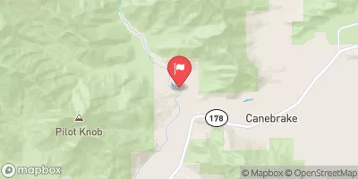
The segment mileage of this run is approximately 7 miles, starting at Isabella Lake Dam and ending just downstream of Sand Flat Campground. There are several notable rapids and obstacles along the way, including Class III rapids such as Pinball and Freight Train, and Class IV-V rapids such as Hospital Rock and Legal Beagle.
There are specific regulations in place for this area, including a requirement for all boaters to wear a personal flotation device (PFD) at all times while on the river. Additionally, camping along the river is not permitted without a permit from the Bureau of Land Management. It is important to note that this section of the river can be dangerous during high water, and boaters should always exercise caution and be prepared for changing conditions.
°F
°F
mph
Wind
%
Humidity
15-Day Weather Outlook
River Run Details
| Last Updated | 2026-02-07 |
| River Levels | 1290 cfs (7.11 ft) |
| Percent of Normal | 243% |
| Status | |
| Class Level | iii-iv |
| Elevation | ft |
| Streamflow Discharge | cfs |
| Gauge Height | ft |
| Reporting Streamgage | USGS 11189500 |
5-Day Hourly Forecast Detail
Nearby Streamflow Levels
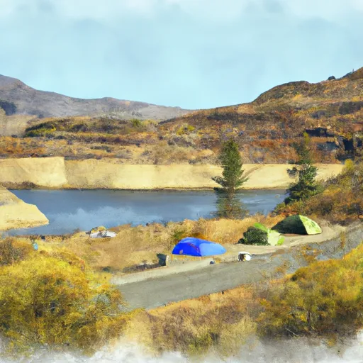
Area Campgrounds
| Location | Reservations | Toilets |
|---|---|---|
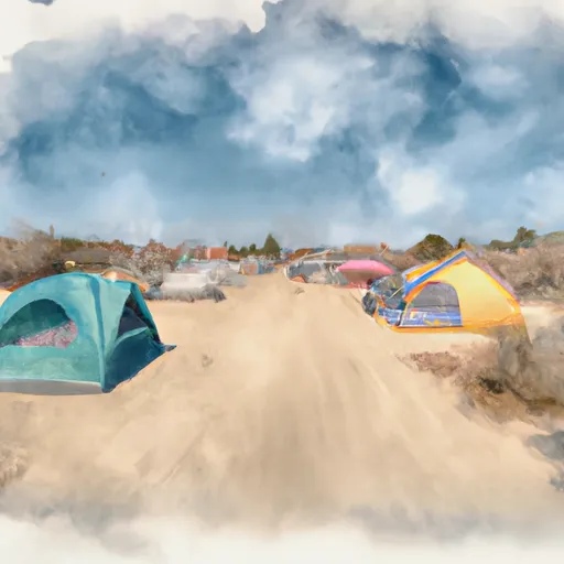 Sandy Flat Campground
|
||
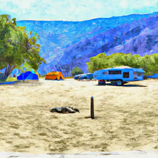 Sandy Flat
|
||
 Hobo
Hobo
|
||
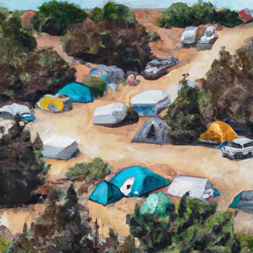 Hobo Campground
|
||
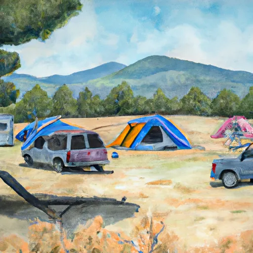 Keyesville Rec Site
|
||
 Main Dam
|


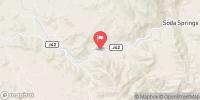
 Kern Canyon Road Bodfish
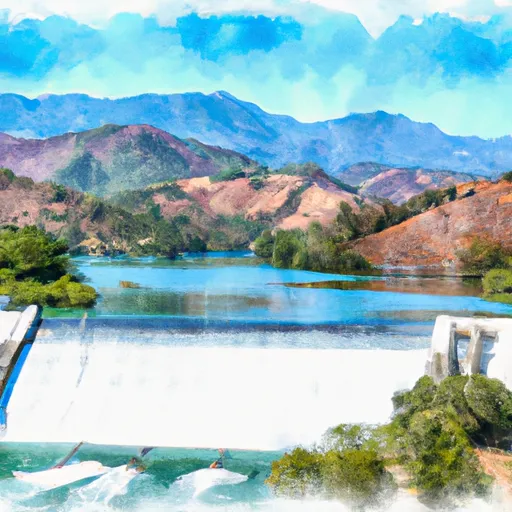 Isabella Lake Dam To 7 Miles Downstream
 Sandy Flat Camp to Democrat Picnic Area
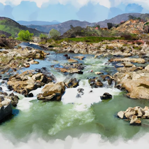 7 Miles From Isabella Dam To 20.2 Miles From Isabella Dam
 Lake Isabella
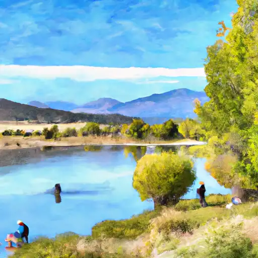 Isabella Lake
 Hanning Flat Dispersed Area
 Cedar Creek