2026-02-19T22:00:00-08:00
* WHAT...Heavy snow with additional snow accumulations up to 1 foot between 1000 and 3000 feet, 2 to 3 feet above 3000 feet, and up to 4 feet at peaks. Light snowfall accumulations up to 2 inches below 1000 feet in Shasta and Tehama Counties. Winds gusting as high 45 to 55 mph. * WHERE...Portions of Northern California, now including elevations below 1000 ft in Shasta and Tehama Counties * WHEN...Until 10 PM PST Thursday. * IMPACTS...Dangerous to near impossible travel conditions with chain controls and road closures. Additional power outages from downed trees and power lines. Low visibility due to a combination of gusty wind and heavy snow. * ADDITIONAL DETAILS...Snow levels remain around 1500 to 2500 feet through Thursday in the Sierra Foothills with potential to see snow levels as low as 1000 feet. Snow levels potentially down to 300 feet along the southern Cascades, Shasta County, and Tehama County in the morning hours.
Summary
The river features several obstacles including a few Class III rapids, small drops, and rocky sections. The best time of year to float this section of water is from April to June when the water flow ranges from 800-1200 cfs. This section is not recommended for beginners and requires intermediate to advanced paddling skills.
°F
°F
mph
Wind
%
Humidity
15-Day Weather Outlook
River Run Details
| Last Updated | 2023-06-13 |
| River Levels | 1390 cfs (1.86 ft) |
| Percent of Normal | 200% |
| Optimal Range | 750-3000 cfs |
| Status | Runnable |
| Class Level | II to II+ |
| Elevation | 717 ft |
| Run Length | 7.0 Mi |
| Gradient | 12 FPM |
| Streamflow Discharge | 1150 cfs |
| Gauge Height | 1.7 ft |
| Reporting Streamgage | USGS 11427000 |


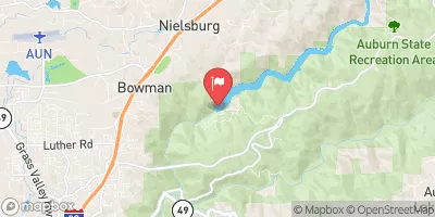
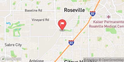
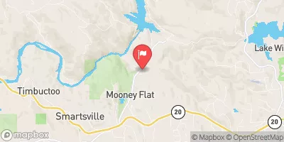
 Rucky A Chucky - Auburn State Rec Area
 Georgetown Airport Campground
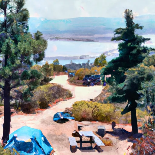 Bear River County Park
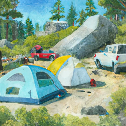 Dru Barner
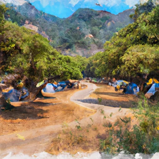 Dru Barner Campground
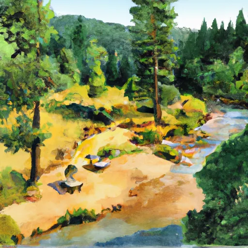 Mother Lode River Center
 Greenwood to Mammoth Bar
 Yankee Jim Road to Ponderosa Way (Shirttail)
 Chamberlain Falls (Iowa Hill to Yankee Jim)
 The Gorge
 Tunnel Run (Ralston Powerhouse to Greenwood)
 Coloma to Greenwood - (C to G)
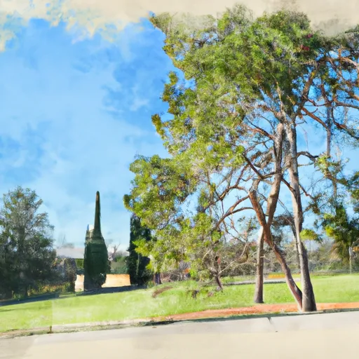 Ashford Park
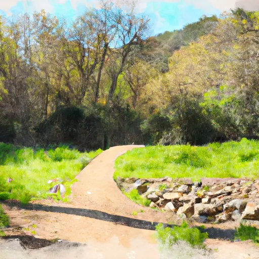 Auburn Ravine Trail Park
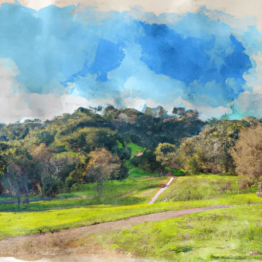 Auburn Regional Park
 Auburn Recreation District 6
 Auburn Recreation District 4
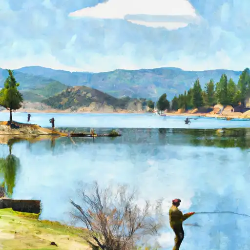 Lake Combie
 PG&E Rock Creek Lake Fishing Access
 Lake of the Pines