Summary
The boat ramp is specifically situated in the city of Rifle, which is part of Garfield County.
This boat ramp is a concrete ramp that provides access to the Colorado River, which flows through Garfield County. It is a popular destination for boaters and anglers alike, who come to take advantage of the scenic views and abundant fish populations in the area.
The Cottonwood Island Boat Ramp is also quite wide, measuring approximately 30 feet in width. This allows for easy and safe launching and retrieval of boats of different sizes and types.
As for the kinds of craft that are permitted on the water, the Colorado River is open to a variety of boats, including motorized and non-motorized vessels. This includes boats with outboard motors, rowboats, kayaks, canoes, and paddleboards.
In terms of the most recent information available, it is advisable to check with local authorities and/or the boat ramp operator to confirm any updates or changes that may have occurred since the last publication or data collection.
°F
°F
mph
Wind
%
Humidity
15-Day Weather Outlook
5-Day Hourly Forecast Detail
Area Streamflow Levels
| COLORADO RIVER NEAR DOTSERO | 512cfs |
| EAGLE RIVER BELOW GYPSUM | 108cfs |
| COLORADO RIVER BELOW GLENWOOD SPRINGS | 939cfs |
| ROARING FORK RIVER AT GLENWOOD SPRINGS | 299cfs |
| ROARING FORK RIVER NEAR EMMA | 198cfs |
| LAKE CREEK NEAR EDWARDS | 10cfs |

 Cottonwood Island Boat Ramp
 Lyon's Gulch Boat Ramp
 Dotsero Landing Boat Ramp
 Community Boat Ramp
 Pinball Access Boat Ramp
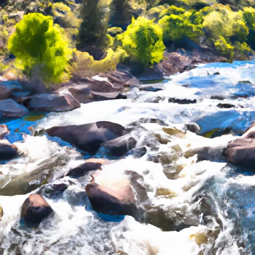 Deep Creek Segment 3
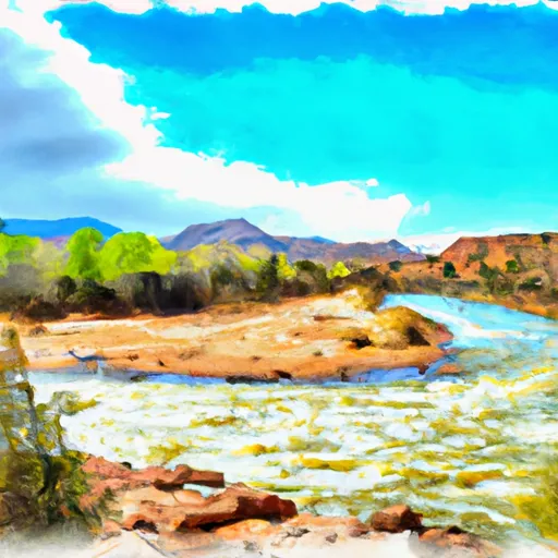 Colorado River Segment 7
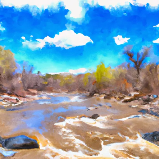 Deep Creek Segment 2B
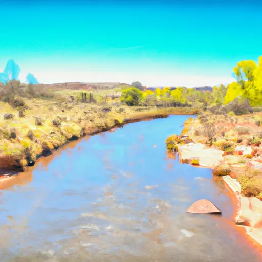 Deep Creek Diversion Ditch To Blm/Private Land Boundary
 1/4 Mile Below Headwaters To Deep Creek Diversion Ditch
 Nf Boundary To East End Of Glenwood Canyon