Summary
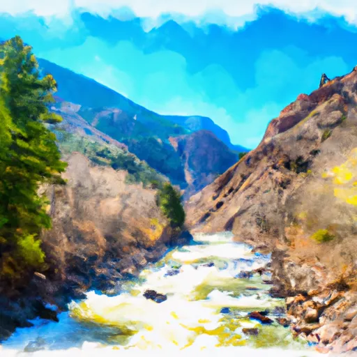
The ideal streamflow range for this section is between 1,500 and 4,500 cfs, which typically occurs from May to August. The segment covers approximately 14 miles and is rated as a Class III section, with some Class IV rapids, including the infamous “No Name” and “Grizzly Creek” rapids.
There are several notable rapids and obstacles along the way, including “Maneater,” a large boulder in the middle of the river that requires skillful maneuvering, and “Tombstone,” a rapid with a large drop and a dangerous undercut rock. It is important for boaters to be aware of these obstacles and take proper safety precautions.
There are specific regulations in place to protect the area, including a permit system for commercial outfitters, a limit on the number of people on the river at one time, and a prohibition on alcohol and drugs. Additionally, boaters must follow Leave No Trace principles and pack out all trash.
Overall, the Whitewater River Run Nf Boundary to East End of Glenwood Canyon is a challenging and exciting stretch of river for experienced boaters. It is important to check current streamflow conditions and follow all regulations to ensure a safe and enjoyable trip.
°F
°F
mph
Wind
%
Humidity
15-Day Weather Outlook
River Run Details
| Last Updated | 2026-02-07 |
| River Levels | 11300 cfs (7.64 ft) |
| Percent of Normal | 84% |
| Status | |
| Class Level | iii-iv |
| Elevation | ft |
| Streamflow Discharge | cfs |
| Gauge Height | ft |
| Reporting Streamgage | USGS 09085100 |
5-Day Hourly Forecast Detail
Nearby Streamflow Levels
 Colorado River Near Dotsero
|
703cfs |
 Roaring Fork River At Glenwood Springs
|
307cfs |
 Colorado River Below Glenwood Springs
|
1020cfs |
 Eagle River Below Gypsum
|
136cfs |
 Roaring Fork River Near Emma
|
170cfs |
 Crystal River Ab Avalanche C
|
46cfs |
Area Campgrounds
| Location | Reservations | Toilets |
|---|---|---|
 Coffee Pot Spring
|
||
 Upper Colorado Rec Area
|
||
 Lyons Gulch Dispersed
|
||
 Lyons Gulch Campground
|
||
 Cottonwood Island
|
||
 Gypsum Campground
|


 Grizzly Creek Garfield County
 Dotsero Landing Boat Ramp
 Lyon's Gulch Boat Ramp
 Cottonwood Island Boat Ramp
 Community Boat Ramp
 Nf Boundary To East End Of Glenwood Canyon
 Barrel Springs
 Shoshone (Power Plant to Grizzly Creek)
 Shoshone Power Plant To Nf Boundary
 A E Axtell Park
 Hyland Park
 Sister Lucy Downey Park