Summary
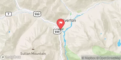
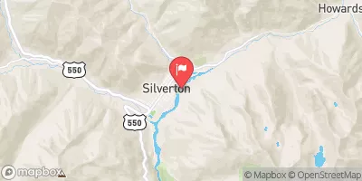
Segment 1 of the San Miguel River is approximately 13 miles long and is rated as Class II-III, which makes it suitable for intermediate to advanced paddlers. The ideal streamflow range for this segment of the river is between 200 and 800 cfs, with the best water occurring during the spring and early summer months.
One of the major rapids on the San Miguel River Segment 1 is called "Sawpit," which is a Class III rapid that is known for its large boulders and technical moves. Other notable rapids include "Little Gorge" and "Fall Creek."
In terms of regulations, all visitors to the area must have a valid fishing or hunting license, and camping is only allowed in designated areas. Additionally, visitors must follow all Leave No Trace principles and are encouraged to respect the local wildlife.
Overall, the San Miguel River Segment 1 offers an exciting and challenging whitewater experience for intermediate to advanced paddlers. With its beautiful scenery and exciting rapids, it is not to be missed by those looking for a thrilling adventure on the water.
°F
°F
mph
Wind
%
Humidity
15-Day Weather Outlook
River Run Details
| Last Updated | 2025-06-28 |
| River Levels | 346 cfs (2.7 ft) |
| Percent of Normal | 70% |
| Status | |
| Class Level | ii-iii |
| Elevation | ft |
| Streamflow Discharge | cfs |
| Gauge Height | ft |
| Reporting Streamgage | USGS 09171310 |


 Secret Campsite
 Mary E Campground
 Sunshine
 Sunshine Campground - Norwood RD
 Alta Lakes Campground (Designated) - Norwood RD
 Alta Lakes Campground (Dispersed)
 Deep Creek
 Down Valley Park
 Placerville
 Caddis Flats
 Specie Creek
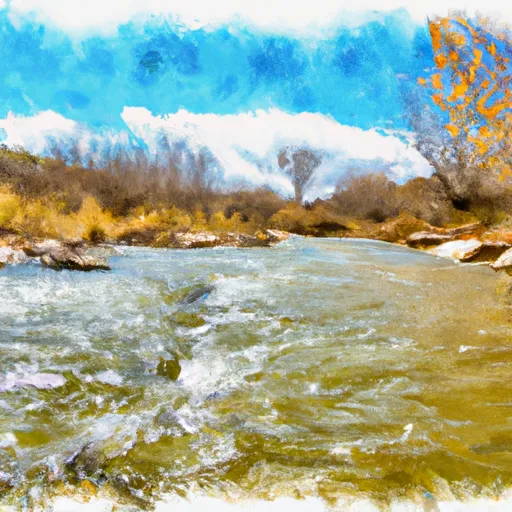 San Miguel River Segment 1
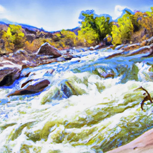 Saltado Creek
 Judy Long Memorial Park
 Telluride Town Park
 Wilderness Lizard Head