Summary
It is situated at latitude 44.7533989 and longitude -122.51415253. The site is operated by the Oregon State Parks and Recreation Department.
Fishermen's Bend Recreation Site is a concrete boat ramp that is suitable for launching small to medium-sized watercraft. The ramp is wide enough to accommodate two boats at the same time.
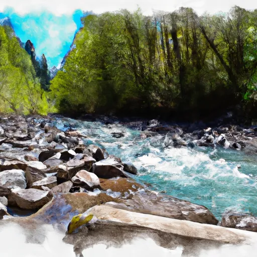
The boat ramp services North Santiam River, which is a popular spot for fishing, boating, and camping. North Santiam River is a tributary of the Santiam River, which flows into the Willamette River.
The kind of craft permitted on the water at Fishermen's Bend Recreation Site are powerboats, canoes, kayaks, and rafts. The maximum speed limit for powerboats is 10 mph, and all boats are required to have proper safety equipment.
This information was verified on the Oregon State Parks and Recreation Department's website as of September 2021.
°F
°F
mph
Wind
%
Humidity
15-Day Weather Outlook
Nearby Boat Launches
5-Day Hourly Forecast Detail
Area Streamflow Levels
| LITTLE NORTH SANTIAM RIVER NEAR MEHAMA | 528cfs |
| NORTH SANTIAM RIVER AT MEHAMA | 1840cfs |
| SCHAFER CREEK NEAR LACOMB | 2cfs |
| NORTH SANTIAM RIVER AT NIAGARA | 1030cfs |
| THOMAS CREEK NEAR SCIO | 416cfs |
| QUARTZVILLE CREEK NEAR CASCADIA | 338cfs |

 Fishermen's Bend Recreation Site
 North Santiam River
 Packsaddle County Park to Mill City
 Little North Santiam River
 Battle Axe Creek To Willamette Nf Boundary